20161222 A wet snowfall at Britt

Quite a difference between this photo taken on December 21 …

p1820366-1

… and  these taken the following morning around Britt:

p1820372-1

p1820383-1


p1820393-1


p1820402-1


p1820414-1-2


p1820432-1


p1820438-1


p1820458-1


p1820473-1


p1820482-1


p1820513-1

One of three “Giant’s Kettles” across the road from the late Mr LaChance’s house on Riverside Drive.  This one, at ~40 cm diameter, the smallest, has a red maple growing out  of it.  It was formed when the glacial ice sheets retreated from the Great Lakes, around 10,000 years ago.

p1820522-1

On the way to “Reynolds Rock” …

p1820525-1

Oft photographed white pine on Hwy 529 …

p1820566-1

A warm front followed the wet clinging snow, returning the scenery to a more stark look.    Lots of variation in winter scenes.

20161218 More snow, a porcupine and some sunshine

Snowstorming on the way back from Parry Sound, Shebeshekong Rd and Skerryvore Community Rd:

p1820237-1


p1820254-1


p1820257-1


p1820263-1


p1820271-1

Snow-plastered spruce remnants:

p1820275-1

Tracks leading to a crevice in the rock cut …

p1820278-1

Porcupine curled(?) up against the rock face, possibly looking for a crevice for shelter…

p1470707-1

Snowstorming …

p1820297-1

p1820232-1

Ah, the sun is out, giving us sparkles in the snow …

p1470742-1


p1470754-1


p1470757-1


p1470766-1


p1470778-1


p1470787-1


p1820329-1-2


p1820333-1


p1820347-1


p1820357-1

Porcupines suffer from predation by the Fishers that were imported into the area by logging interests to protect the white pines from porky’s bark diet.

20161214 Lake Effect Snowstorm

Britt, on the windward side of Georgian Bay, often experiences heavy Lake Effect Snowstorms while the Bay water is still open.  When the wind is from the Southwest, the squall can start in Lake Huron and pass through the opening between Tobermory and South Bay Mouth to land a direct hit on Britt-Byng Inlet.  That is what happened earlier this week.

The images are in chronological order and show the clear air changing to blowing snow then to a whiteout, a combination of blowing and falling snow to produce a well developed snowsquall.

Before the storm the wind is starting to pile up both the water and broken ice at Dave and Maureen’s place near the mouth of Byng Inlet …

p1470664-1

Byng Inlet is clearly visible from the mouth of the Still River …

p1820075-1

And the line of dock poles clearly point to the houses a half km away.  The poles are about 11 metres apart, the first one on the left being about 6 metres from the camera.

p1820057-1

Snow-laden clouds are starting to move in as the wind blows the rushes and makes interesting patterns on the ice-scape.

p1820082-1

Heavier clouds and changing ice-scapes…

p1820087-1-2

Blowing and falling snow is starting to obscure the far side.  The airborne snow can easily be seen in the contrast with the near pole on the left.  You can get an idea of the density of the snow by enlarging the image.  Click on the image for full size and click the back button to return here.

p1820096-1

The tree limbs are bending and the ice/snow/slush is forming at the mouth of the Still River ….

p1820113-1

The building across the Inlet are partially obscured by blowing and falling snow.  The inlet is open at the horizontal dark between the near point of land and the buildings of Byng Inlet.

p1820125-1-2

The ceiling is lowering and the gusting winds are causing little whirlwinds along the Inlet.

p1820133-1

Occasionally there will be a break in the cloud cover, but the falling and blowing snow is dense enough to obscure this male Staghorn Sumac.

p1820169-1

The turbulence well indicated by the rough clouds and is caused by mechanical interaction of the airflow with the surface.  In this case the winds were gusting up to 50 knots (about 90 Km/hr).

p1820176-1

Full blown snow squall.  Visibility is down to about 45m (or about 150′).

p1820187-1-2

A little while later the wind veered towards the west and the big snow squall “streamer” moved a bit further south to dump some snow on the good people in Pointe au Baril.

screen-shot-2016-12-14-at-4-38-24-pm

Hydro One added to the excitement by removing power from our homes for a few hours during the event.

I subscribed to this wonderful link a few days ago.  It helps us to remember the days of summers gone by and to anticipate next summer’s beauty.  Mark makes amazing photos and has a very deep appreciation for nature, as exemplified by this image in that article:

p2220213-mark-berkery-001

He describes his approach in this well-illustrated article:  https://beingmark.com/macro-illustrated/

As Robert Browning said, in Andrea del Sarto,   “Ah, but a man’s reach should exceed his grasp, Or what’s a heaven for?”   A good motto for beginning photographers like myself.

20161211 Lots more snow

The temperature plummeted over the last few days and the westerly wind brought a lot of lake effect snow to our neck of the woods.  Here are some sights of our experiences.  ( I tried to preserve as much snow texture as possible, even in flat light.  That includes the snow flake falls, which are streaked when I shot a longish exposure and individual flecks when I used a short exposure.  You can see the texture by zooming in on the photos, by clicking on it or expanding it on your hand-held device.)

CPR crossing at Woods Road:

p1810902-1

Sun behind a gauze of cloud over the Byng Inlet.

p1810919-1

Clump of grass catching snow…

p1470653-1

Juniper holding some snow…

p1470661-1

This historical marker, north of the town of Magnetawan near Eagle Lake Road, tells the story of some Swiss settlers who formed a colony there during the mid 1870s.

p1810924-1

Snowing over the Byng Inlet …

p1810936-1-2

p1810946-1-2


p1810952-1


p1810958-1-3


p1810968-1


p1810977-1

Steve and Barb’s driveway …

p1810981-1

Footsteps along Riverside Rd …

p1810984-1-2

Steps up to “Reynolds’ Rock”…

p1810986-1-2

Dave and Irene have expanded their Christmas display to provide a comfort station for S.C……

p1820014-1-2

Apparently S.C. was on a test-flight to check out the facilities.


All of the local beasties are relieved to get some snow cover for their nests, burrows etc.  I am not so sure about travellers along Hwy 69.

20161205 Some snow

After a very soft November, December came in gradually with a wet snowstorm on the 5th.   Here is some snow …

p1470532-1-2

Here is my only photo of some Snow Birds (aka Snow Buntings) who often flash their white wings when roused from their roadside pecking (salt?).   This was shot from a long ways away.  Beautiful birdies, worth looking at up close.  Amazing birds when you look at their migration patterns (high arctic in summer, around here in the winter).

p1470556-1

Local landmark, across the road from my place …

p1810787-1

Lonely conifer in a red pine plantation at Hwy 69 / Hwy 522:

p1810800-1

Pond between Grundy Lake PP and Pakesley Siding on Hwy 522:

p1810807-1

Road to Portage Lake off of Hwy 522:

p1810811-1

Murdock River at Hwy 607 …

p1810817-1

Road to Meshaw Falls …

p1810818-1

Upstream from Meshaw Falls of the North Channel of the French River …

p1810830-1

p1810835-1

Meshaw Falls …

p1810839-1

Evening at St Amant’s dockage ….

p1810872-1

Sunset from “The Acid Dock” in Britt.

p1810881-1

I came across some more of Mark Berkery’s Macro Photography this morning.   This is a great illustrated article about how he does it.

Save

Save

20161204 Manitoulin & Burwash

These are some photos of my trip to Manitoulin Island and stop-over at the former Burwash Industrial Farm.

Saturday evening on the north shore of Lake Manitou:

p1810638-1

A skim of ice on the ponds along Bidwell Road:

p1810647-1

An experiment using super low ISO80 on High Falls, about 5 km south of Manitoulin East airport on Hwy 6.  Last time using that for me.  Lots of noise and messed up white balance.

p1810690-1-2

Up close…

p1810708-1 p1810723-1

Ten Mile Trading Post buttoned up for the winter …

p1810737-1

“Here’s looking at you!” say these window shutters.

p1810743-1

Looking east from 10 Mile Point. The town of Killarney is about an island width to the right of the small island in the foreground.  If you click on the photo to zoom in, you can see the sunlit La Cloche Mountains forming the horizon in the background.

p1810749-1

This old concrete house is on the corner just north of 10 Mile Point.  I can’t find any references to it on the internet.

p1810752-1

On Sunday evening I stopped at the old Burwash Industrial Farm and met a couple from Sudbury.  After exchanging Greutzi’s we learned that we had a lot in common, including many mutual friends.  You never know …

This is Reilly Lake at sunset …

p1810760-1 p1810761-1-2

Sight from the old main prison block.  No elk to be seen.

p1810769-1

Wintering trees …

p1810772-1

This old Spruce will be seeing no more winters though.

p1810784-1

And interesting tidbit:

https://naturallycuriouswithmaryholland.wordpress.com/2016/12/06/the-nuthatch-name/

20161201 Winter Mosses and Lichens

We had some cold fall rains lately and took some photographs along Hwy 529, the “Old Highway” connecting Byng Inlet and Pointe au Baril.

First, the oft-photographed Twin Rivers Bridge at the confluence of the Naiscoot and Harris Rivers:

p1810625-1

Then some mosses and lichens in dry weather.

Andy Fyon has a good illustrated list of mosses and lichens that grow in this part of Ontario.

p1470281-1

p1470288-1

p1470310-1

And here is a larger variety of mosses and lichens taken after a rainfall, (which usually enhances the colour and contrast of the plants).  Click on the images to see the fine structure of these organisms.

p1470343-1

The tan coloured bits seem to be fruiting structures of some kind:

p1470355-1

I wonder if the “design” of the spore capsule is informed by the location of the water droplet?

p1470389-1-2

Very hydrophobic leaves on this unknown plant.  It’s leaves are about 4 mm wide.

p1470411-1-2

This looks like an immature form of Rock Tripe.

p1470429-1

A lone(ly) British Soldier displaying his red uniform:

p1470457-1

This illustrates the complexity of the organisms growing, somehow, on a rock outcrop:

p1470460-1

I suspect that the leaf and conifer needles will eventually be recycled by these plants:

p1470482-1-2

It seems that the tips of these British Soldiers Cladonia cristatella are undergoing some sort of fruiting, perhaps to become crimson red later in the process.

p1470488-1

More dense life-forms …

p1470494-1 p1470509-1 p1470524-1

Wikipedia has extensive descriptions of our mosses and our lichens.

Less technical but very interesting articles:

With insight into how mosses and lichens live, how they contribute to ecosystems, and the great diversity, the importance of preservation is more easily understood. In contrast to vascular plants, mosses and lichen can be studied all year round. Viewed through a loupe, the miniature world of mosses and lichens will  impress with its colours, shapes, and tiny inhabitants.
The above is a  quote from a wonderful little primer on mosses and lichens prepared for Grade 5 students in Sweden.  Recommended reading for parents, teachers and grandparents.  Kids too.
Readers might find this little gem interesting.  Click on MOSSES AND LICHENS in the left hand list of topics.  That gem is full of  information about indigenous culture in Canada’s high arctic.
The Canadian Museum of History has a very nice website describing the culture of the Gwich’in peoples.

20161123-27 Late fall with a bit of snow

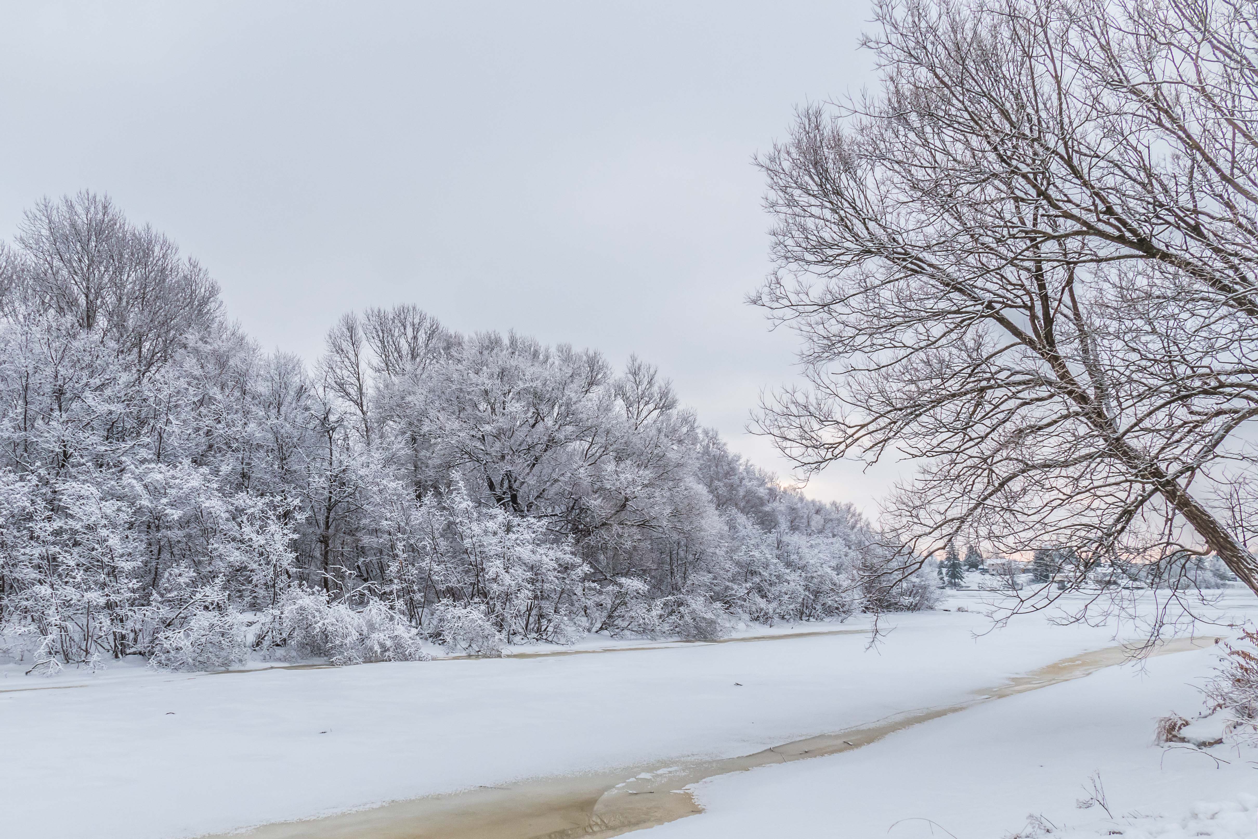
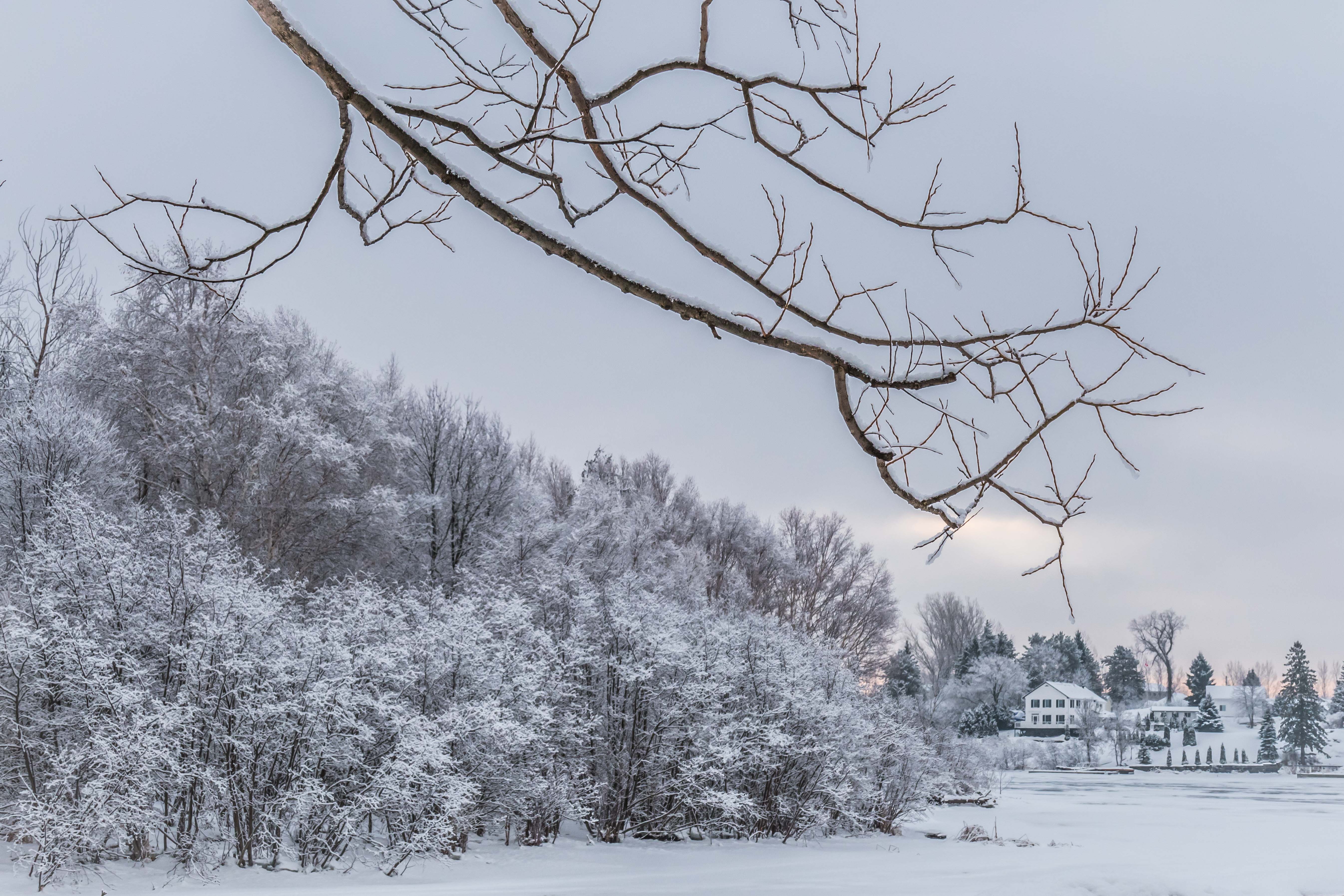
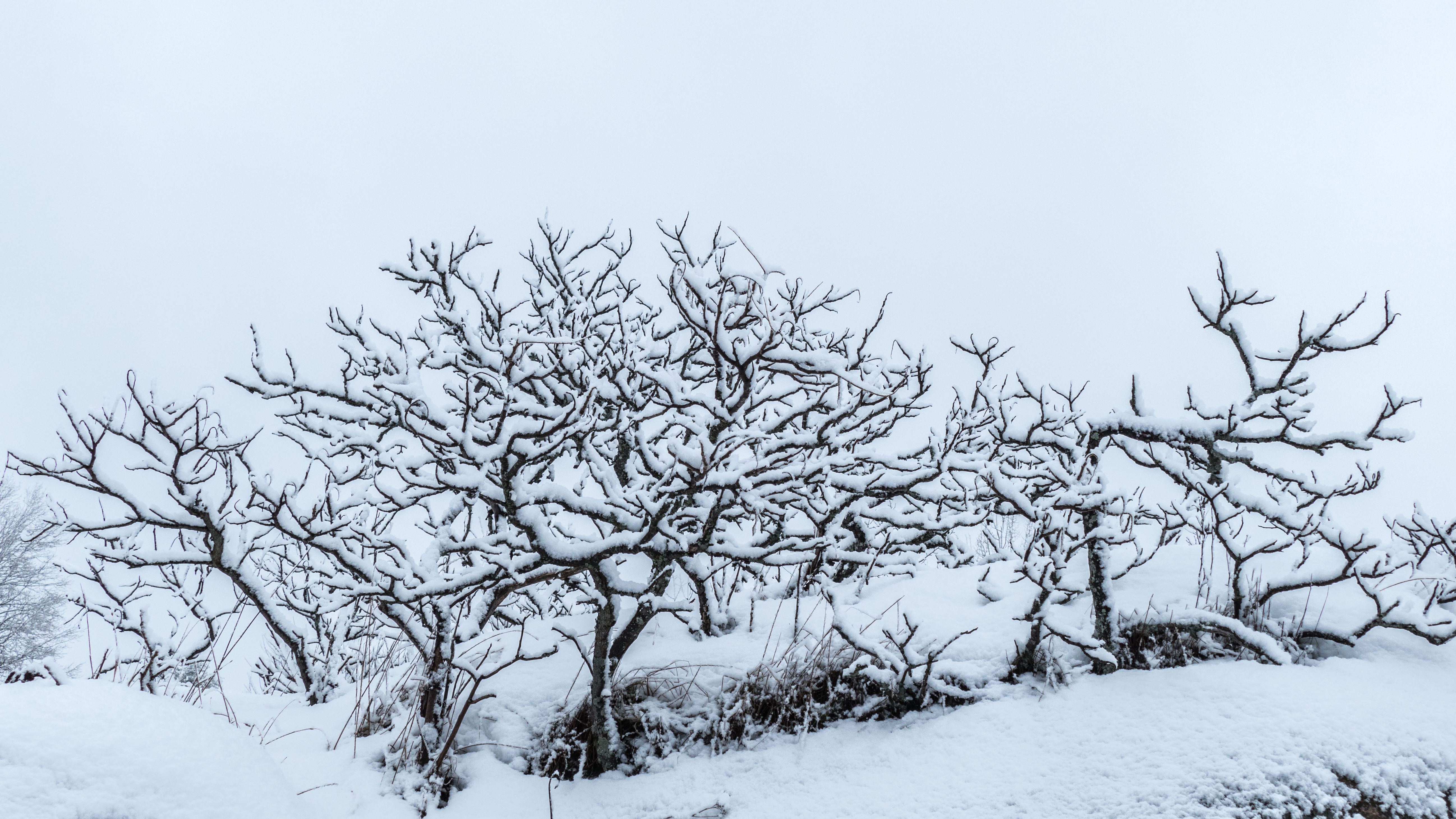
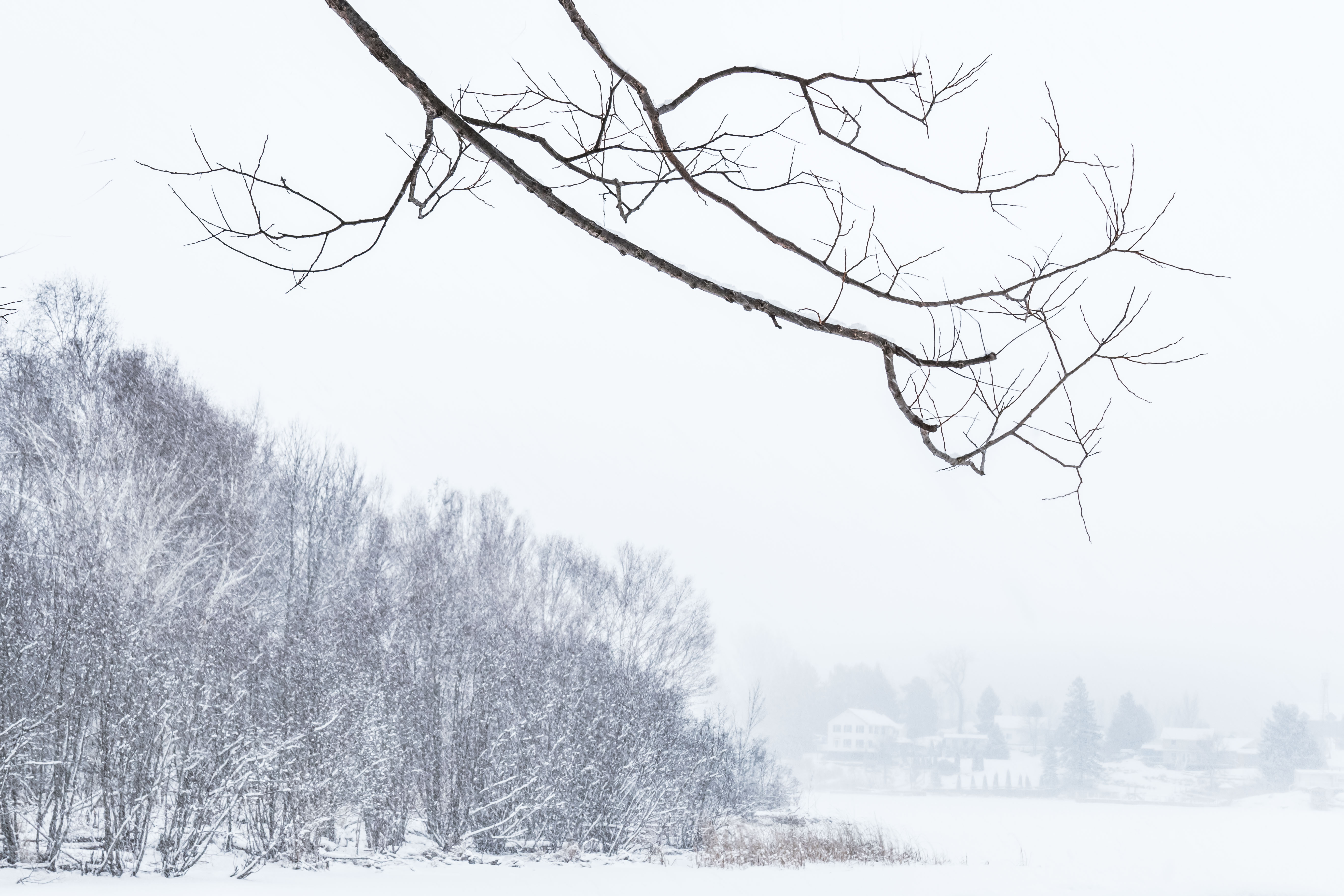
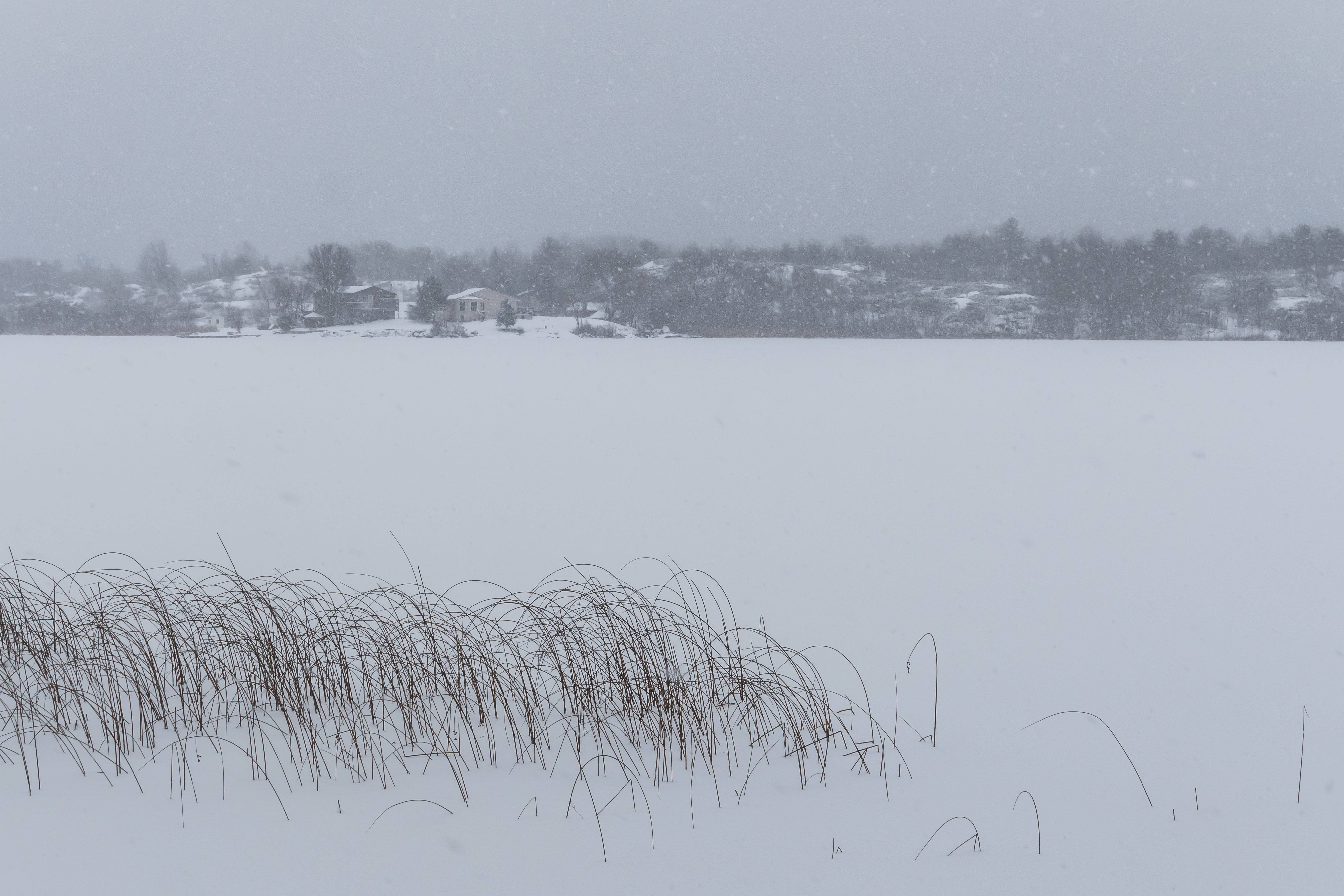
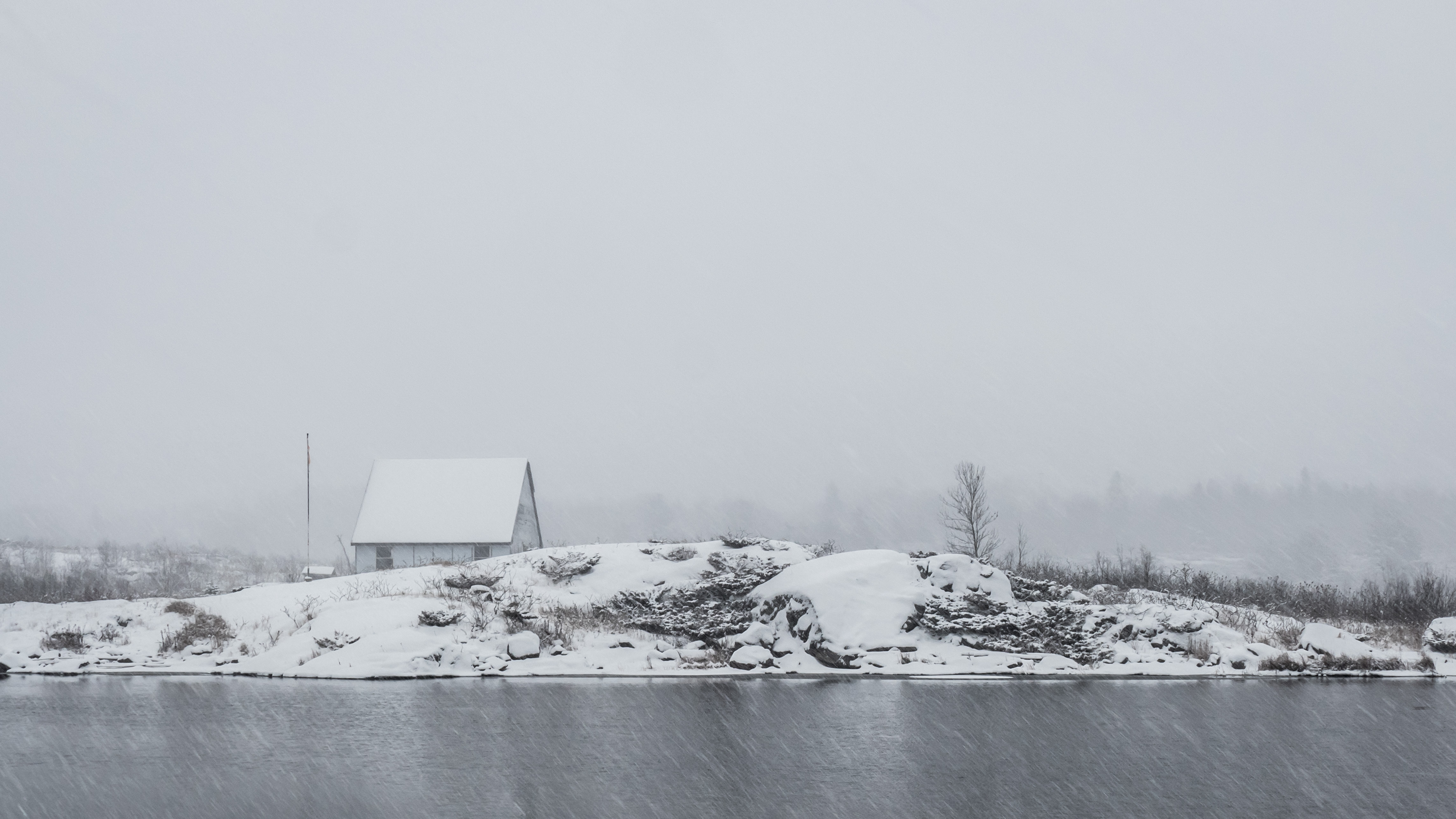
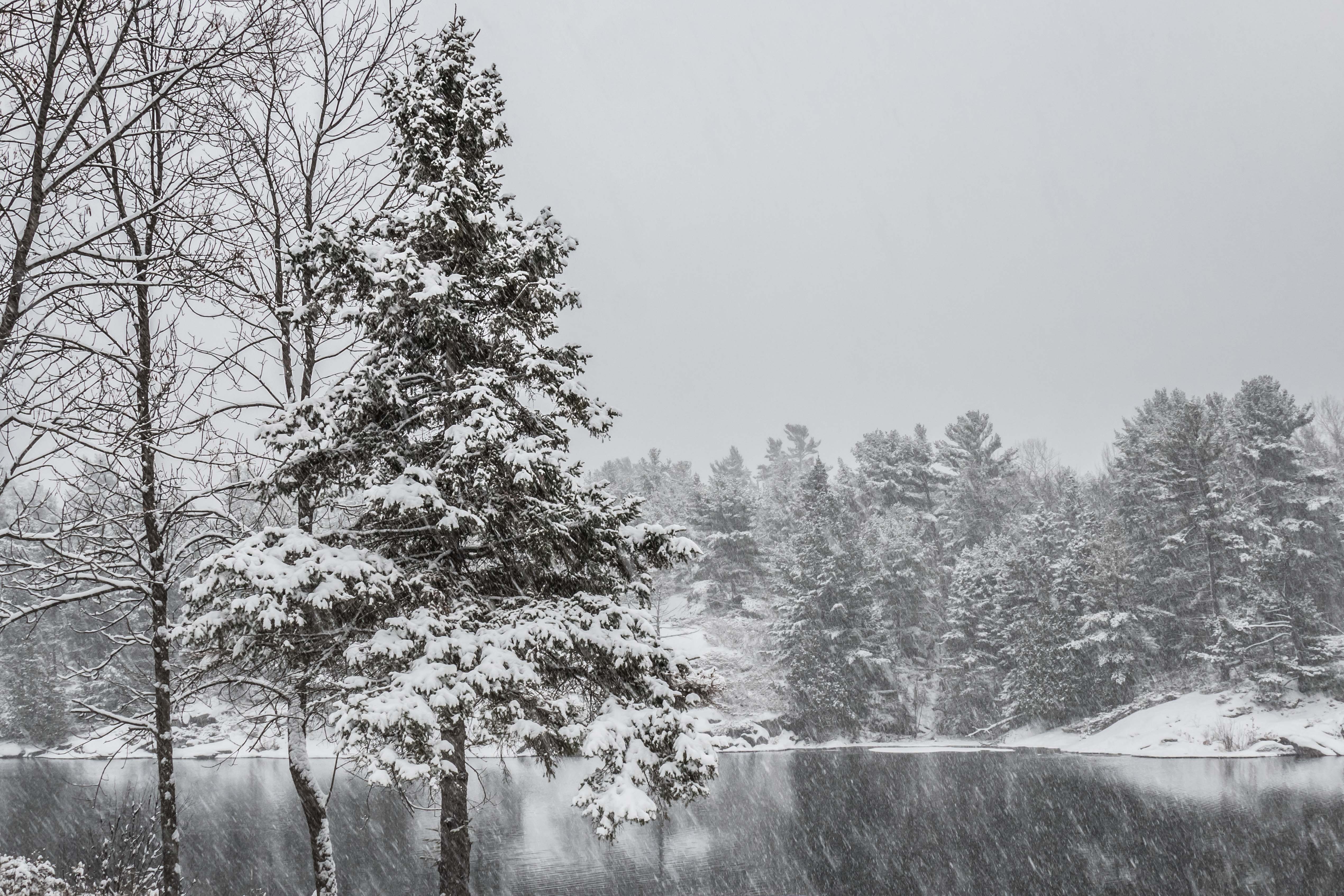
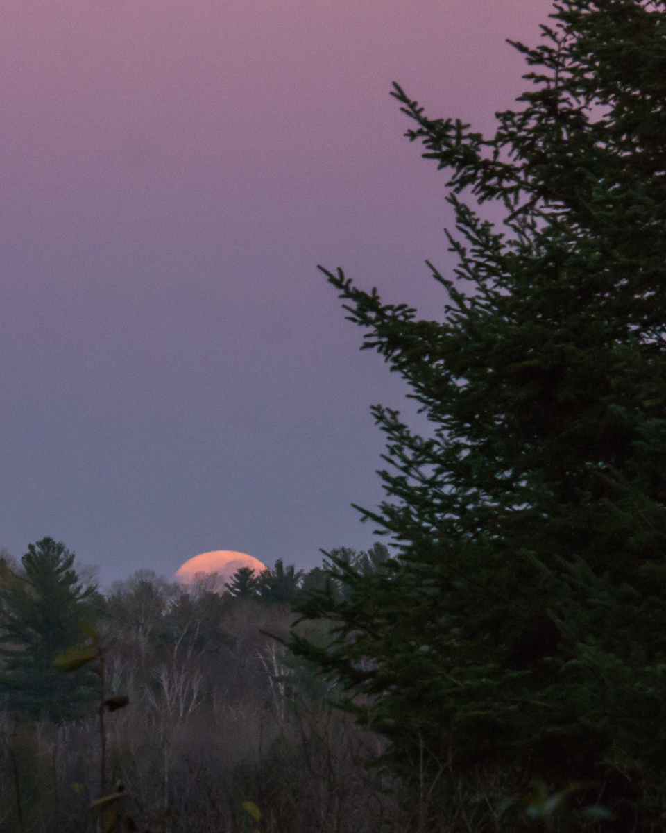
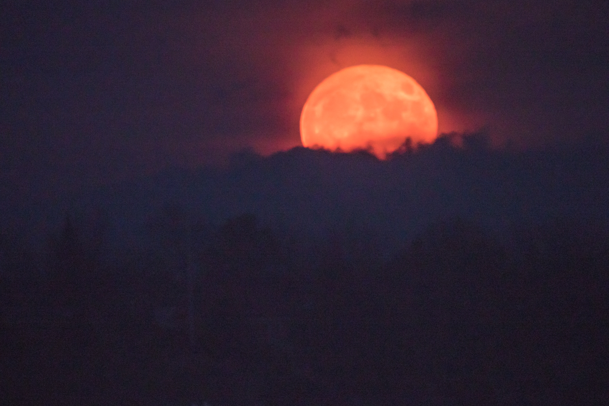
We have had some enjoyable late fall weather, including some snow, rain, wind and calm.  Here are examples of what we saw over the last few days:

The last of the Mallards are passing through…

p1460909-1

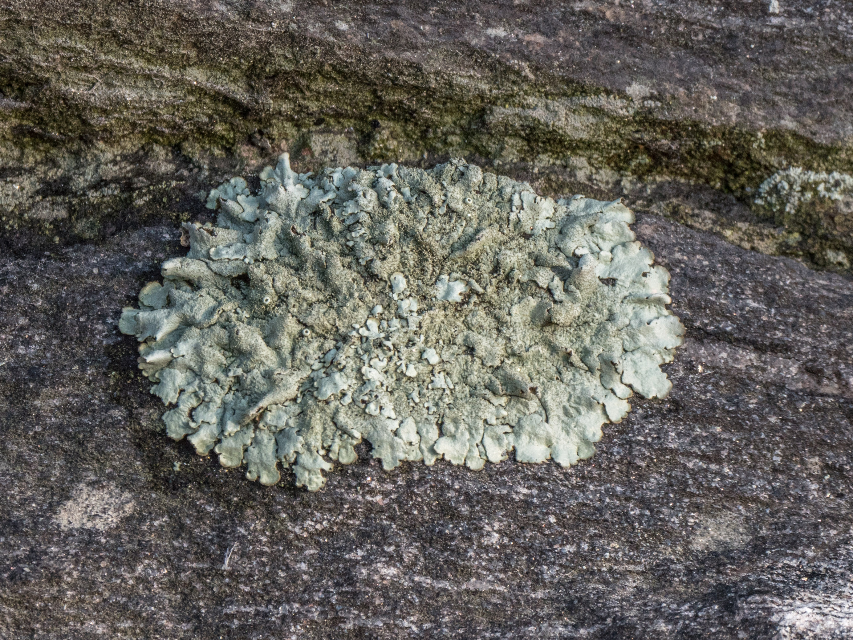
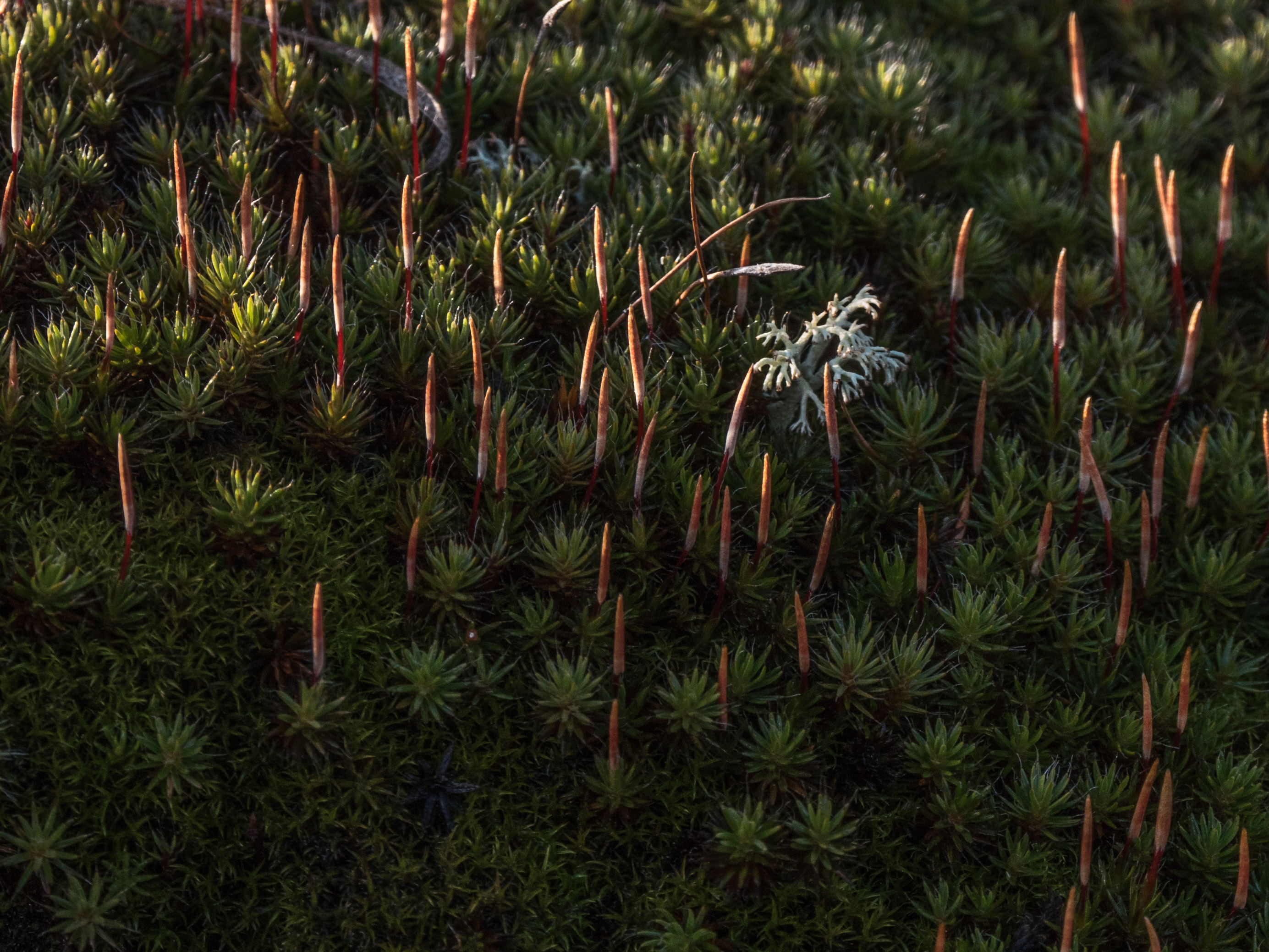
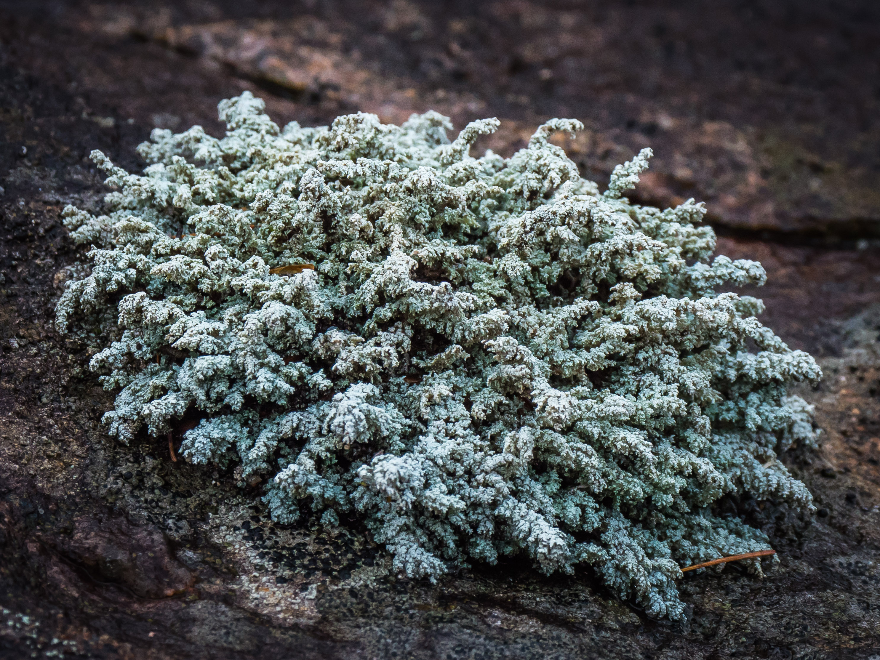
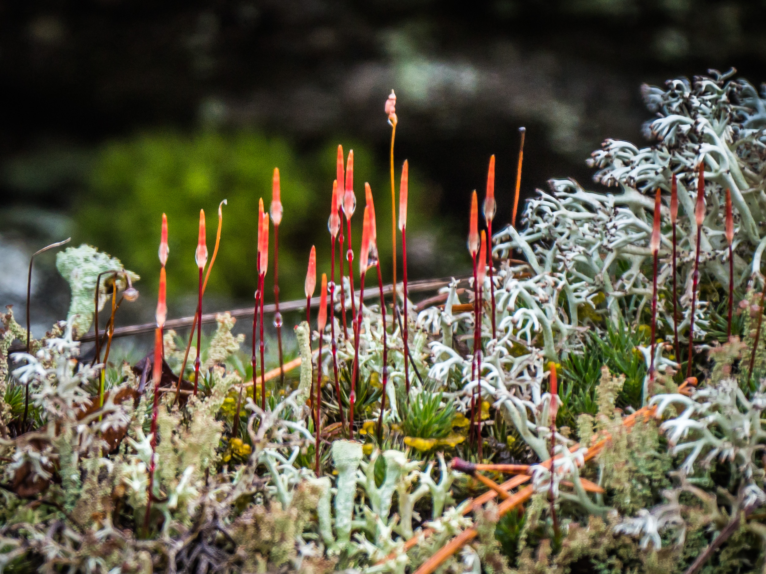
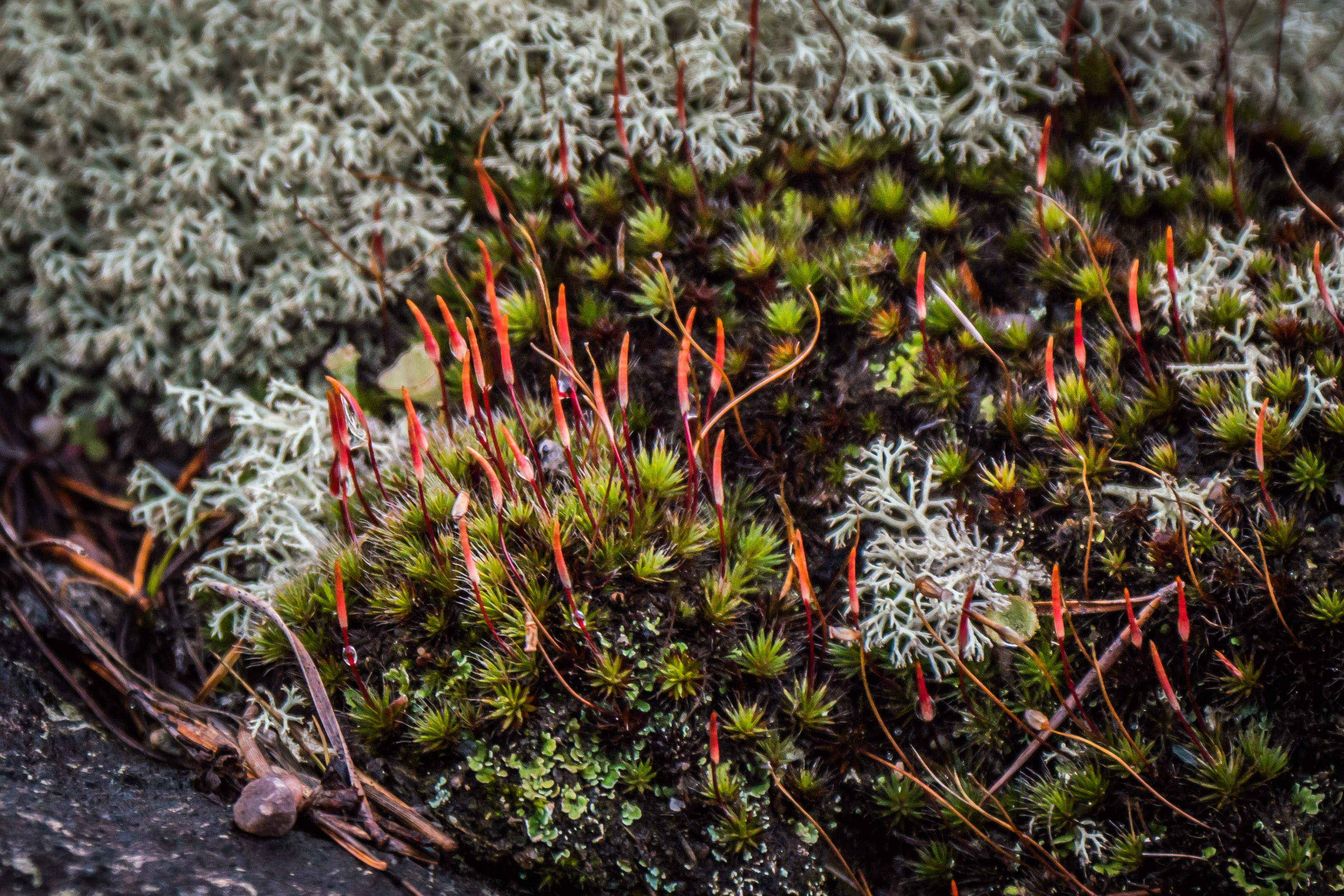
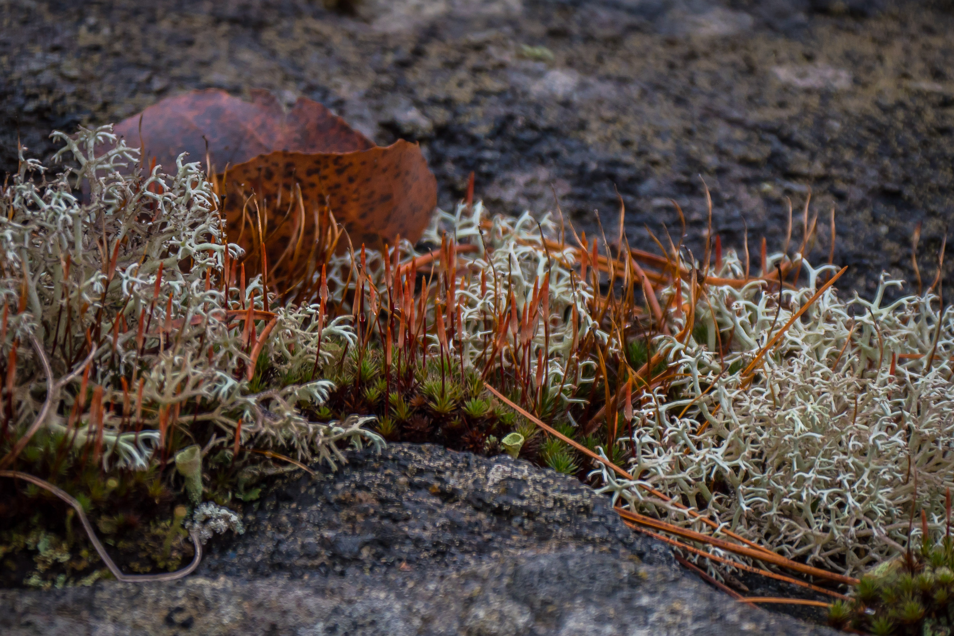
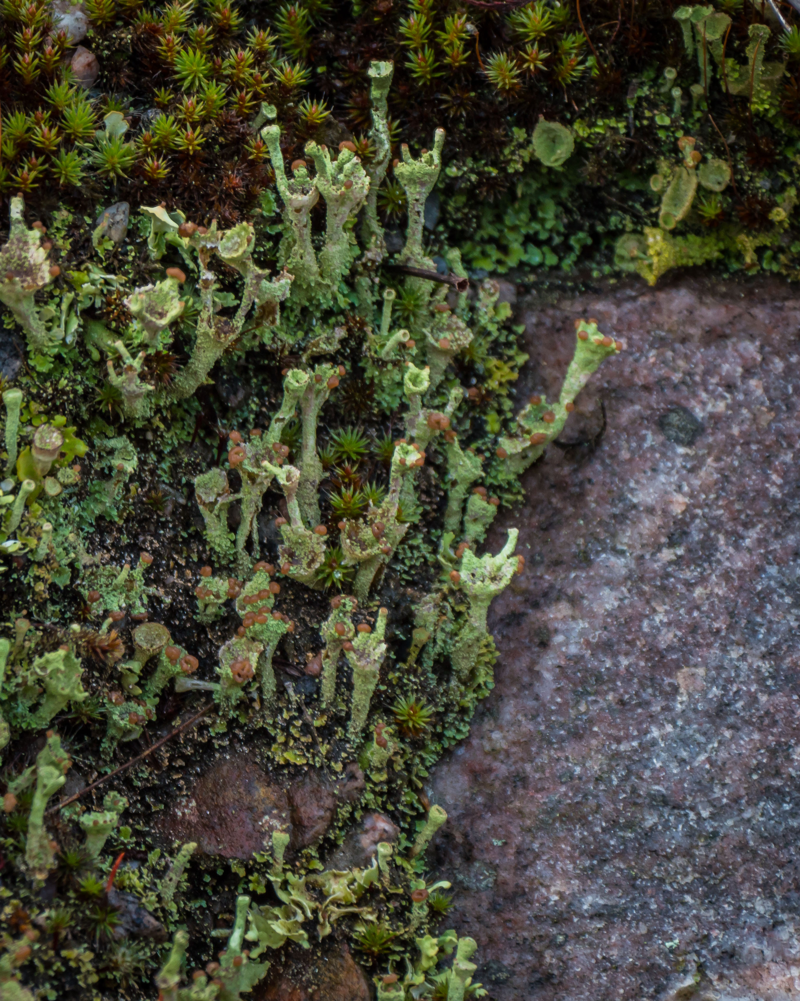
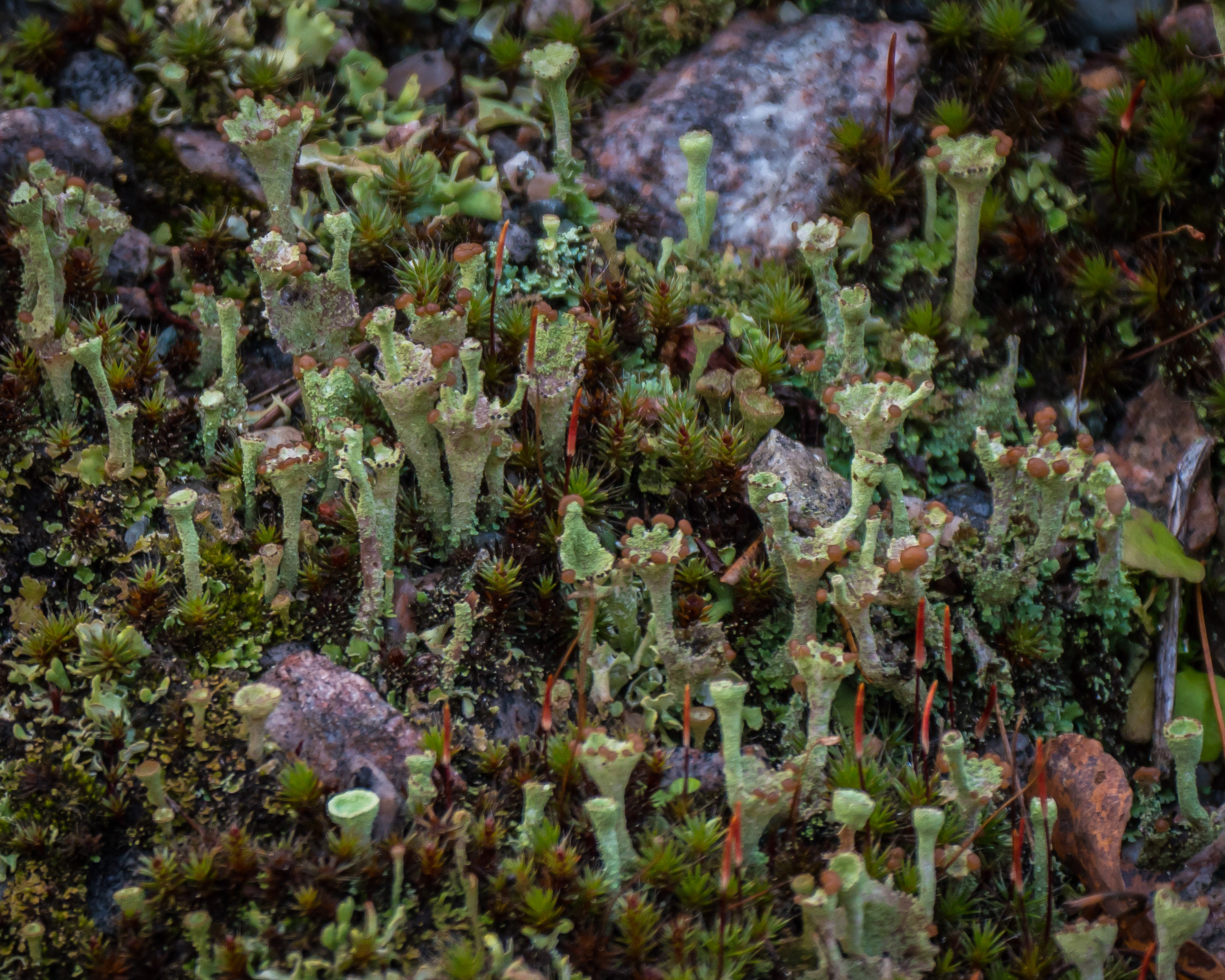
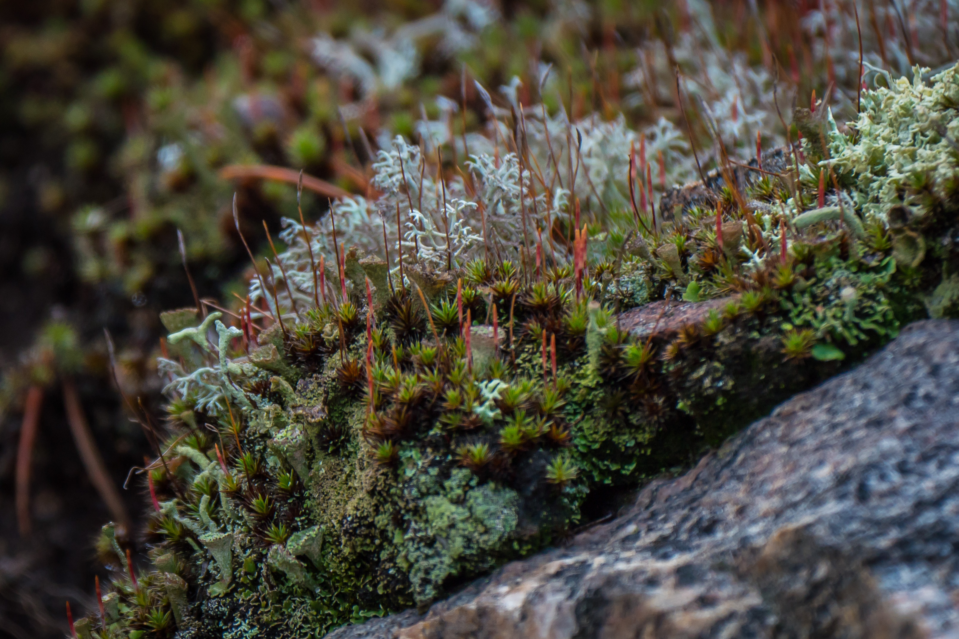
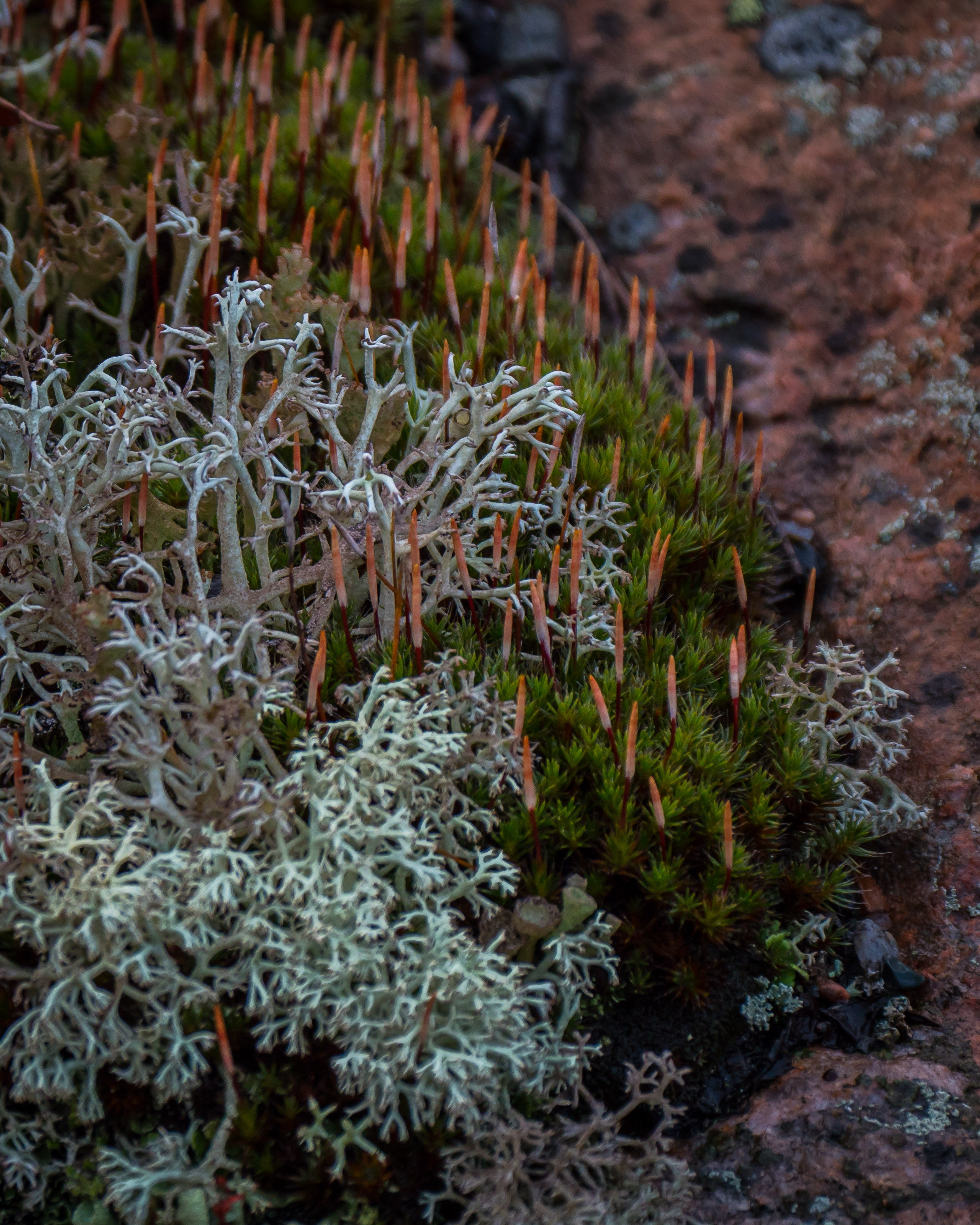
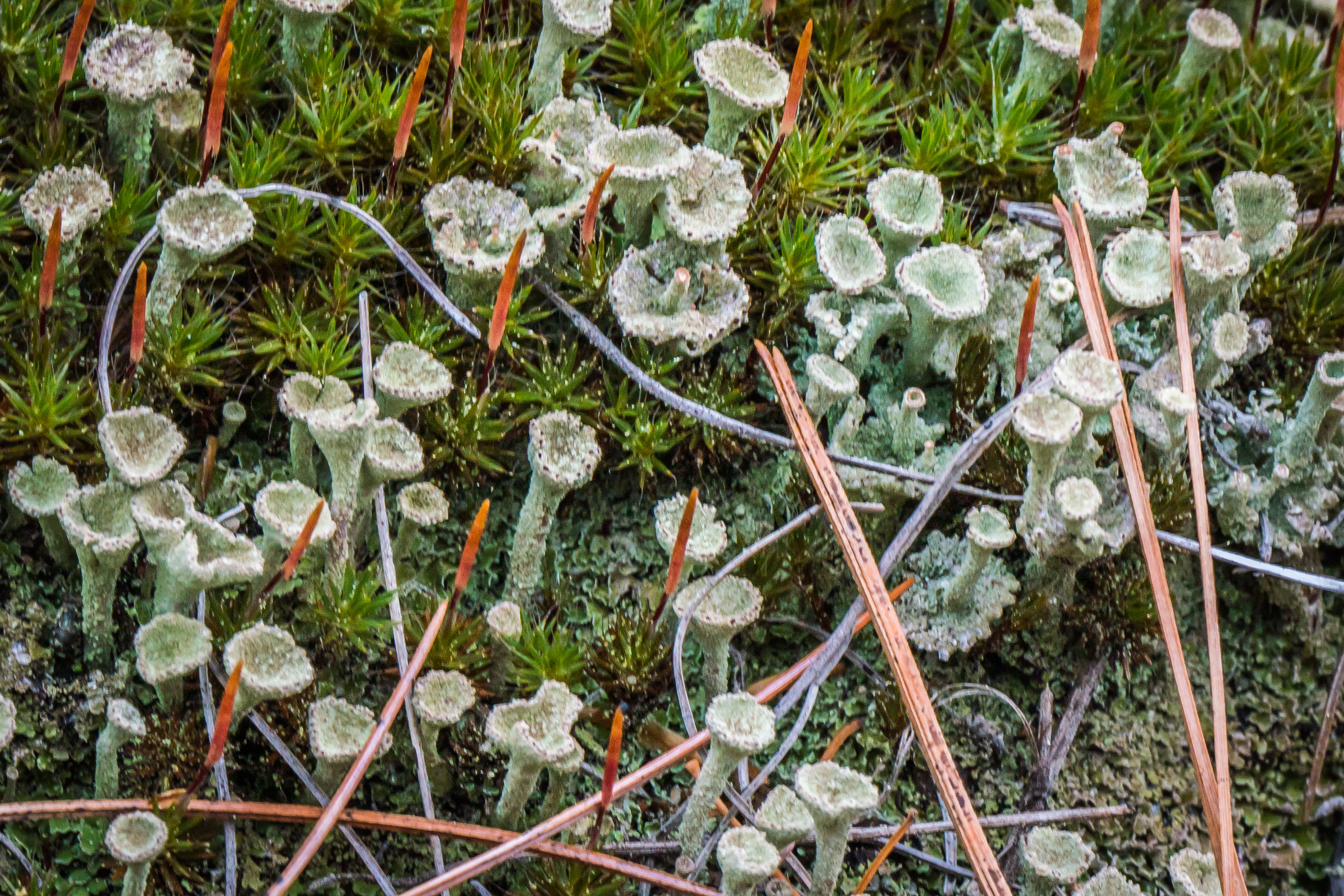
I found it surprising that the spore capsules of this moss are emerging at this time of the year.   Moss reproduction seems to be quite complex, a topic that I need to learn more about.  Interspersed are Pixie Cup lichens a relative (Cladonia) of British Soldiers.


p1460928-1

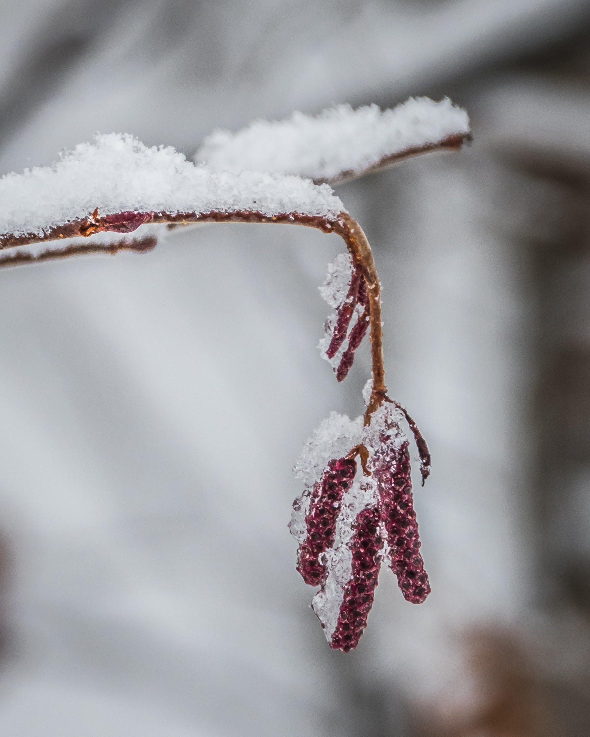
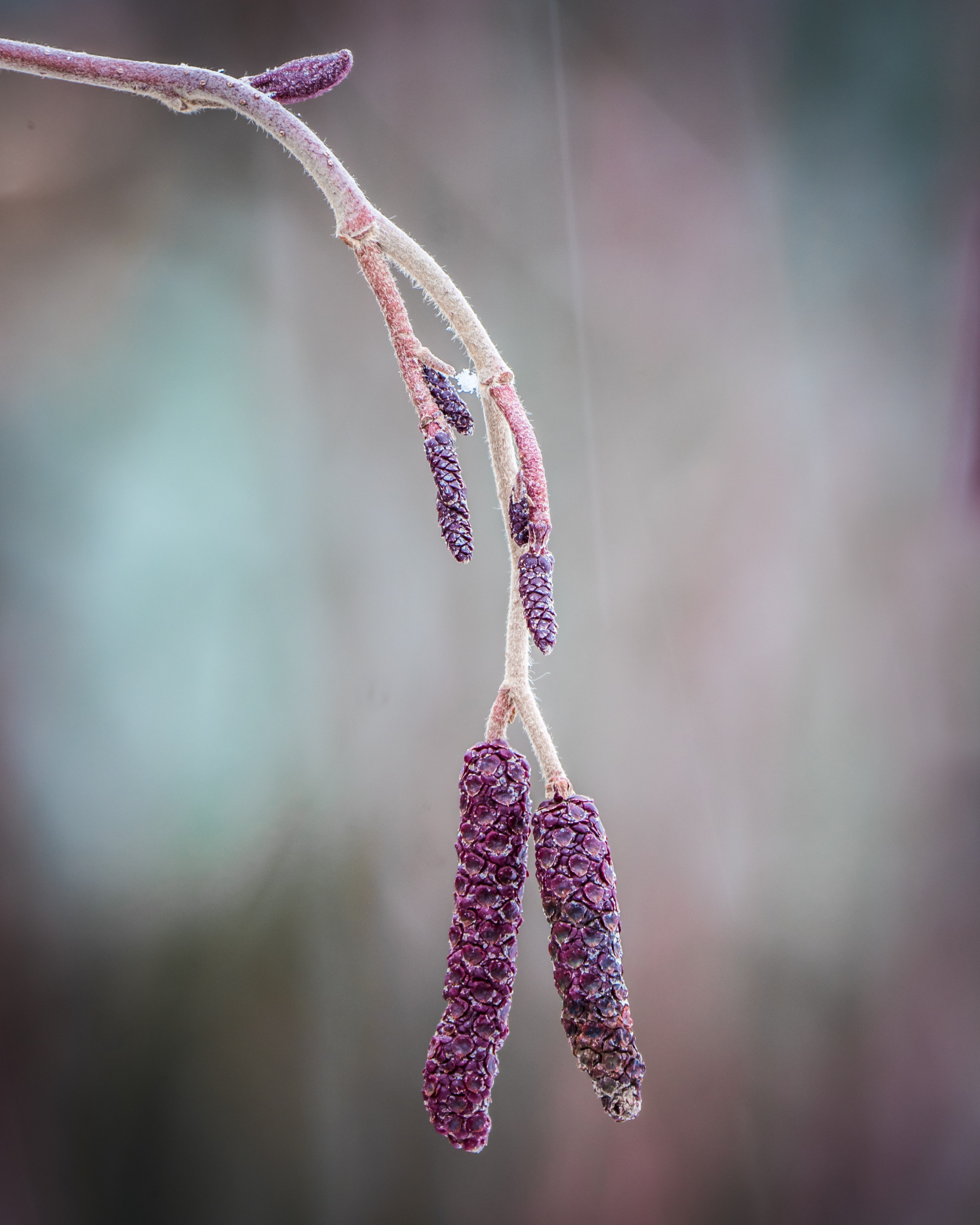
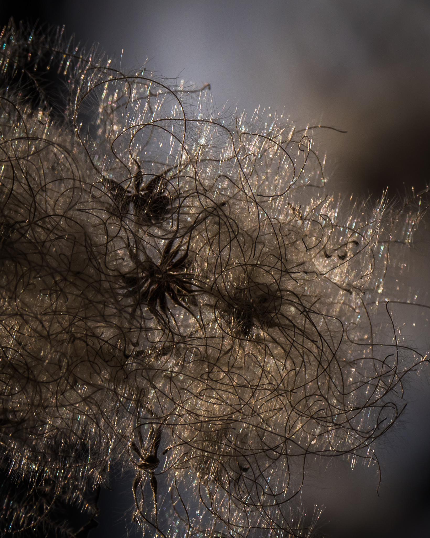
Tag (AKA Speckled, Hoary, Gray) Alder ( Alnus incana ) catkin:

Alders have two catkins (male and female) that form in the autumn, are dormant over winter and the  female is wind pollinated with pollen from the male catkin in spring.    Here two male catkin are hanging down on long stems.  The others may be female catkins.  I will have to observe further…..


p1470002-1

The butterflies whose caterpillars supped on the leaves of this plant are now in Mexico.   A big bunch of them arrived at El Rosario Sanctuary on Nov 2, 2016:

p1470063-1

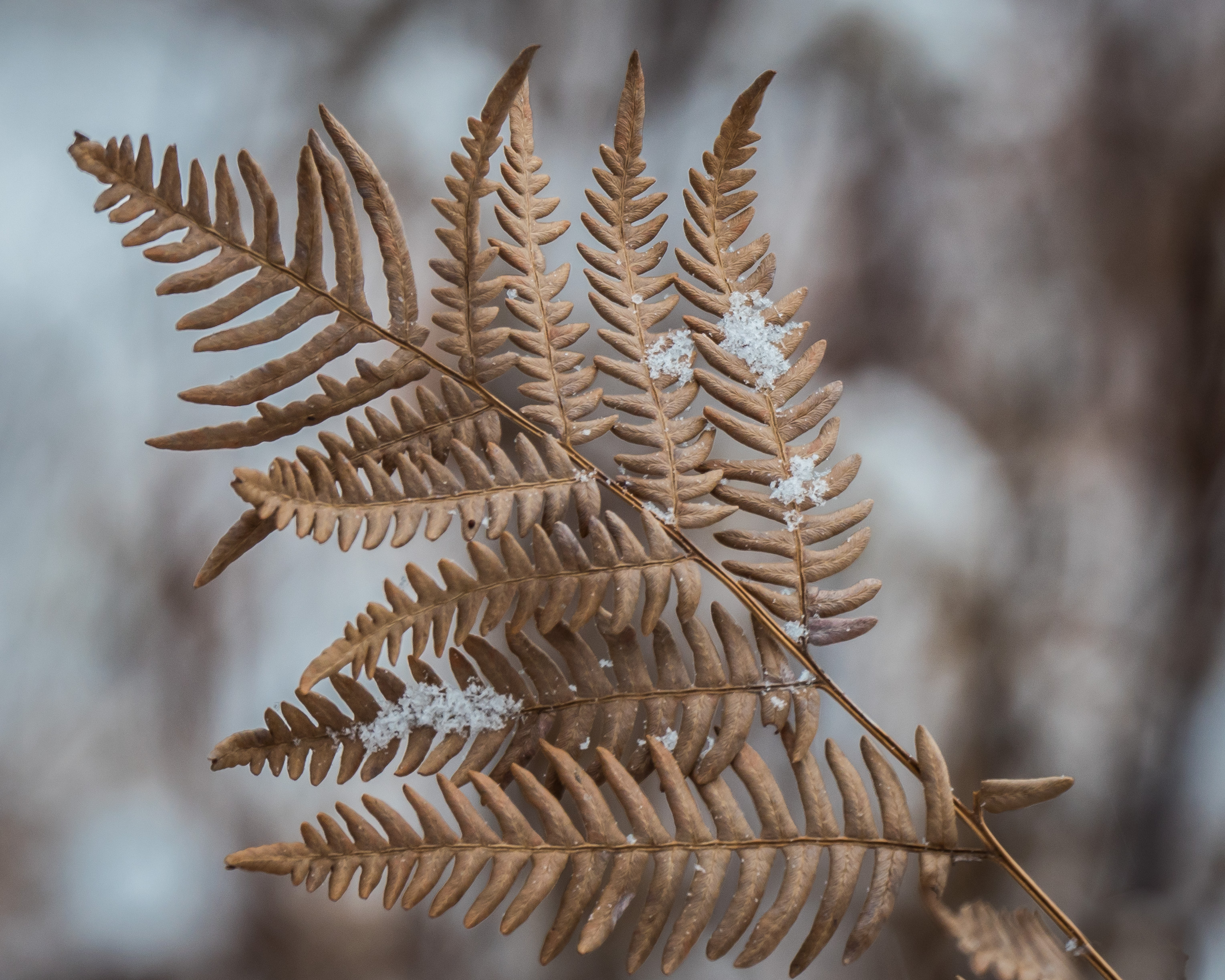
Perhaps one of the woodferns that dried out and died.  Most woodferns that I know are evergreens.

p1470098-1

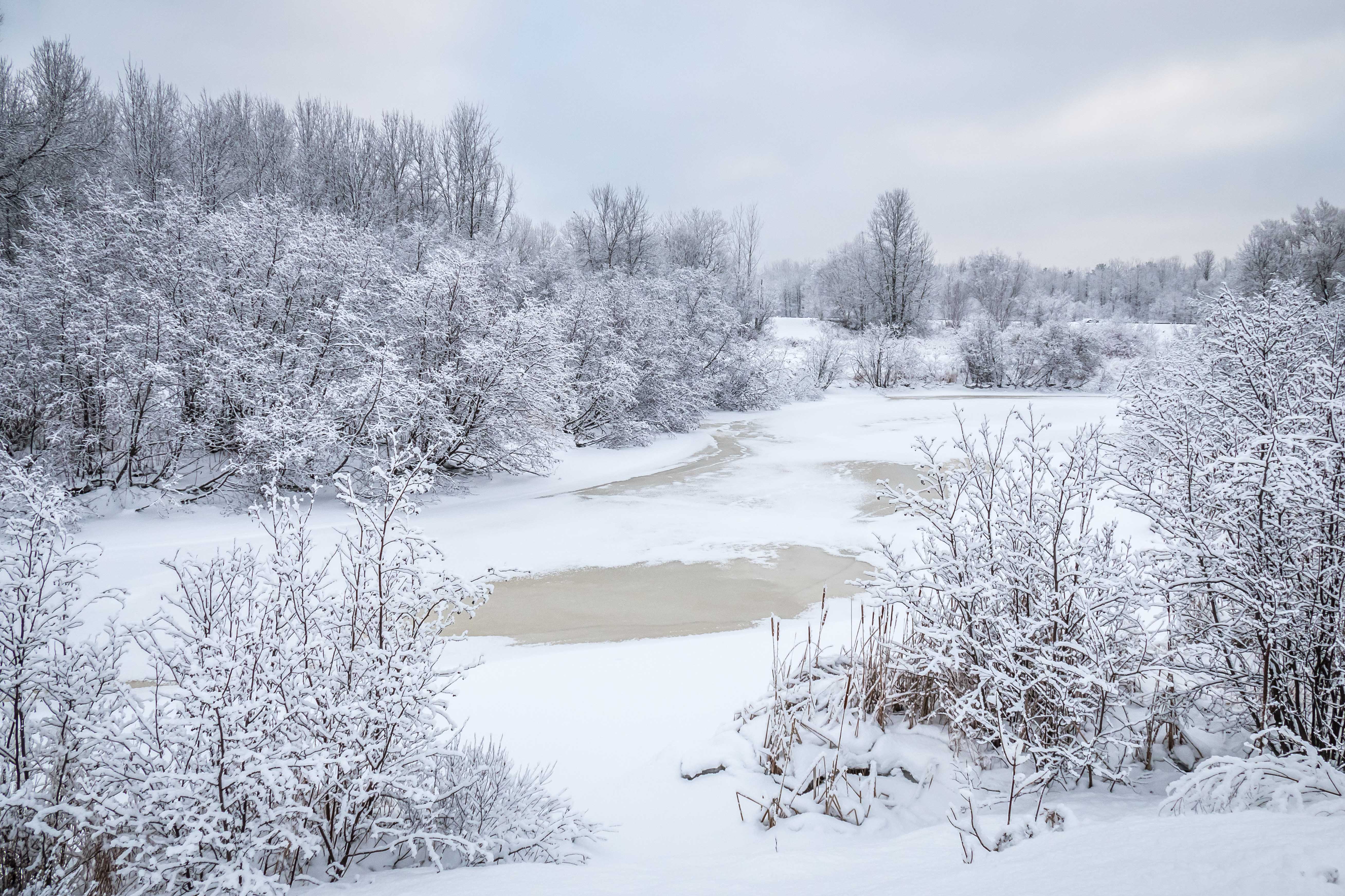
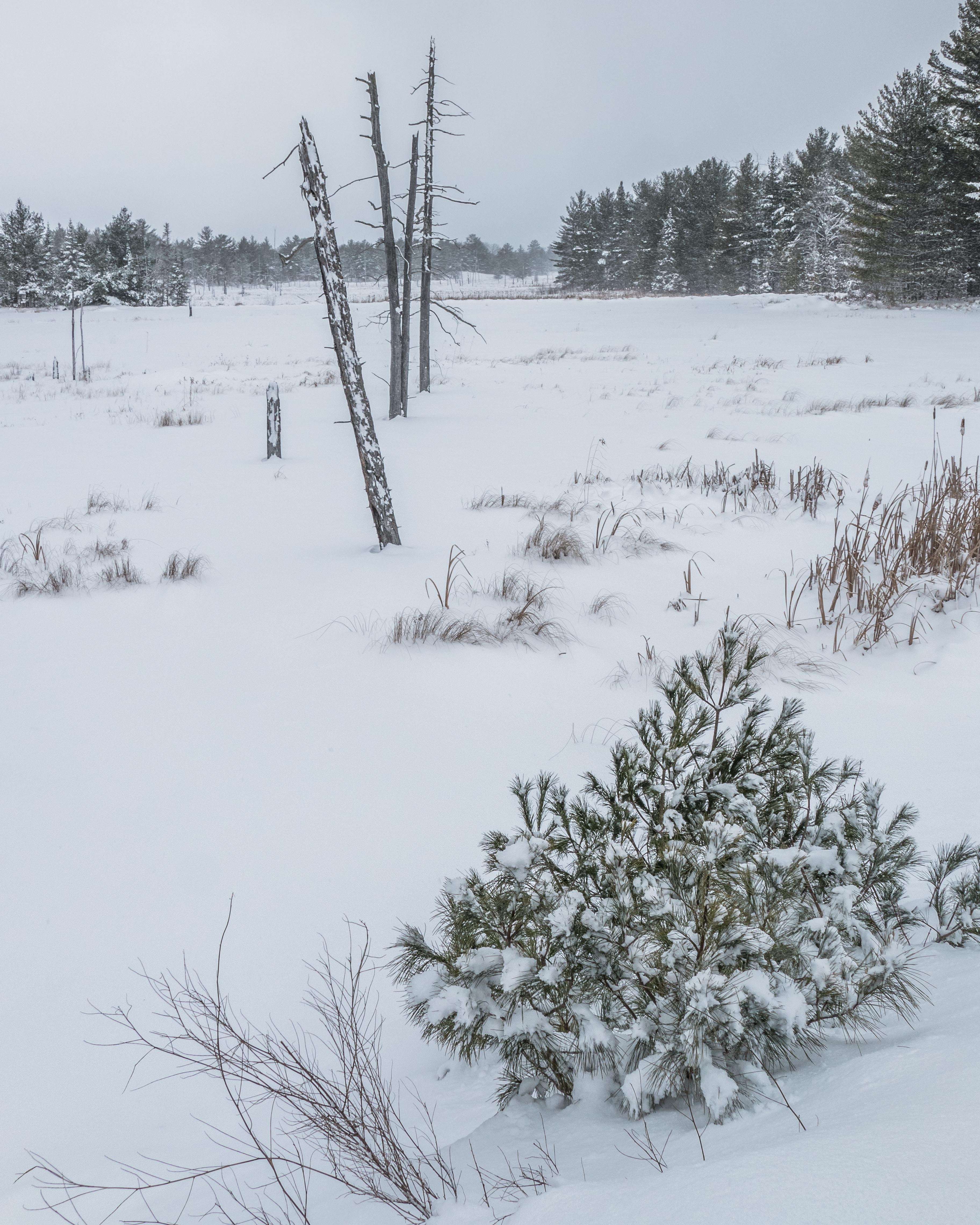
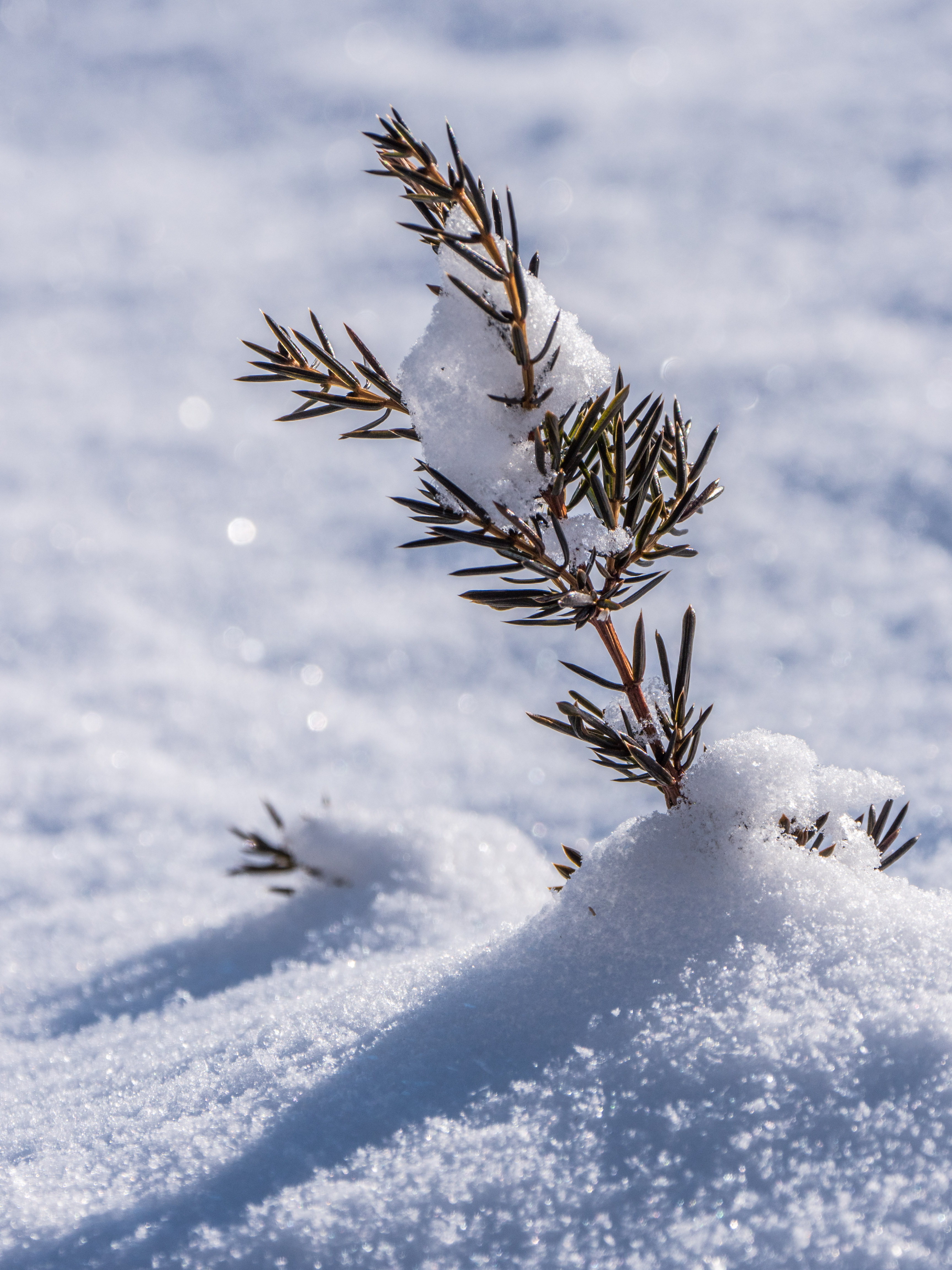
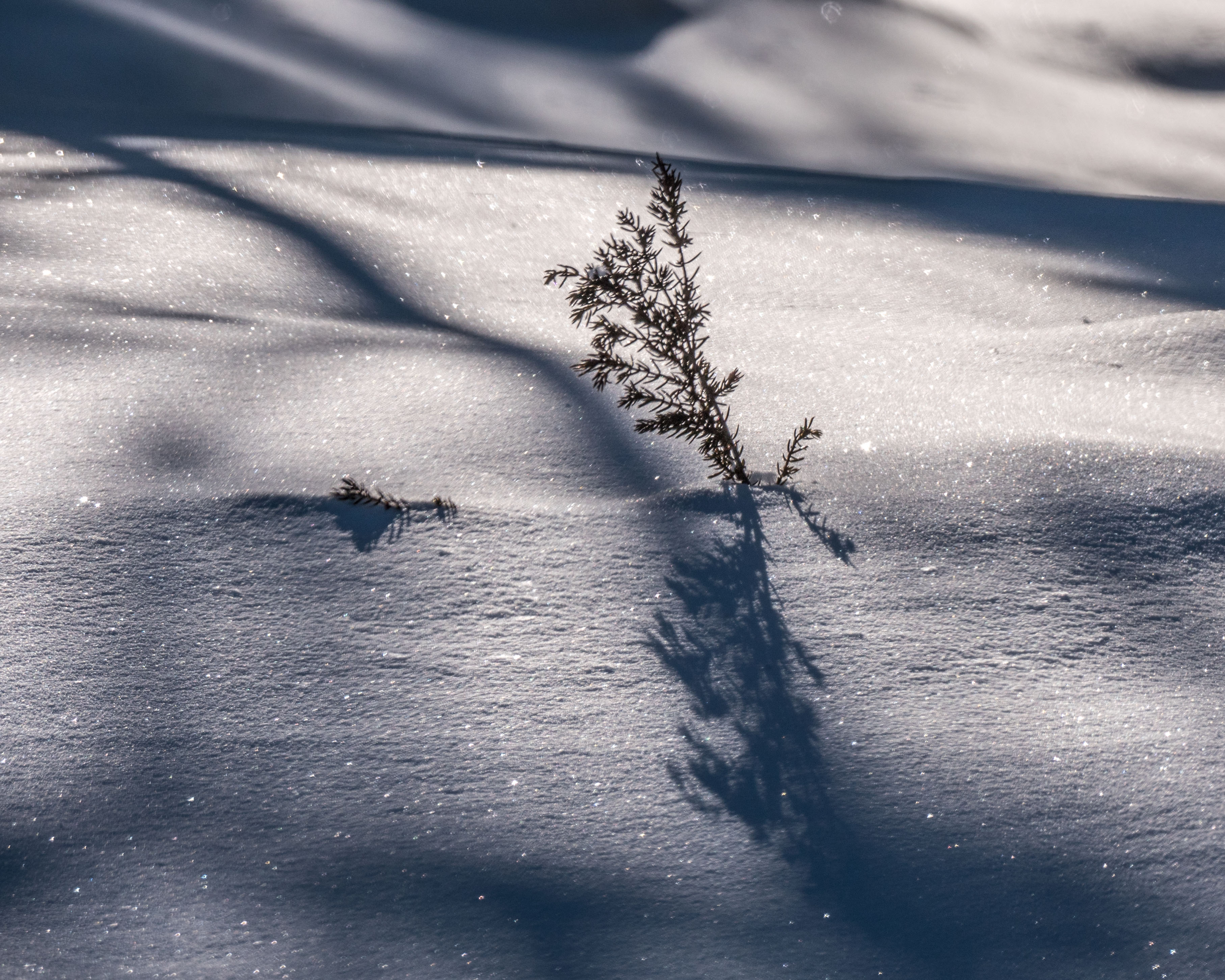
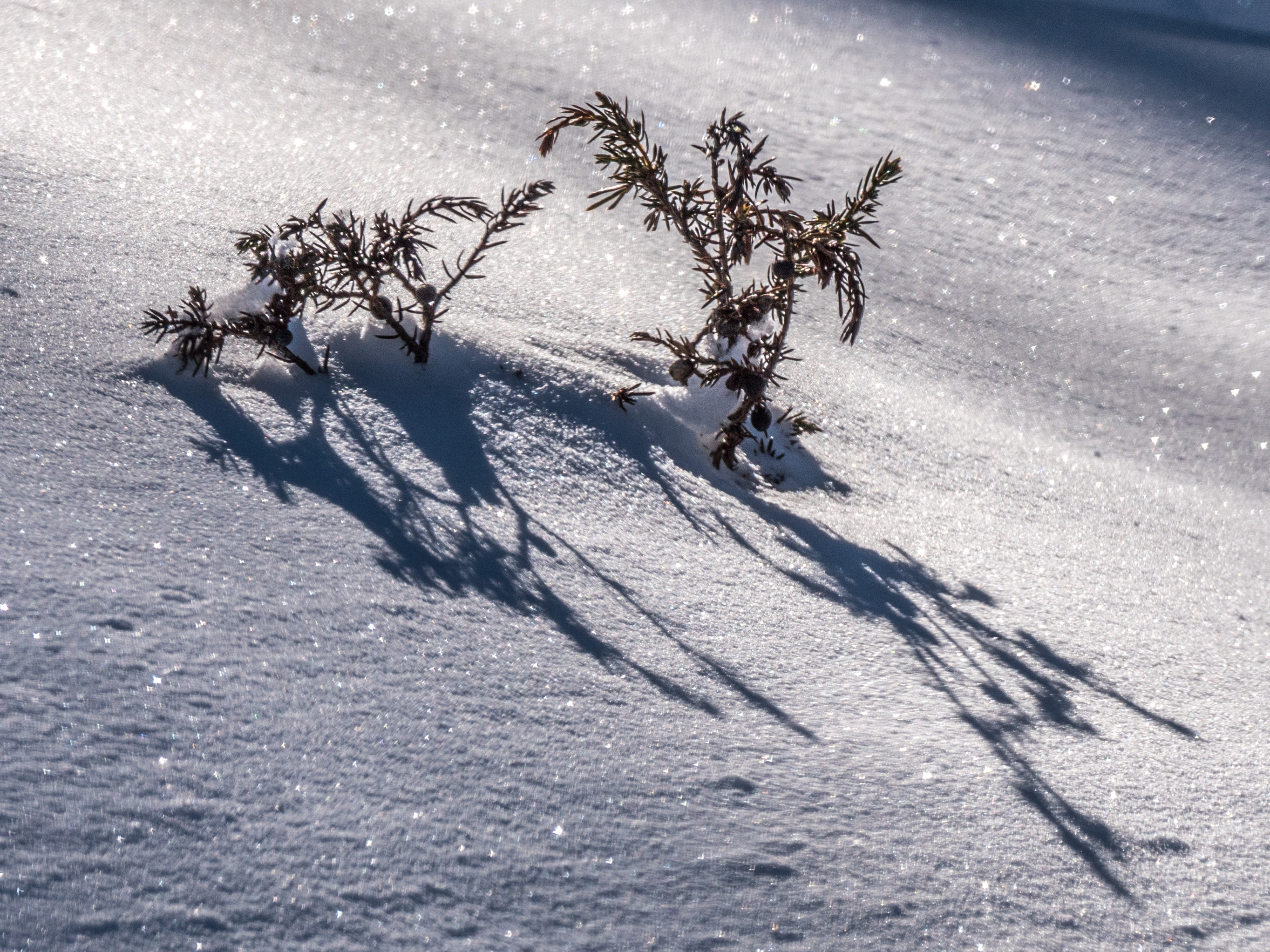
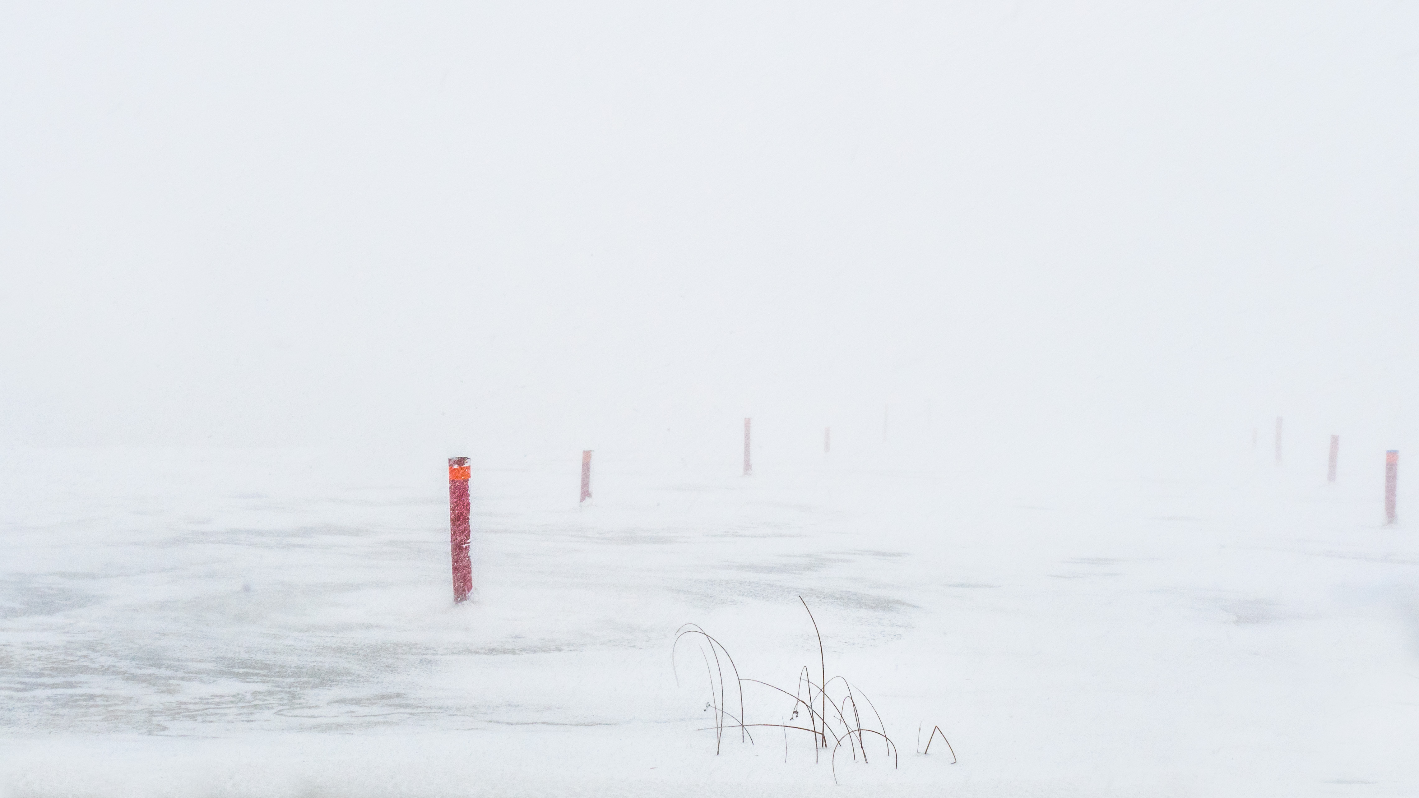
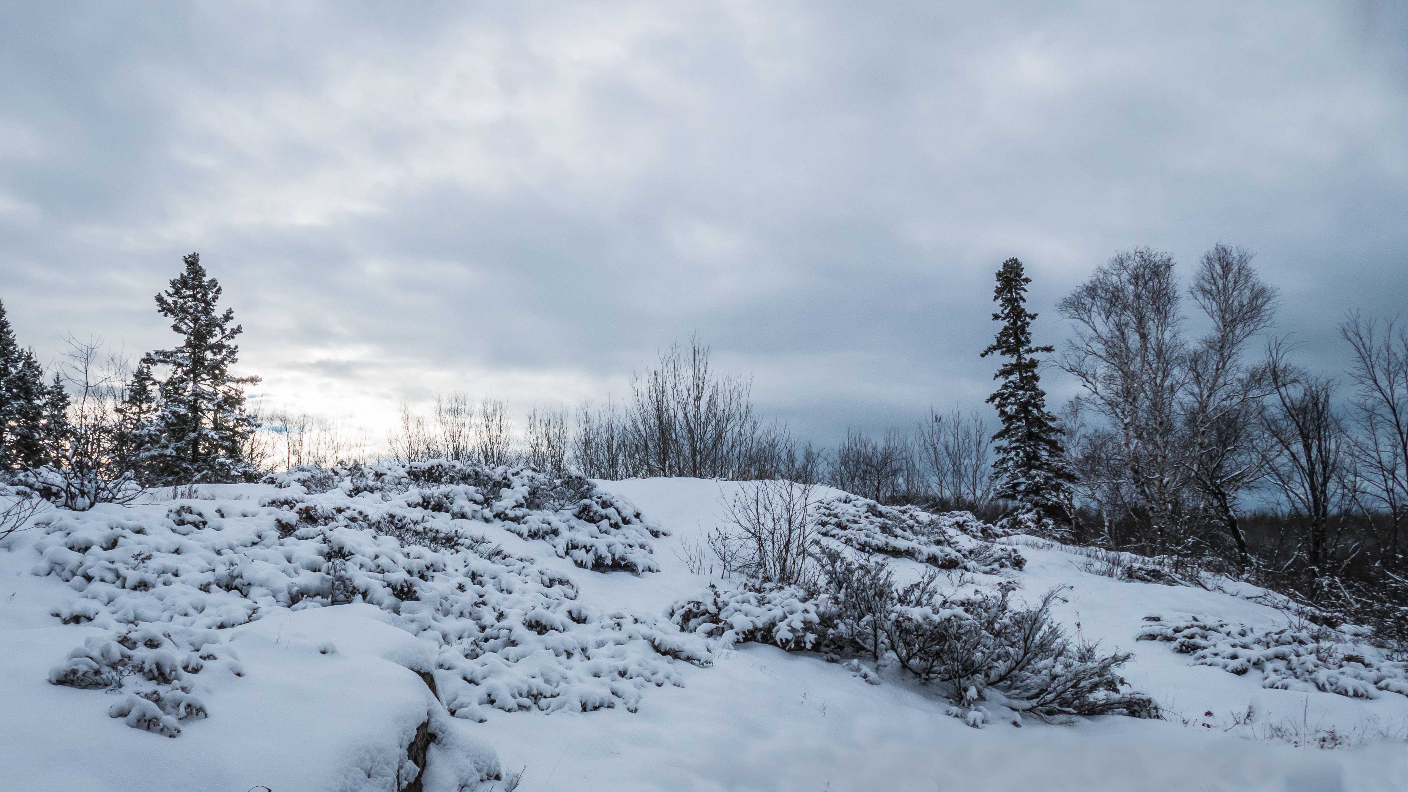
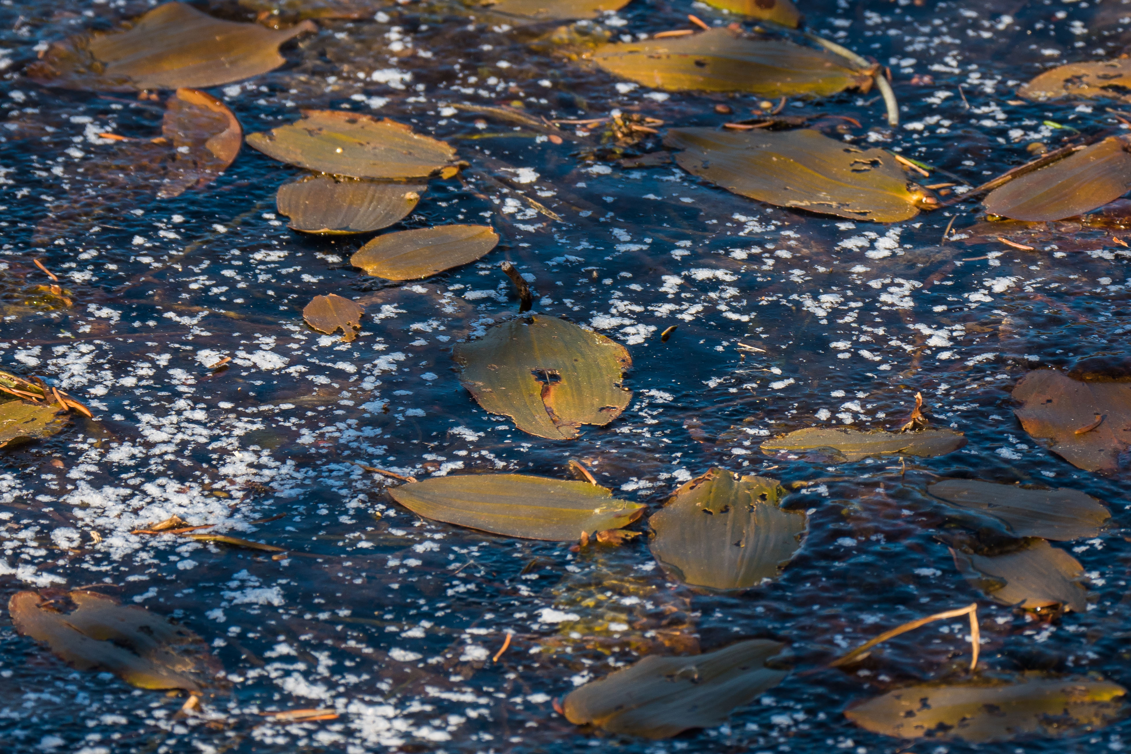
Another milkweed caught in the act of dispersing its seeds during a snow flurry….

p1470217-1-2

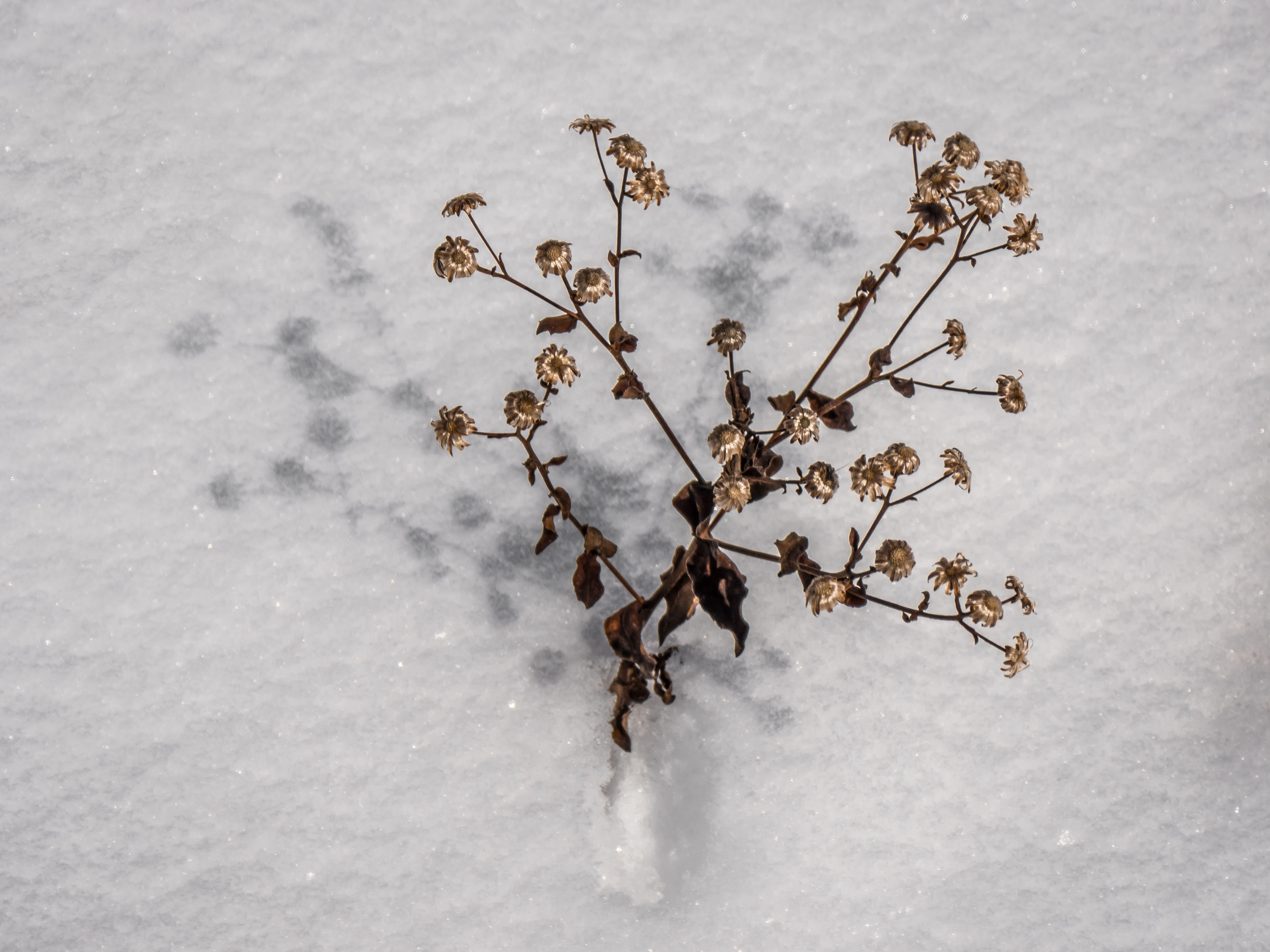
One of the fall asters against the textured snow ….

p1470224-1

This has been happening with increasing regularity, apparently due to aging equipment that is failing.

p1470235-1

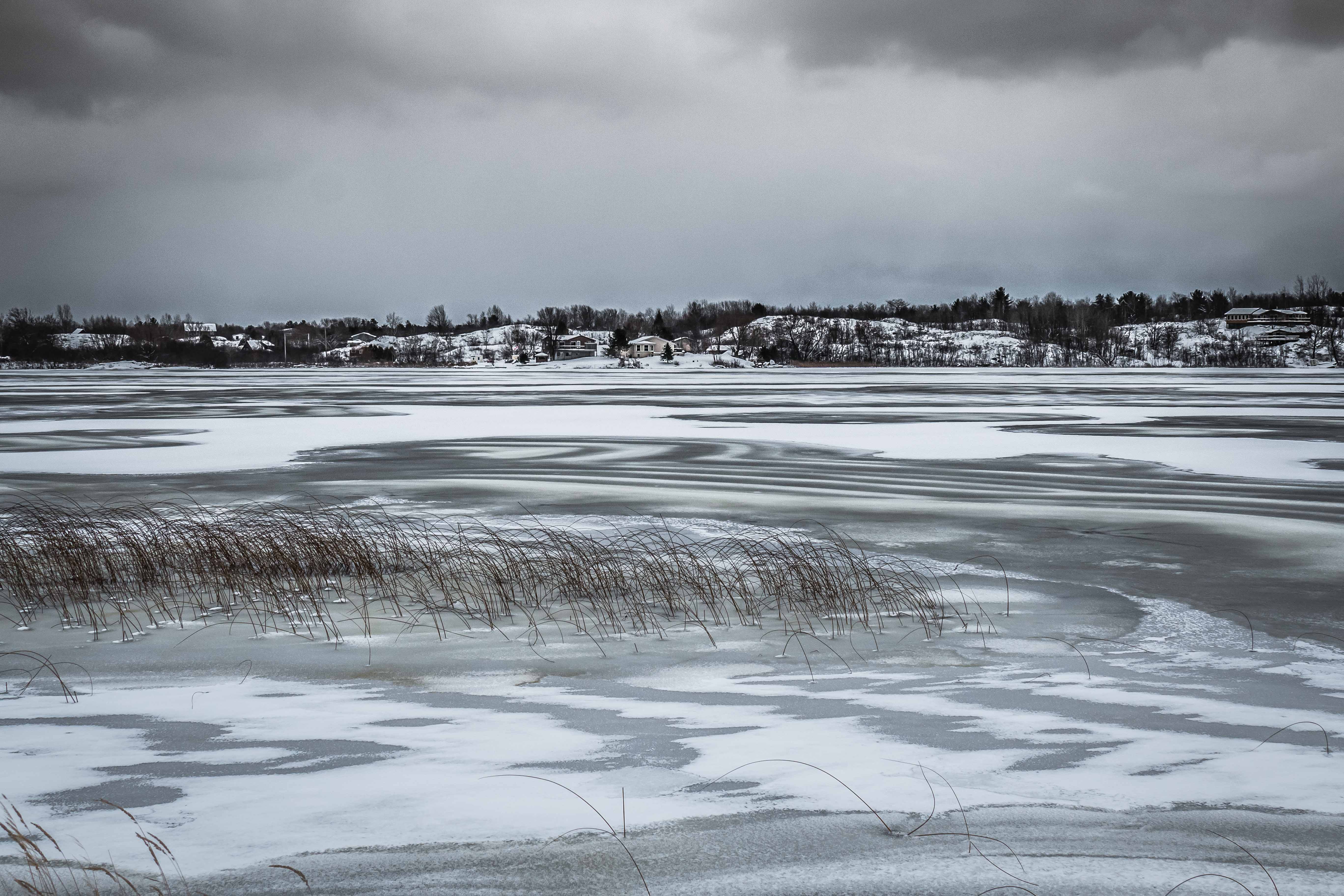
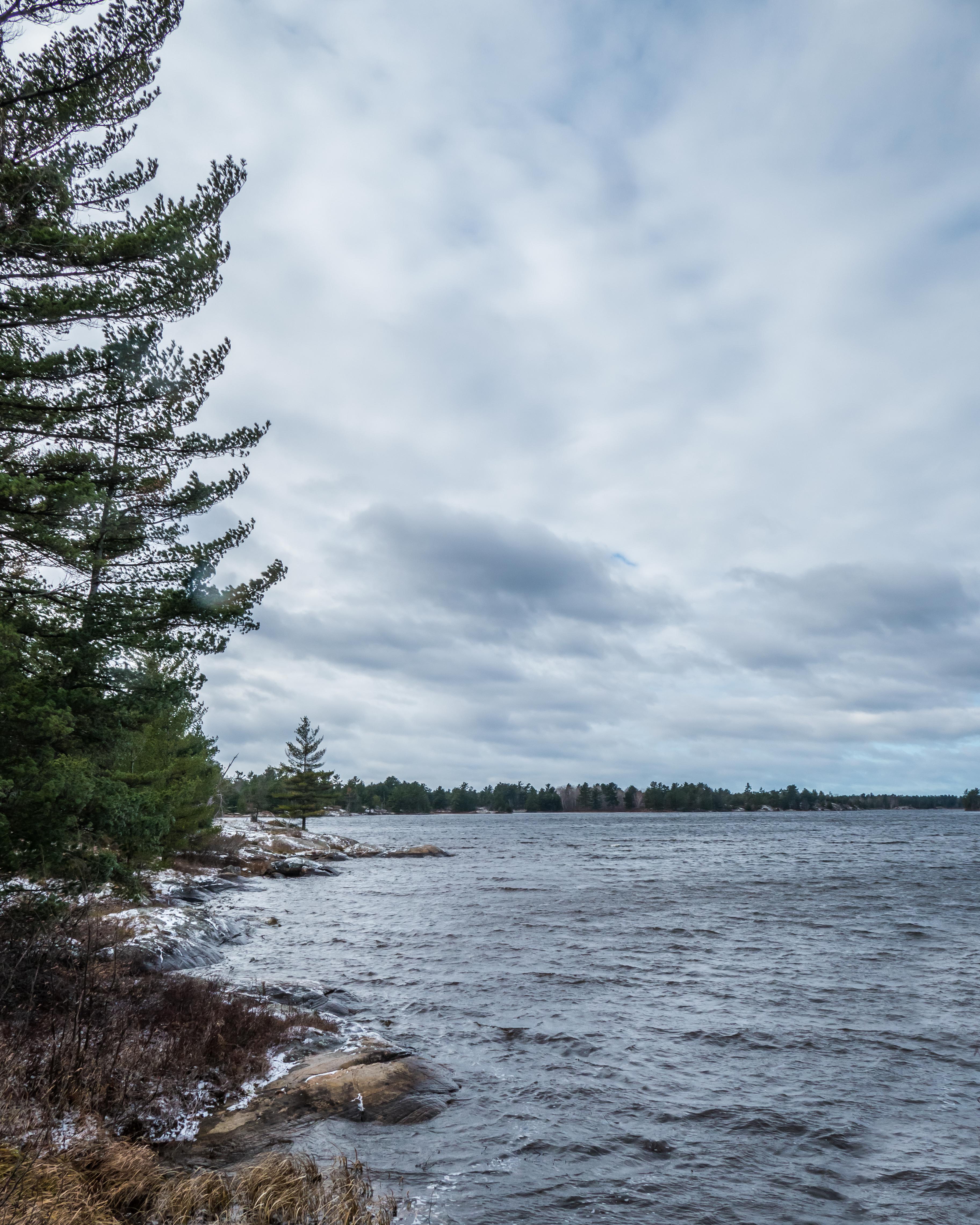
Big Lake is getting its first covering of ice, indicating that the water temperature underneath the ice ranges from +4ºC to 0ºC.  The surface water temperature at the edge of the ice is 0ºC.  I don’t have long enough arms to measure the temperature of the water out in the middle of the lake.

p1810421-1

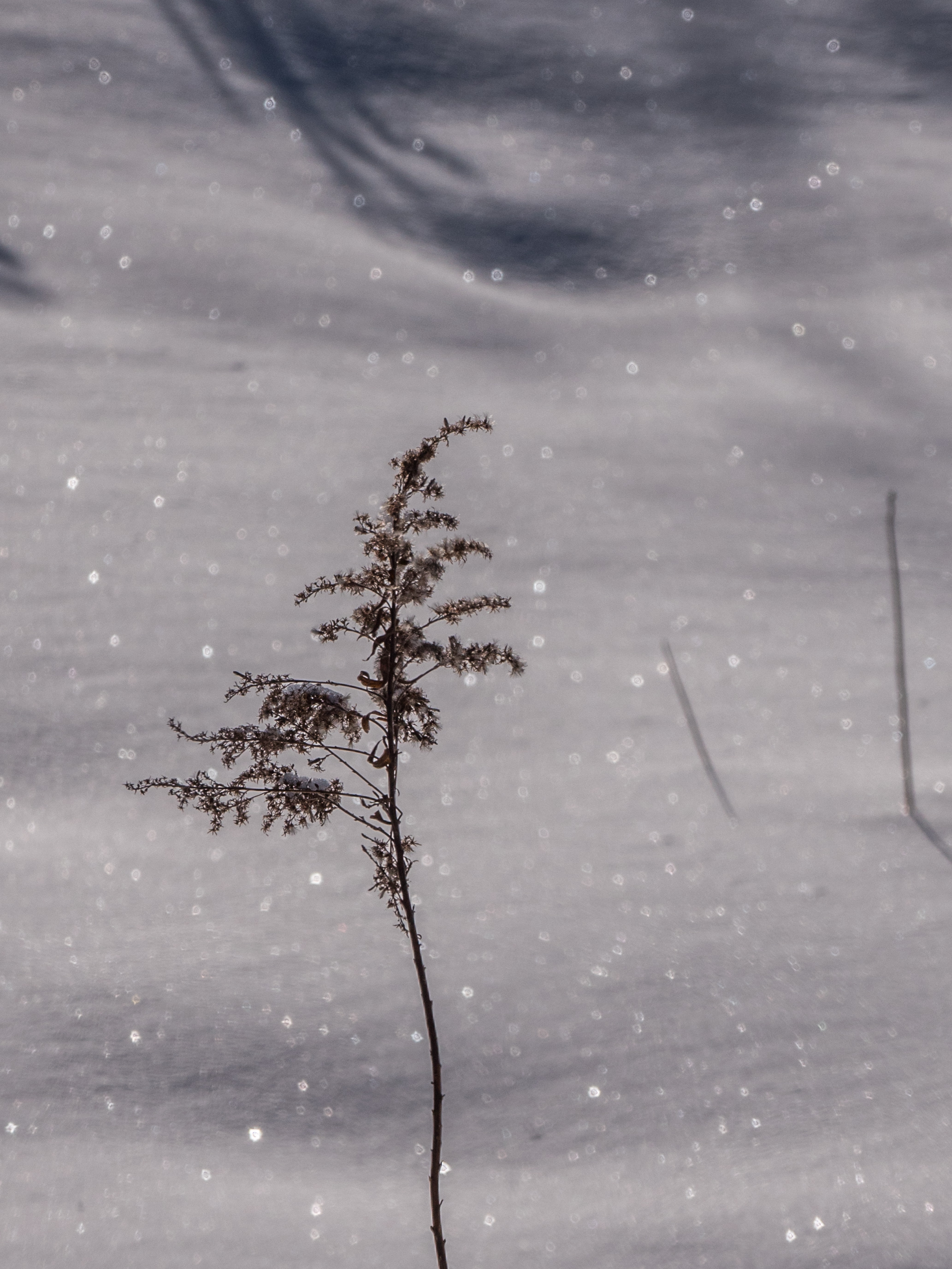
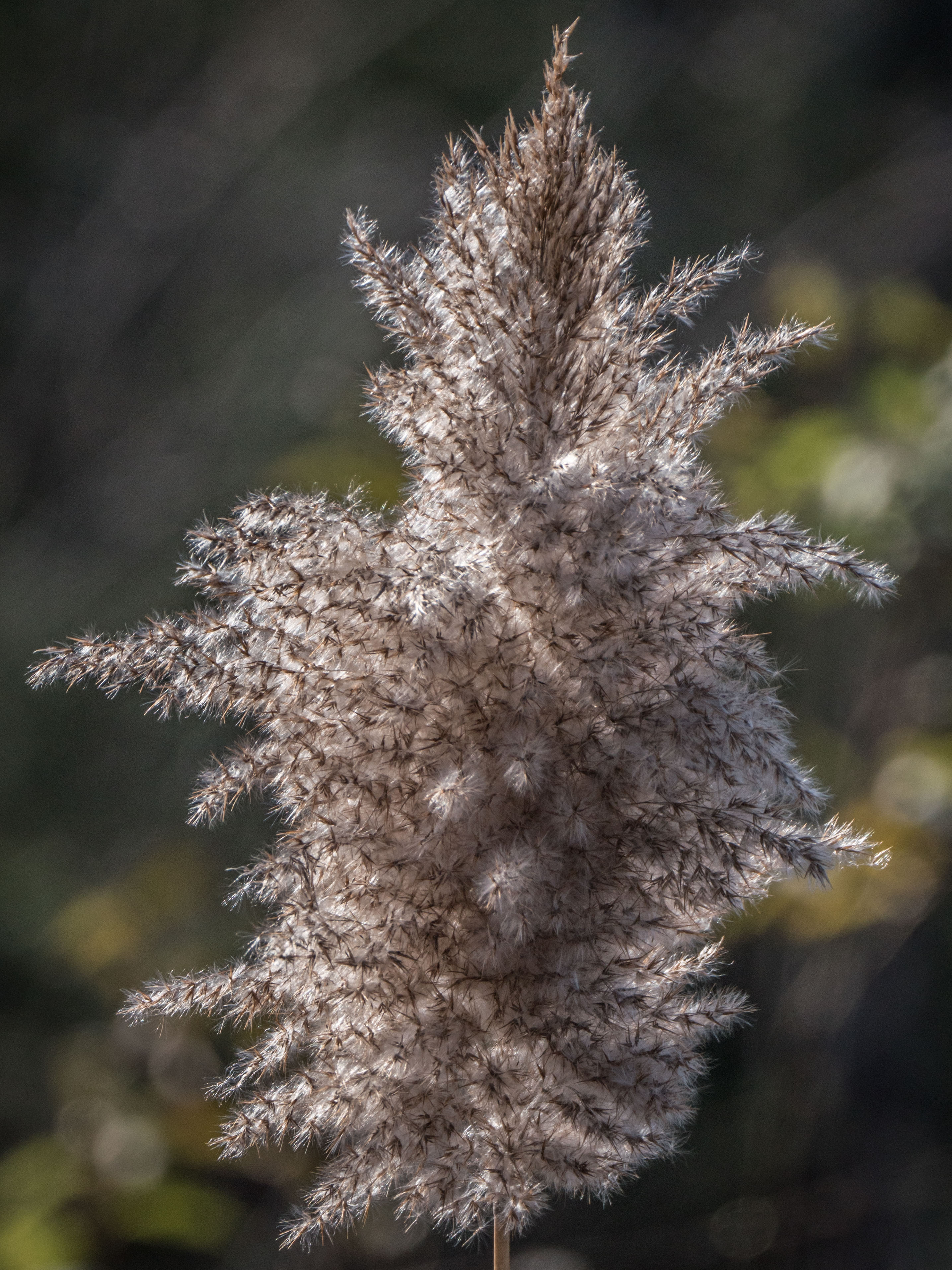
(Tall) Meadow Rue is so very delicate after it drops its seeds.

p1810428-1

And so is Dogbane ….

p1810449-1

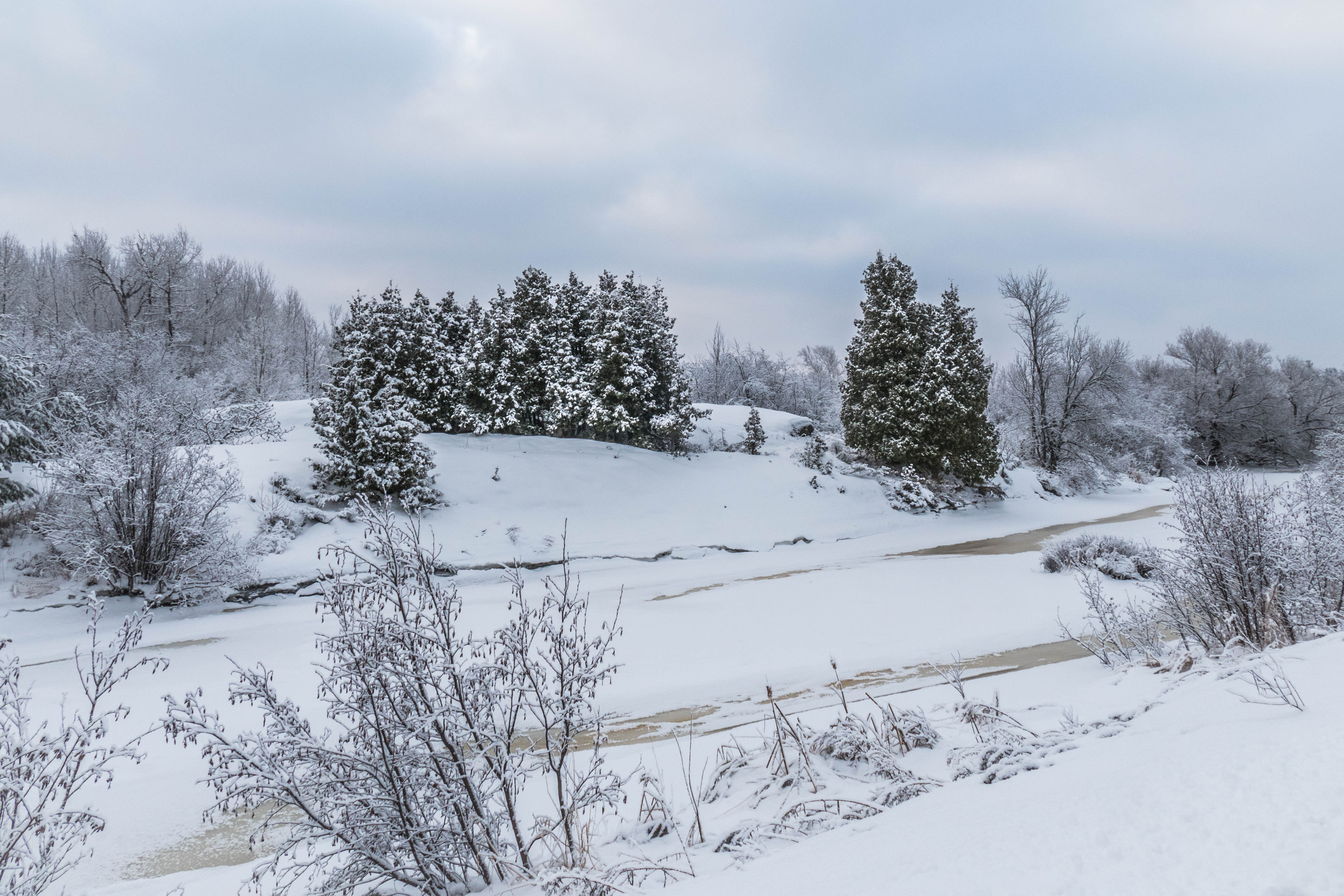
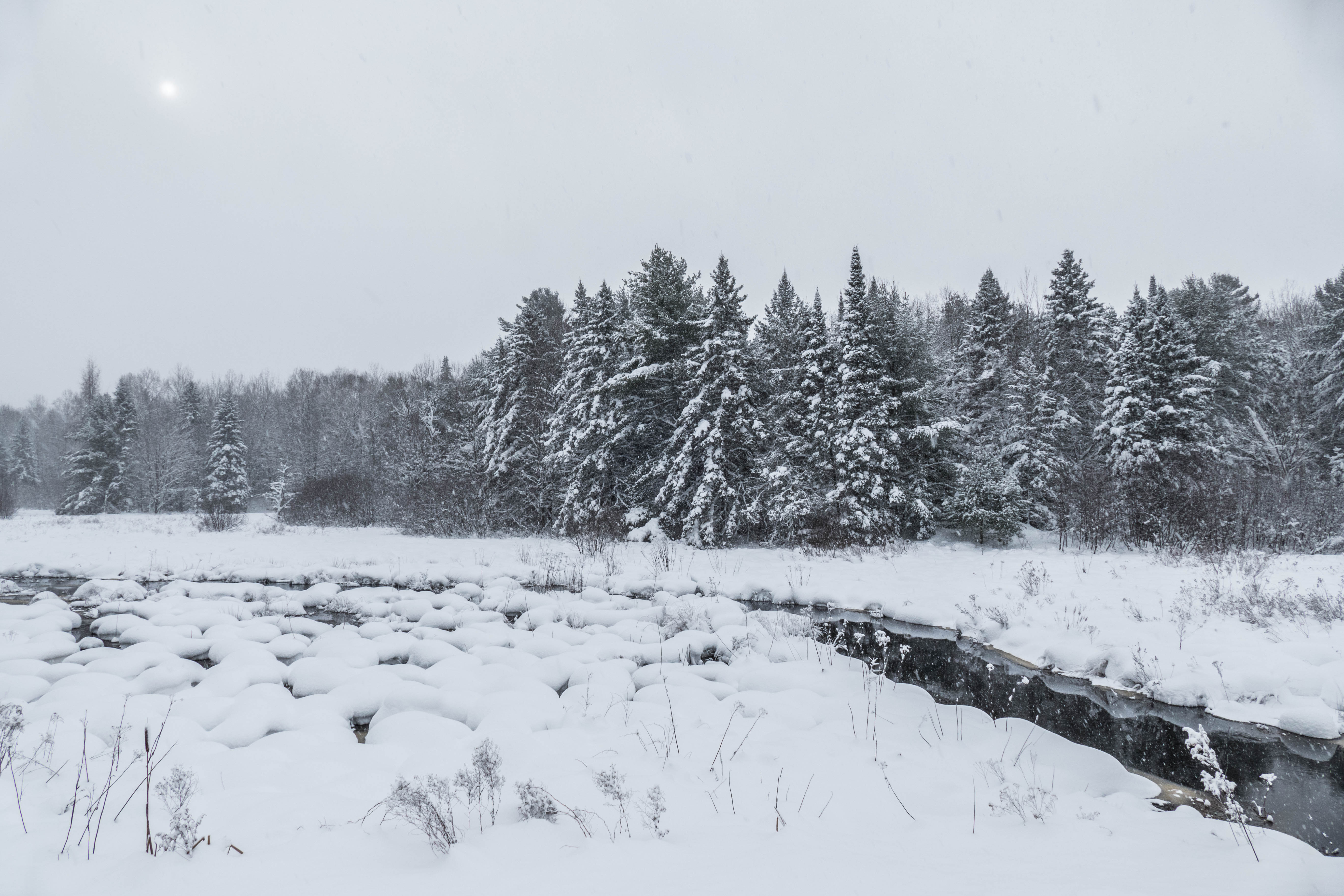
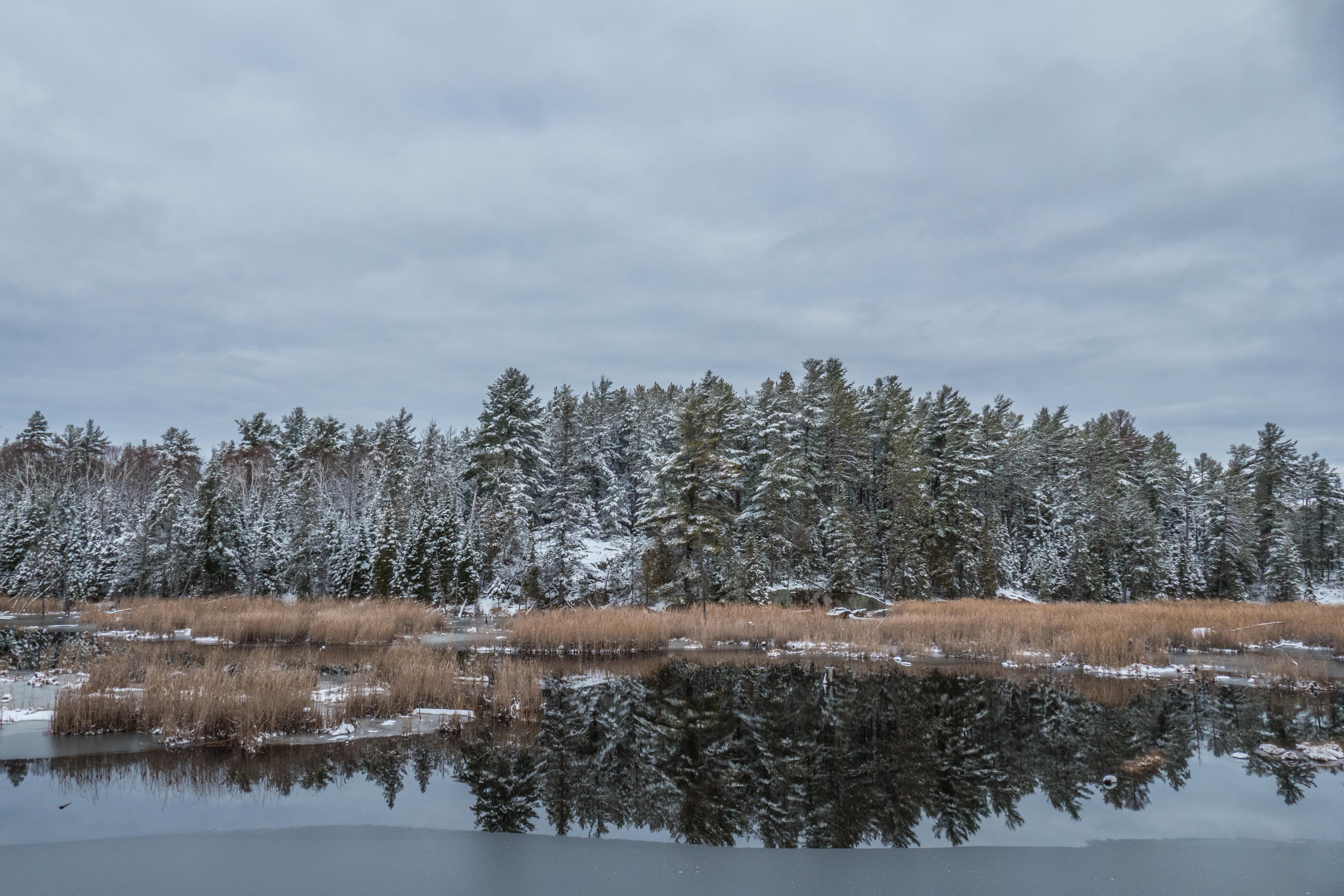
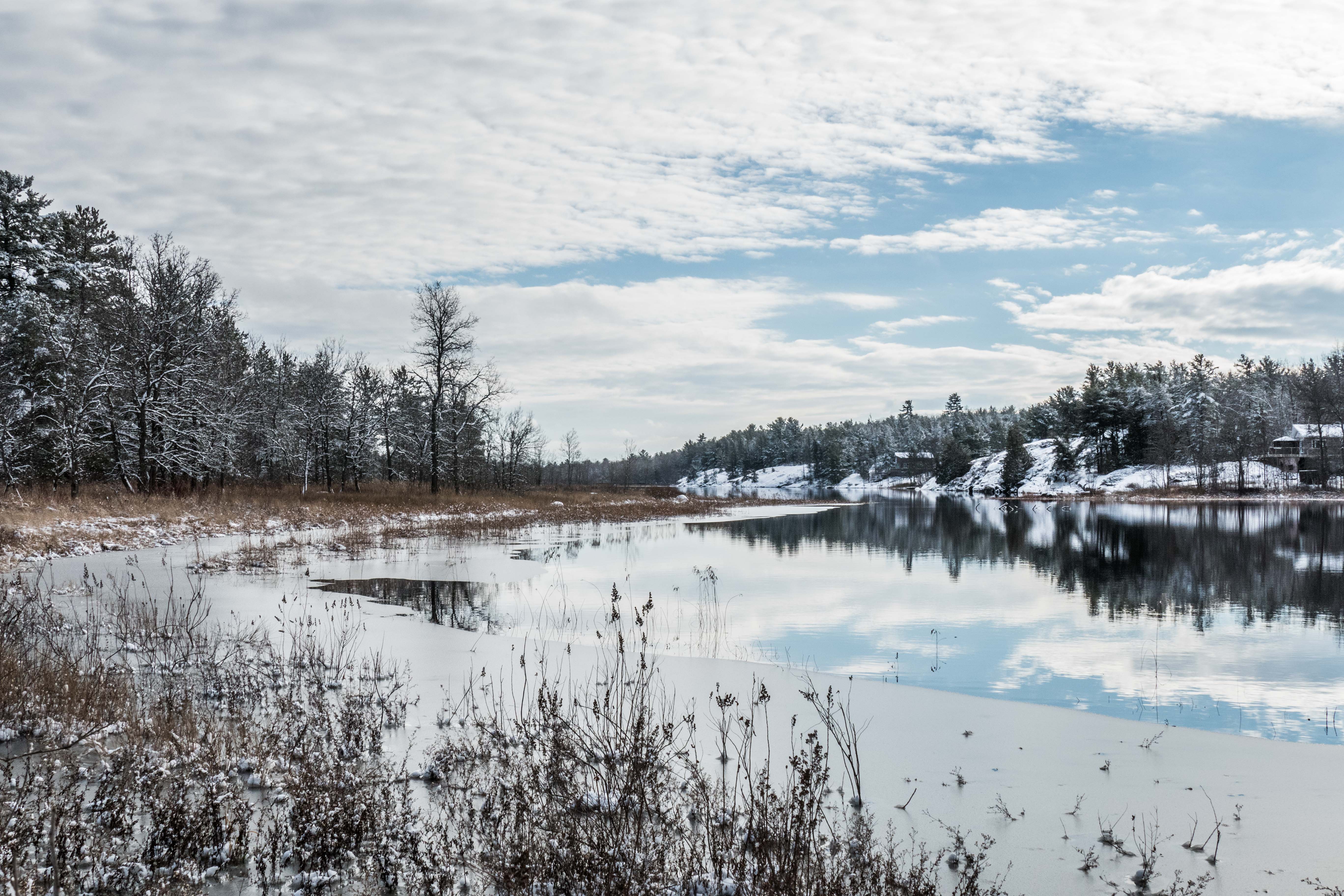
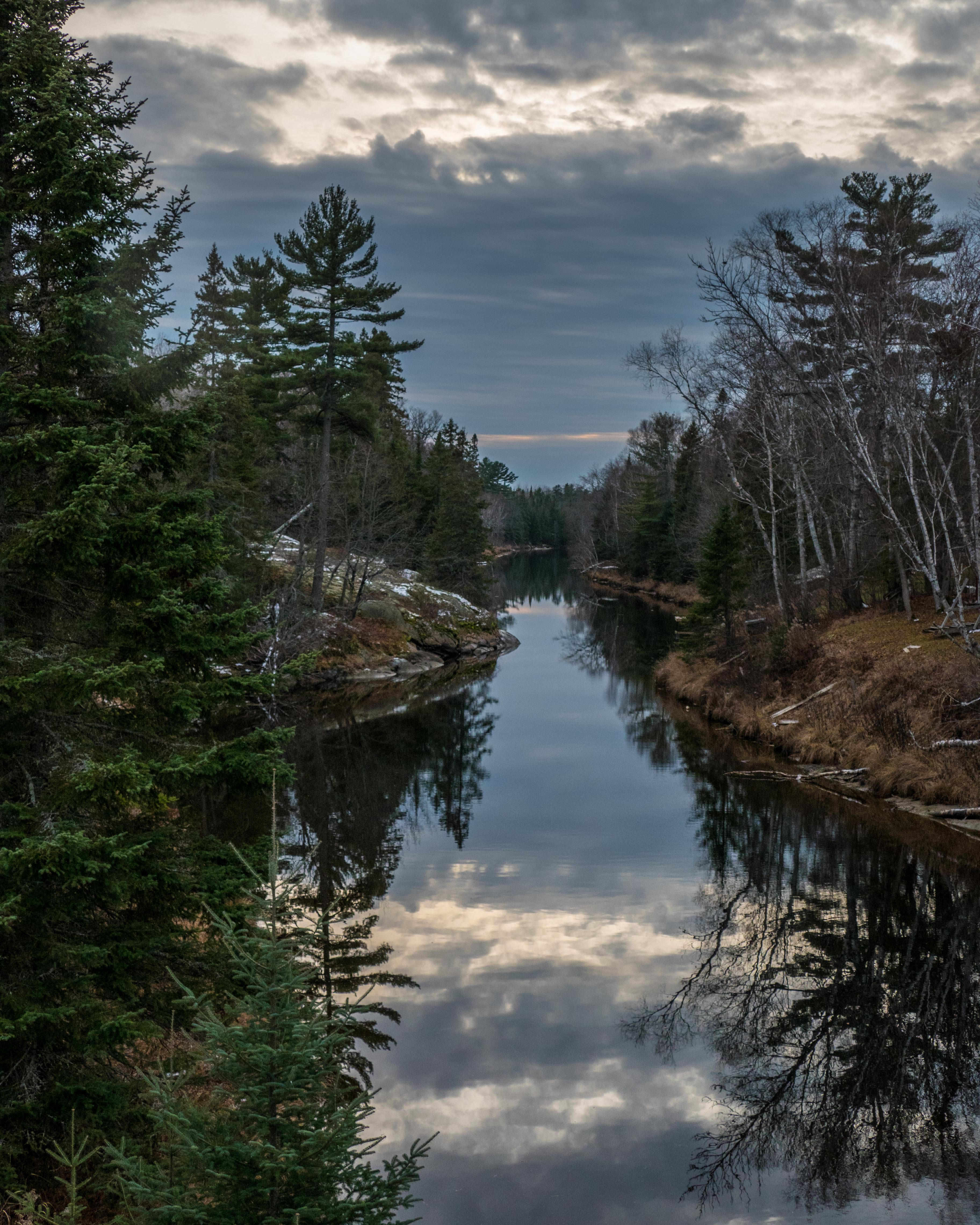
Twin River from the bridge, with the long lens …

p1810477-1

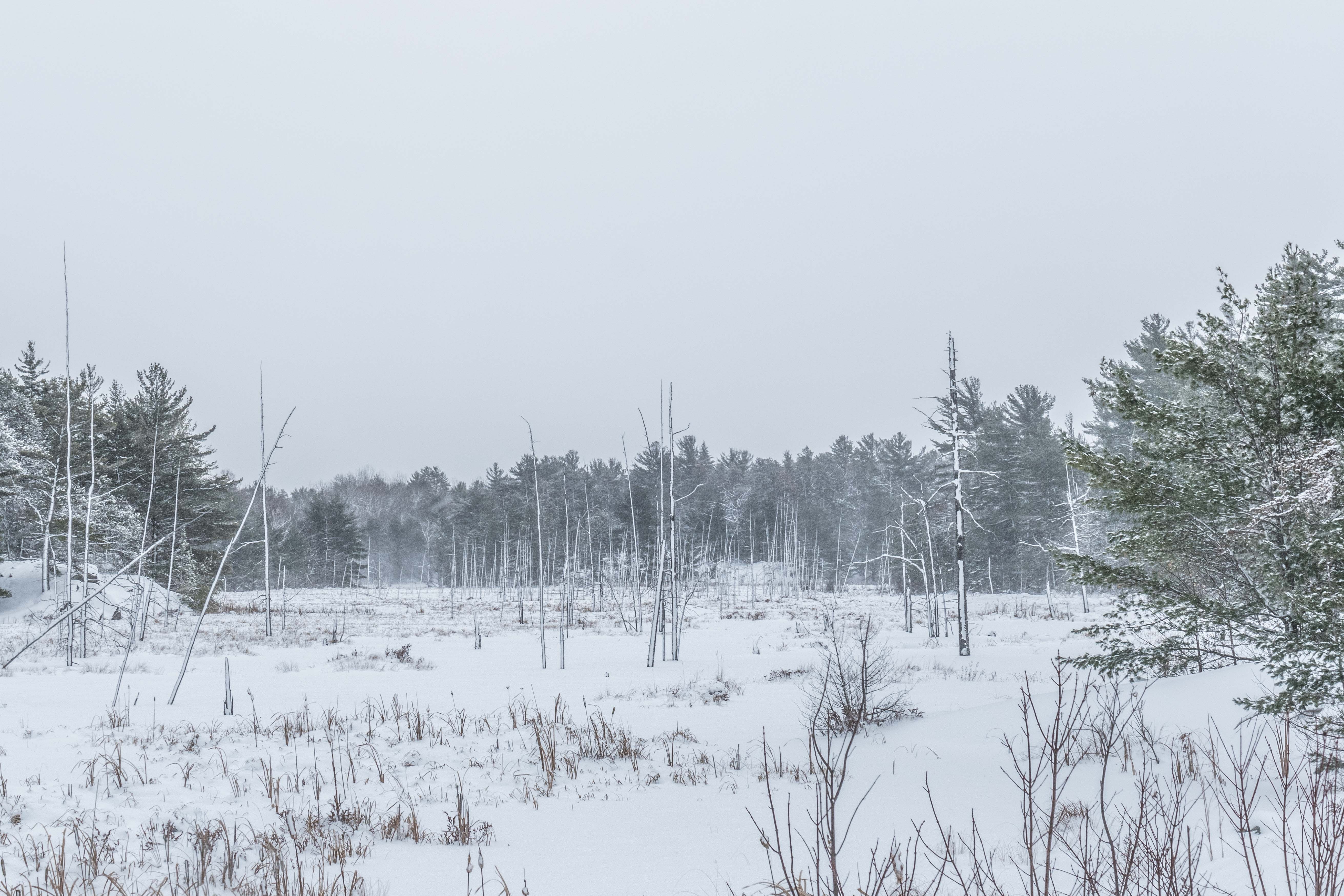
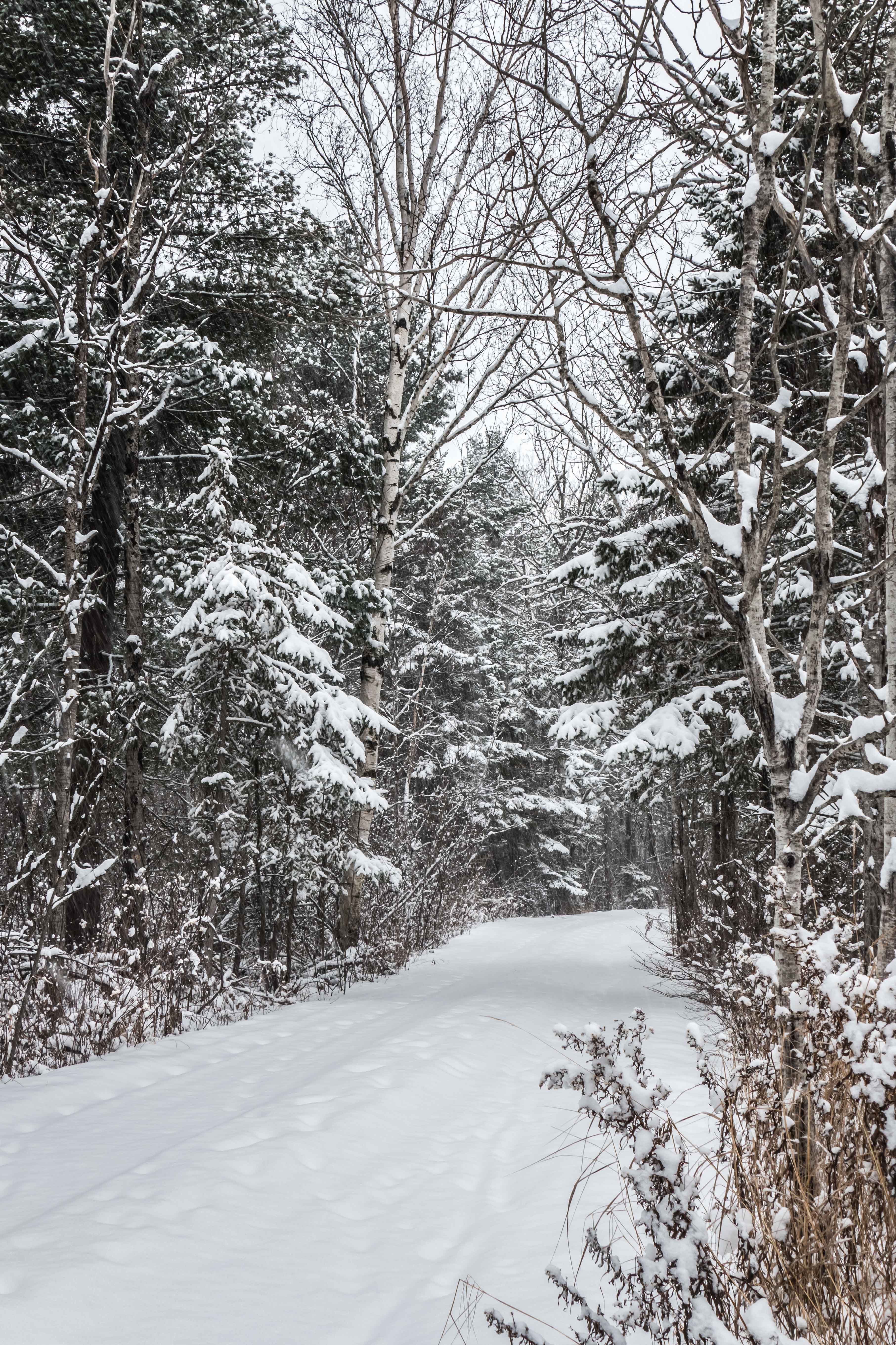
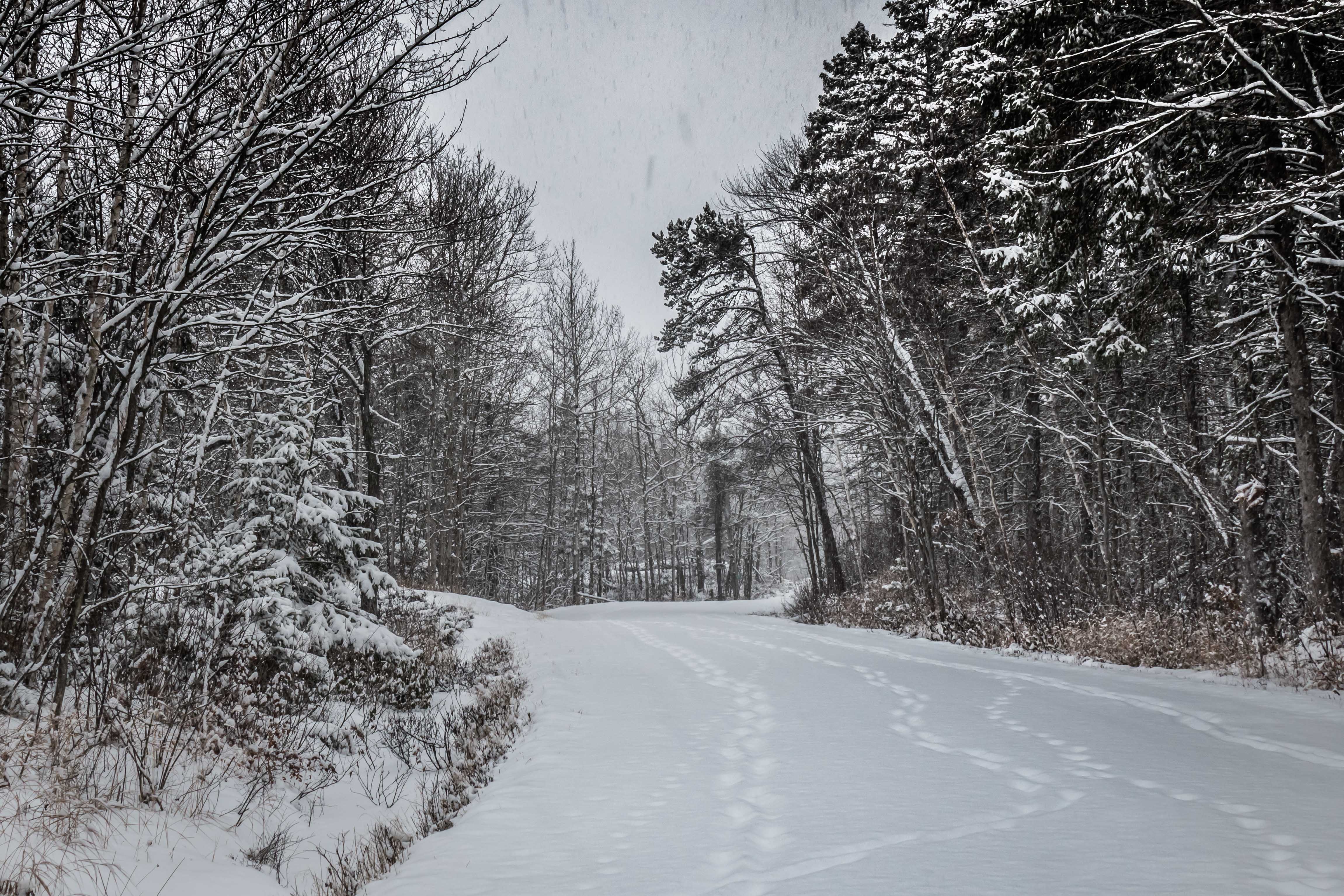
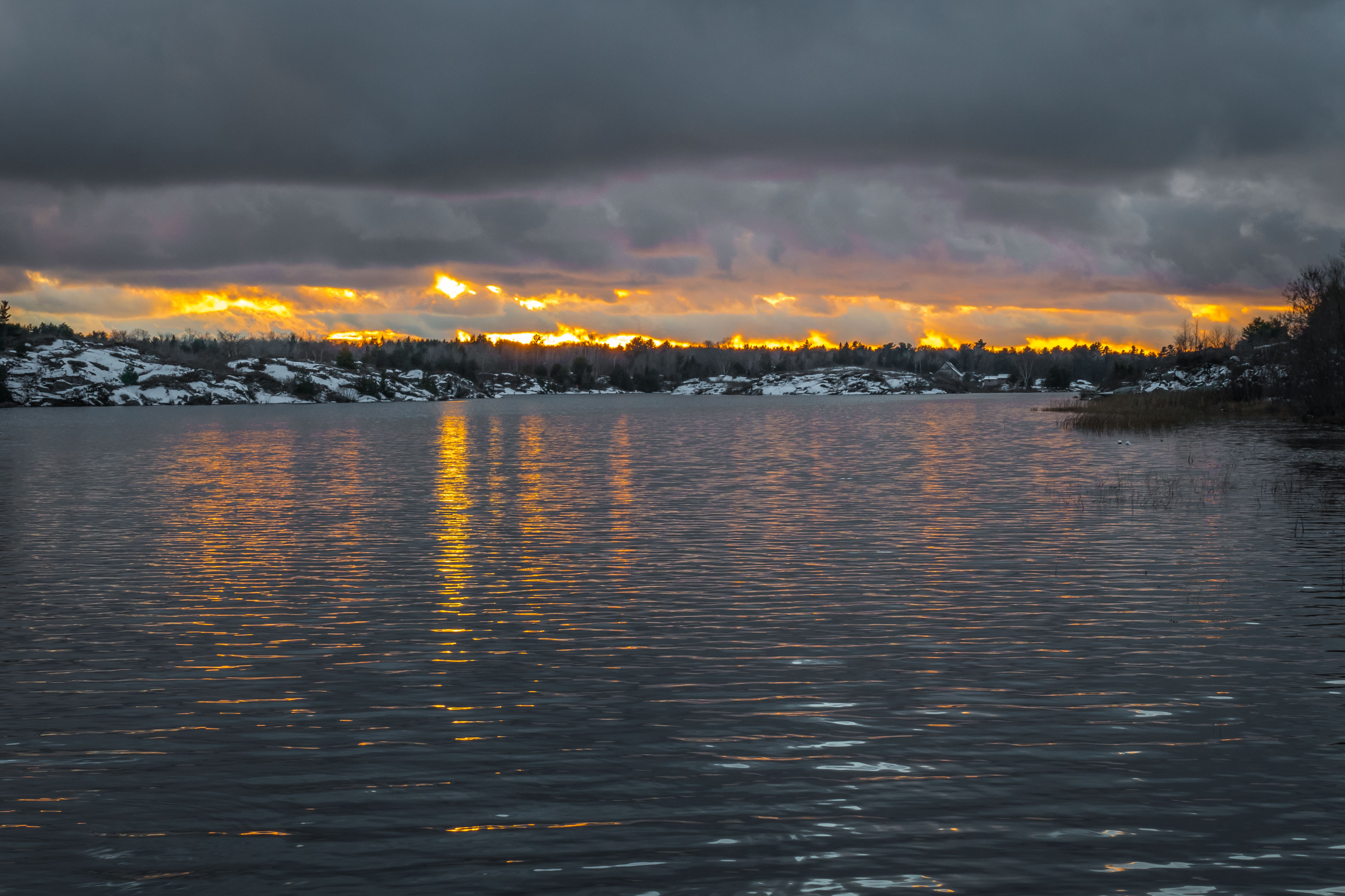
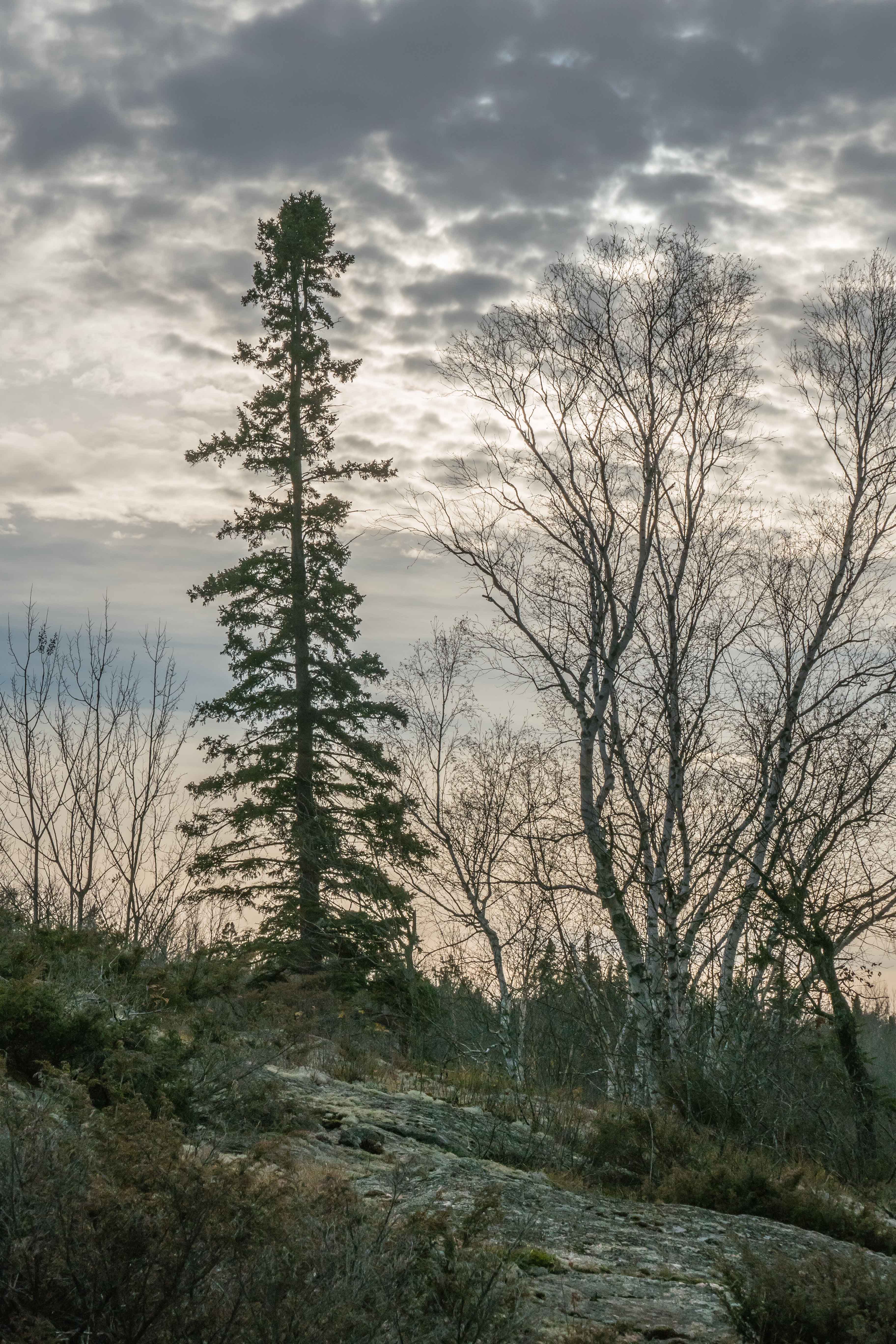
Typical Hwy 529  scene with the long lens:p1810497-1

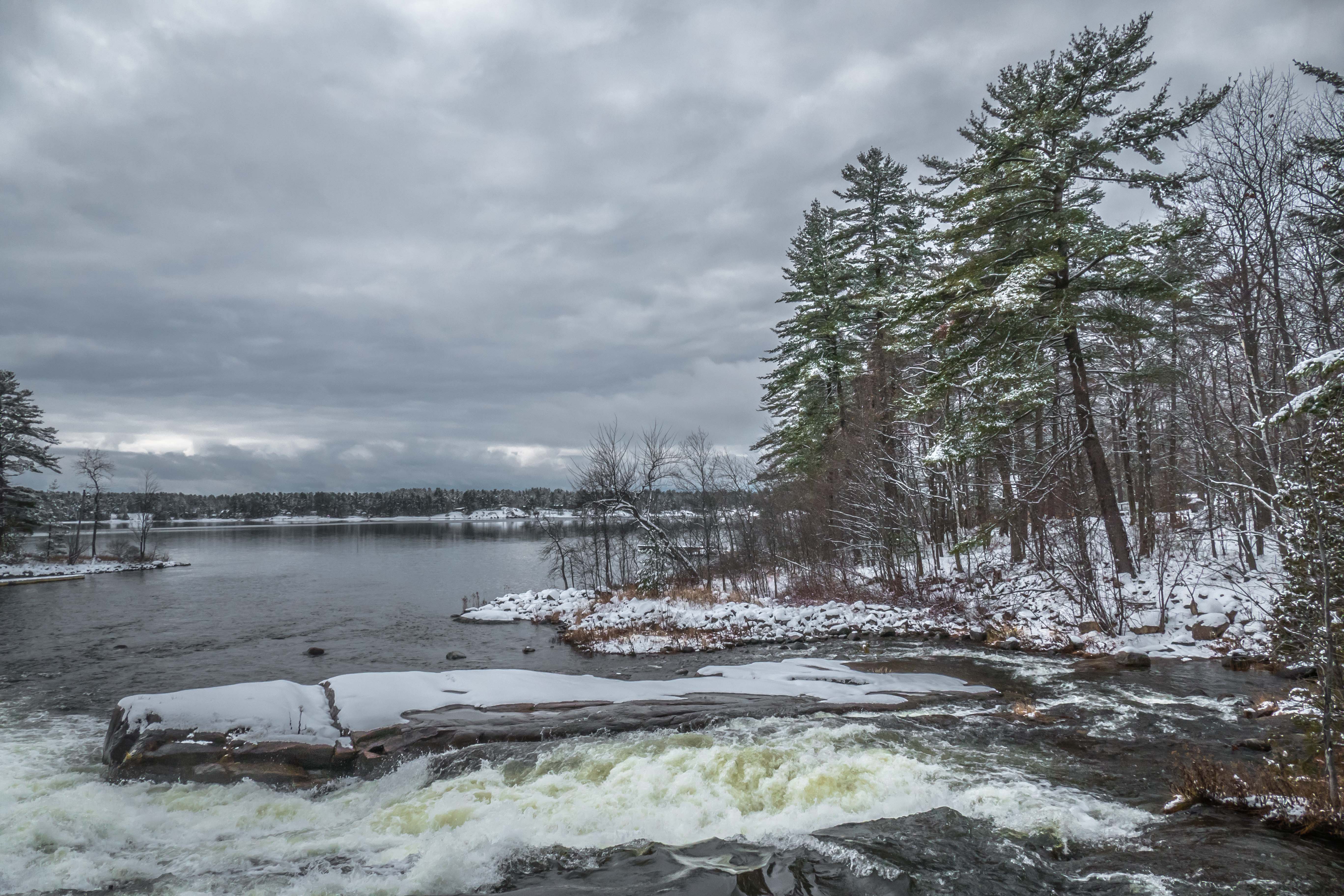
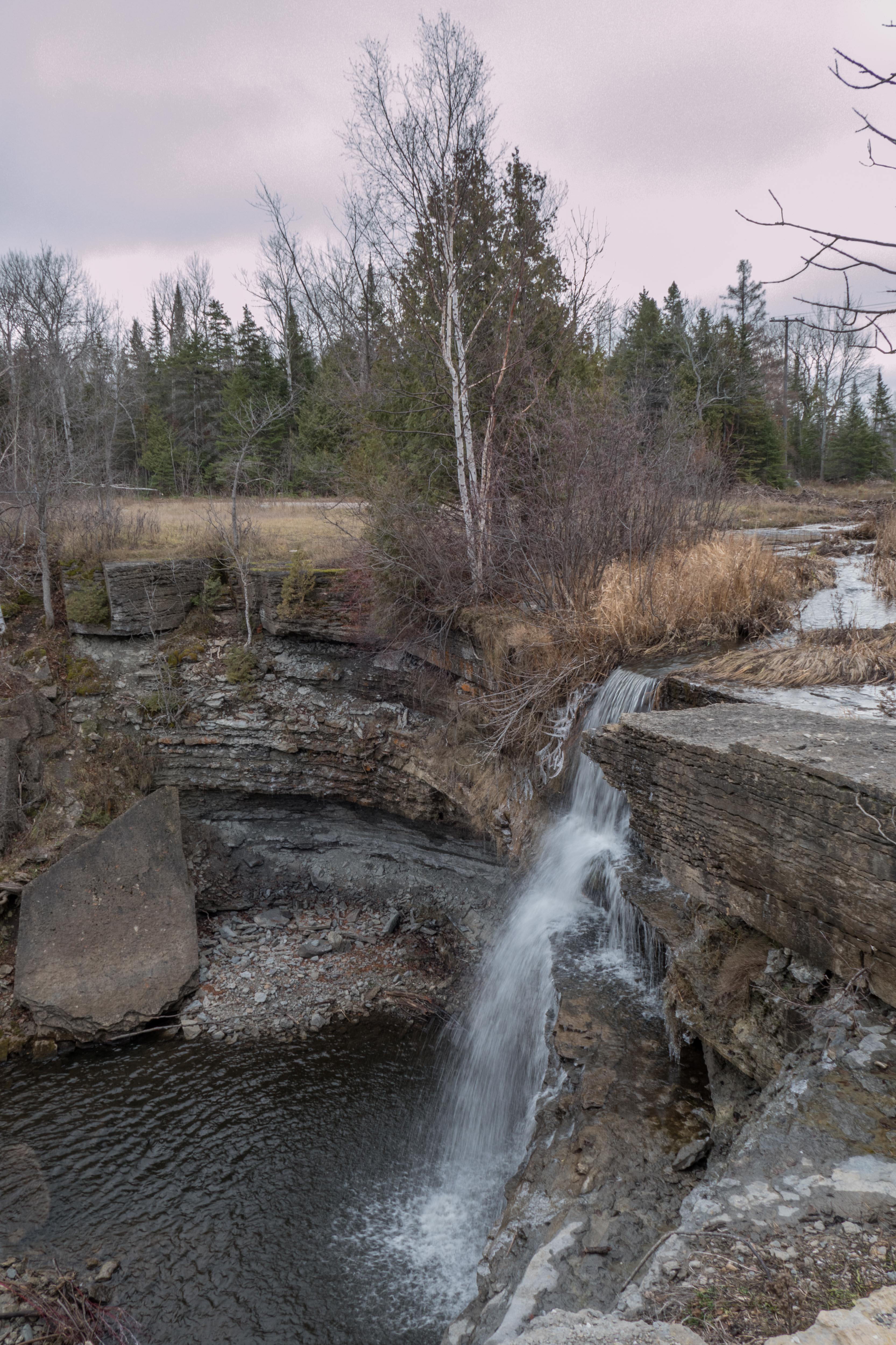
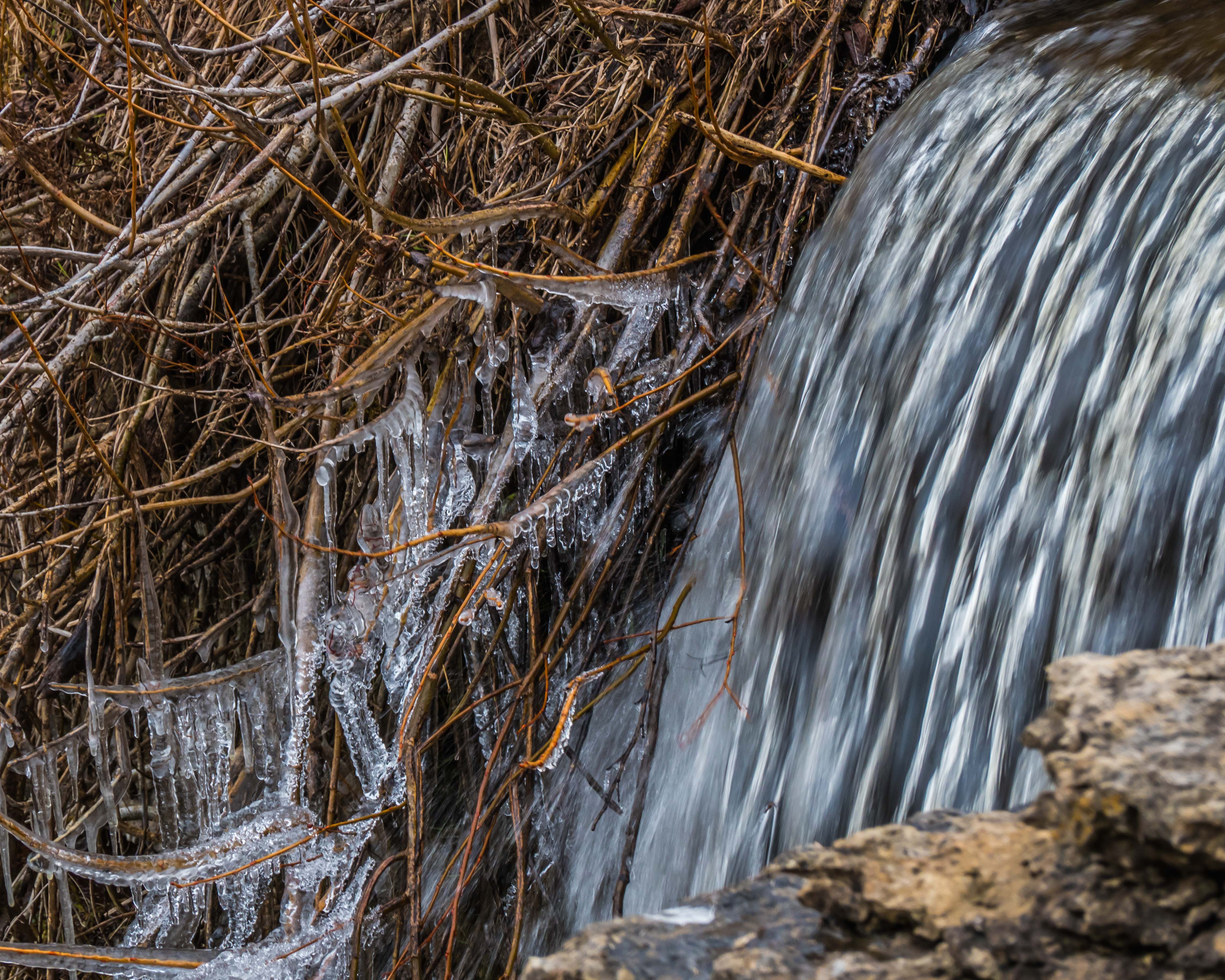
Meshaw Falls on the North Channel of the French River.   I know that it is fashionable nowadays to try to emulate some of Ansel Adam’s work by converting moving water to milky water.   I am not a fan of that cliché, preferring to use enough motion blur to indicate movement, while preserving the structure of the water flow.  This was shot at 1/100 second…..just a long enough shutter interval to let some motion blur animate the photograph.

p1810555-1-2

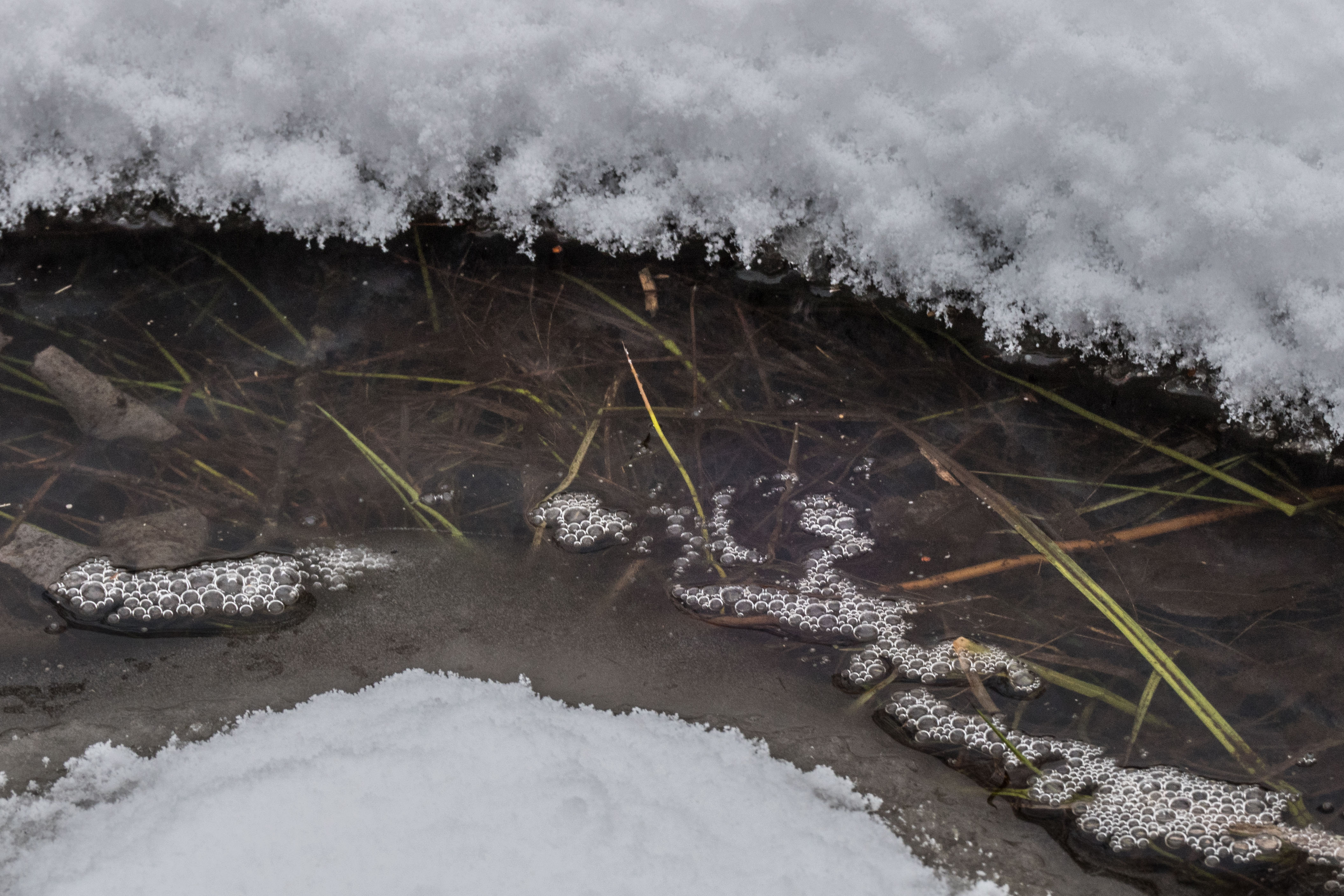
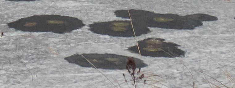
I made this photo because these strange objects are common on ponds when they freeze.  Too small for otter or beaver breathing holes.  They remind me of dendrites of the human brain.   [If you can understand that link you are a better person than I am, Charlie Brown!] (Maybe Oldtimers Disease is settling in on me!) …

p1810567-1

I drove almost to the end of Bekanon Road of the Henvey Inlet Reserve on November 26 to see one of Herbert Fisheries tugs tied up at a dock on the southern point (as I looked west).

This is from the sand beach about 1 nautical mile west of where Henvey Inlet narrows.

p1810574-1

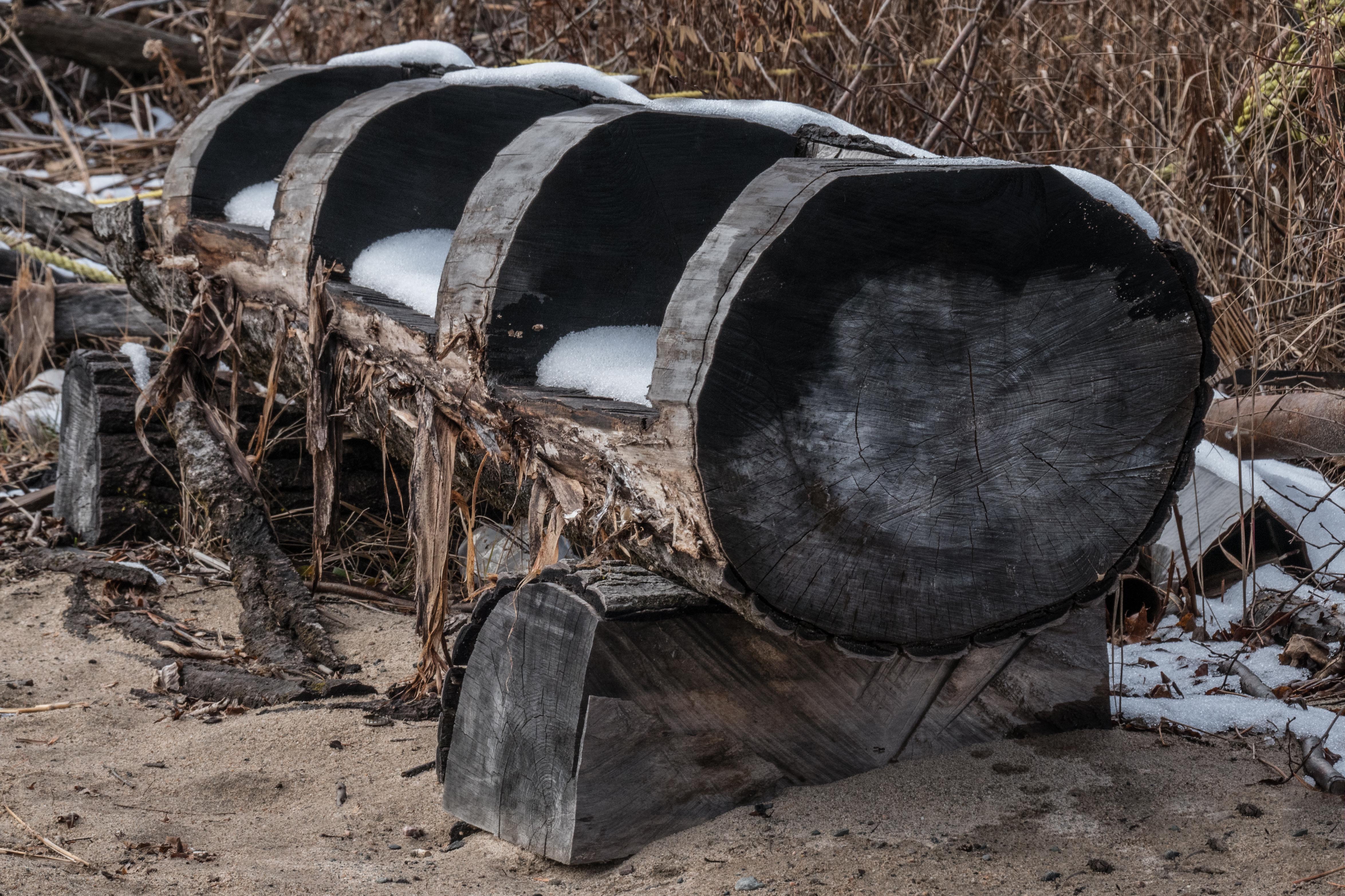
Homemade bench at the above beach:

p1810576-1

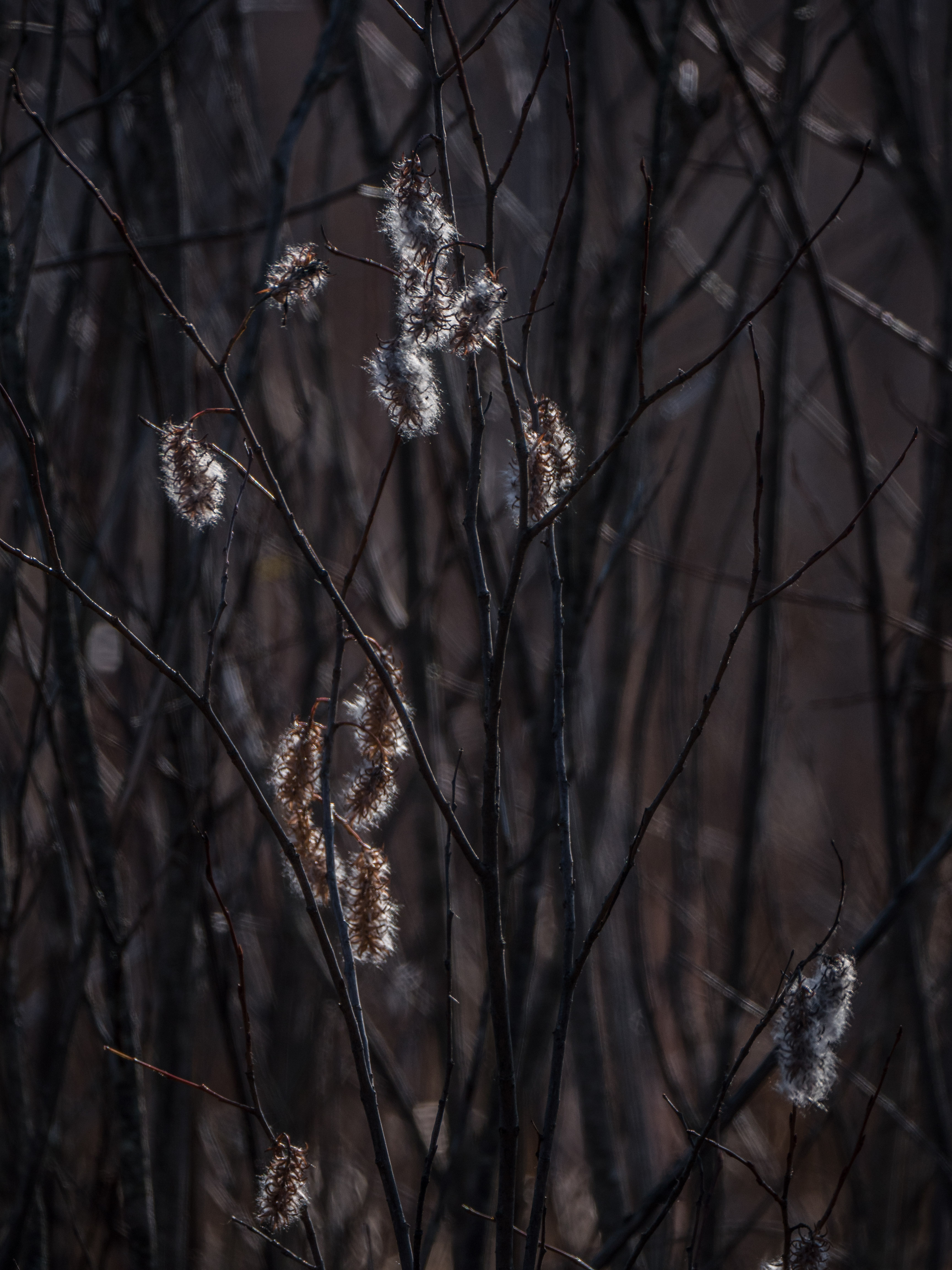
The last of the blackberry leaves on the Beckanon Road….

Just after I made this photo  I met a nephew of the late  Art Solomon, an Ojibway elder who did important work in the Canadian Justice System, who wrote Songs for the People, and who was a big help in the writing of the Science North production of Shooting Star ,  a 3-D, 70mm, laser enhanced story of a young girl’s spirit-quest in the Sudbury Impact Crater.  Not surprisingly the man was quietly parked in his car, observing nature and listening for the bugle call of one of the elk that he had heard there earlier.  We had a very enjoyable chat.

p1810593-1

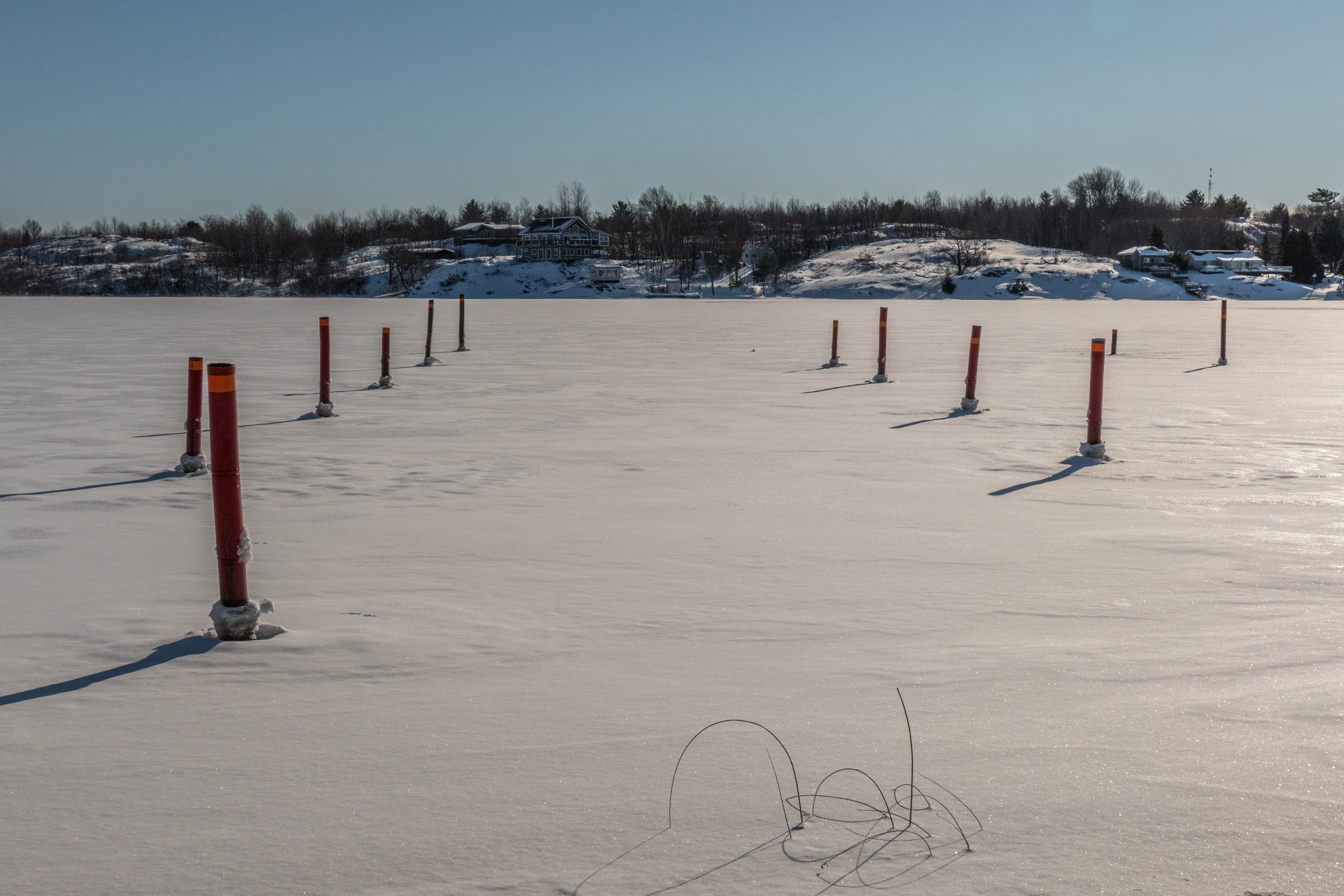
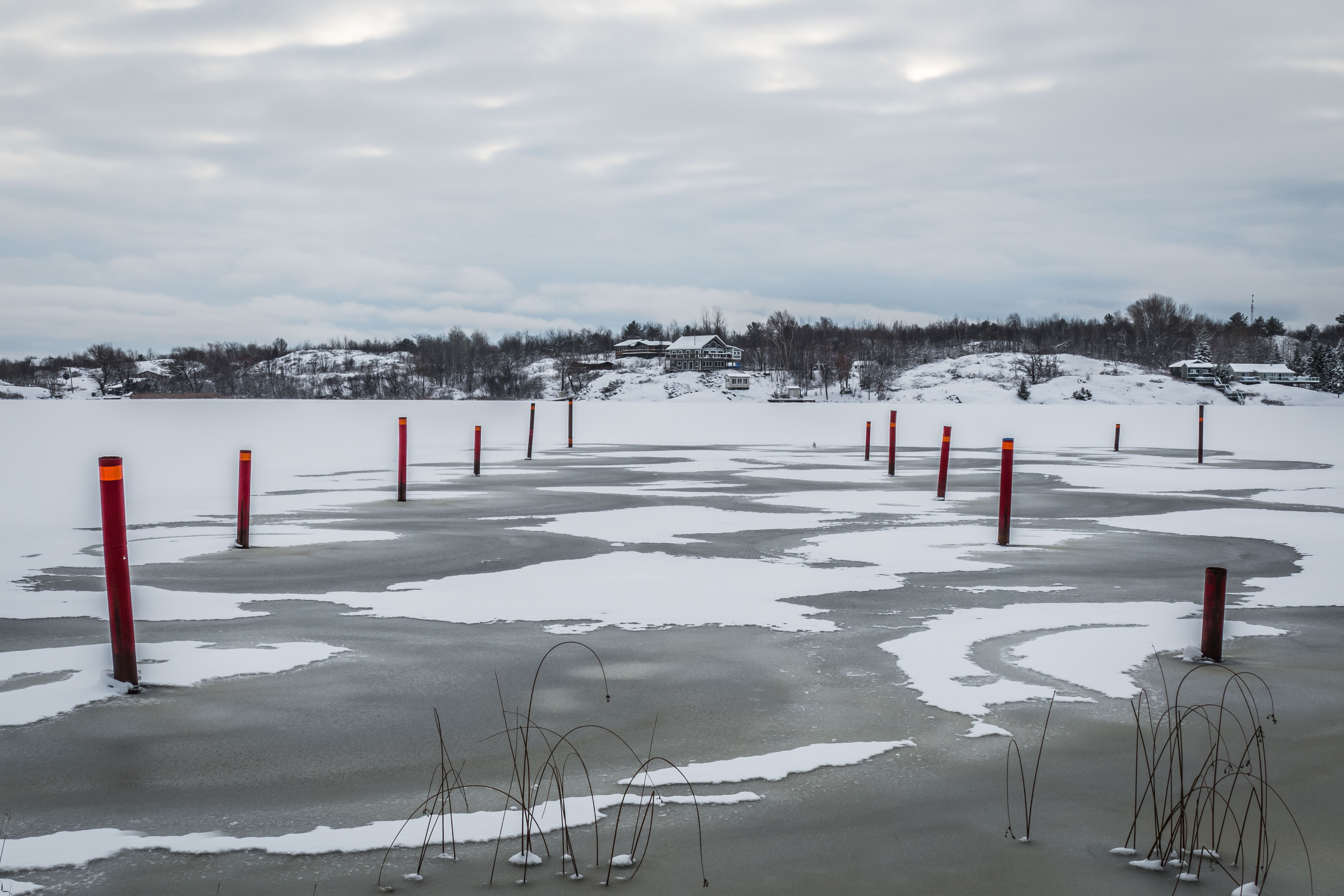
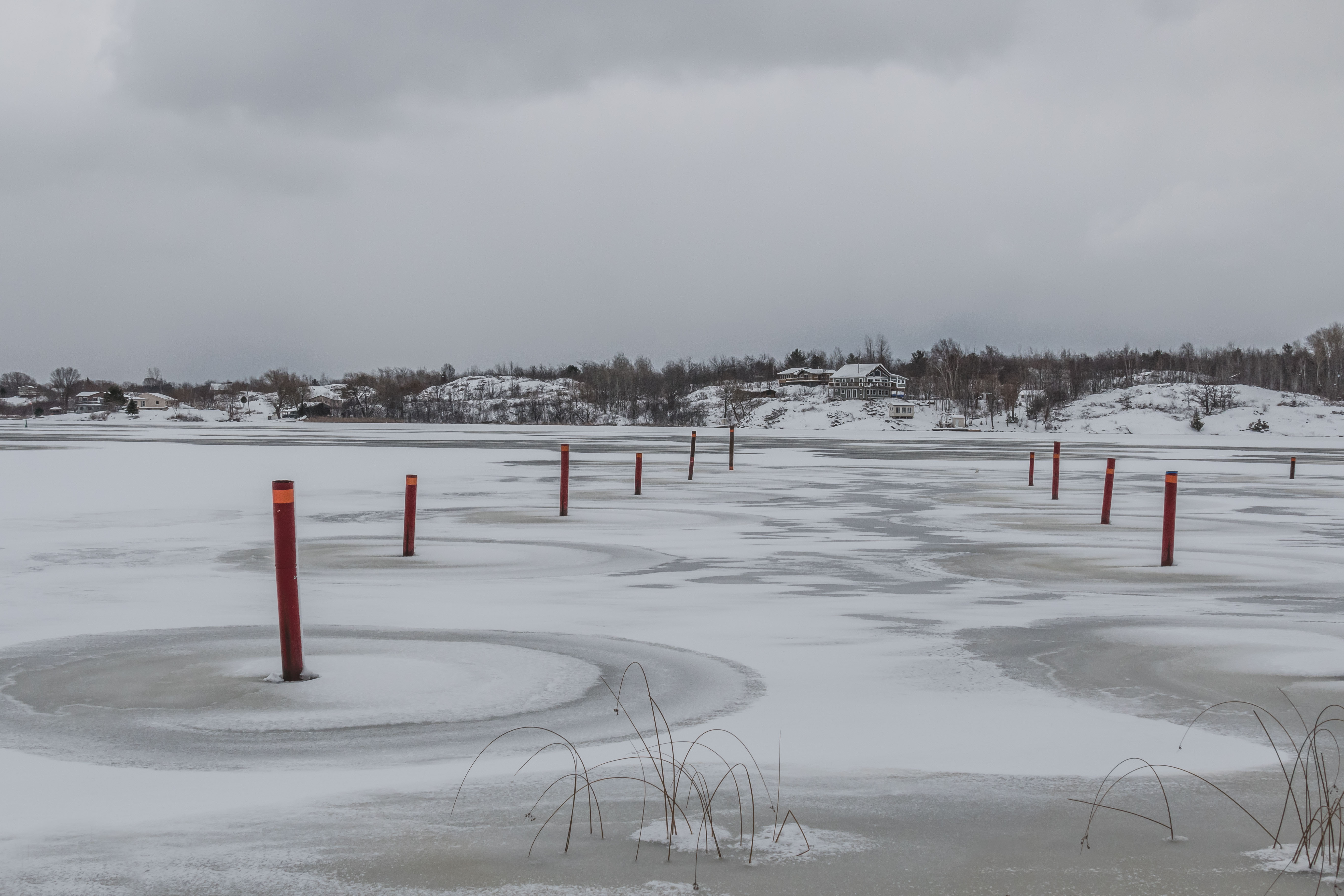
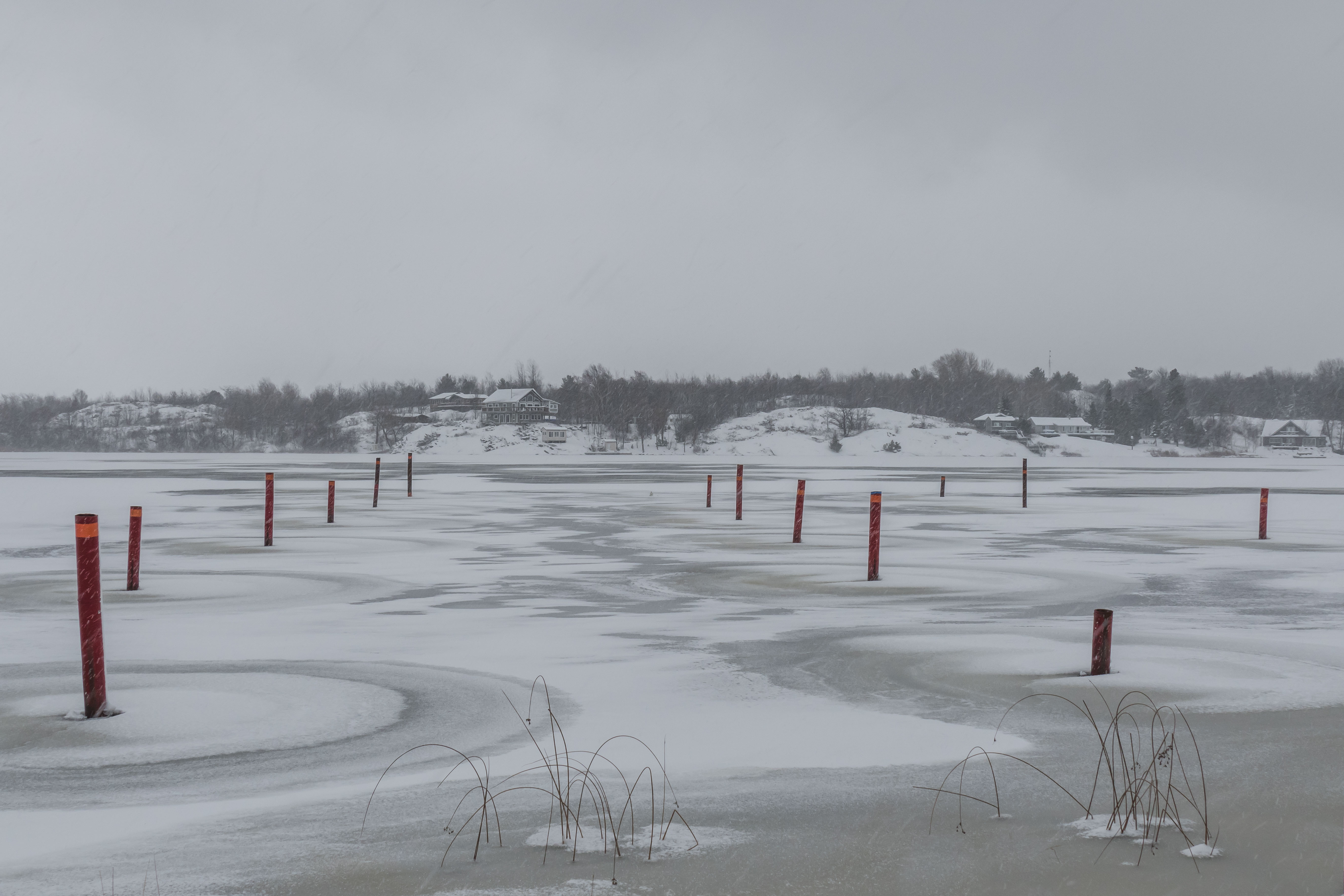
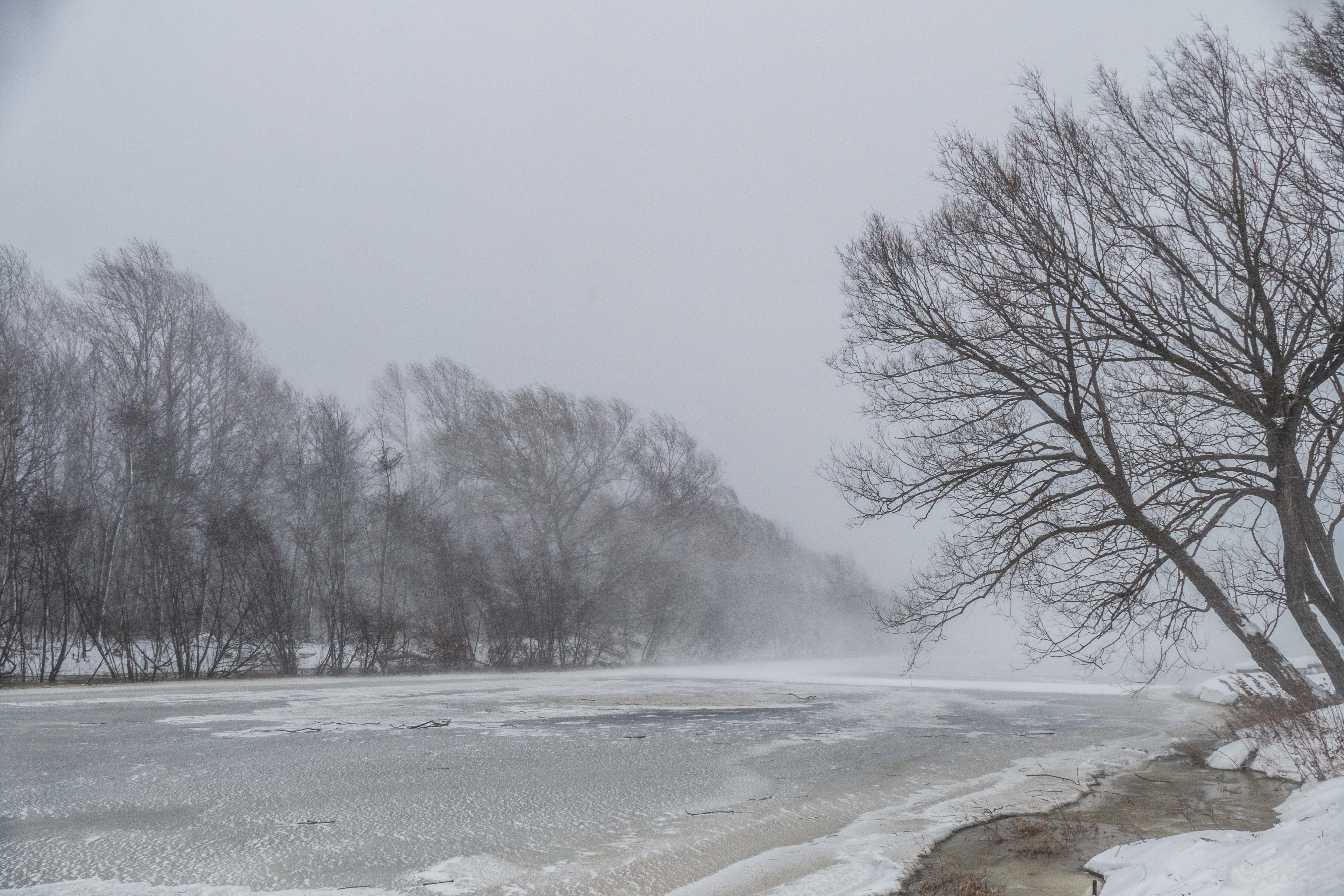
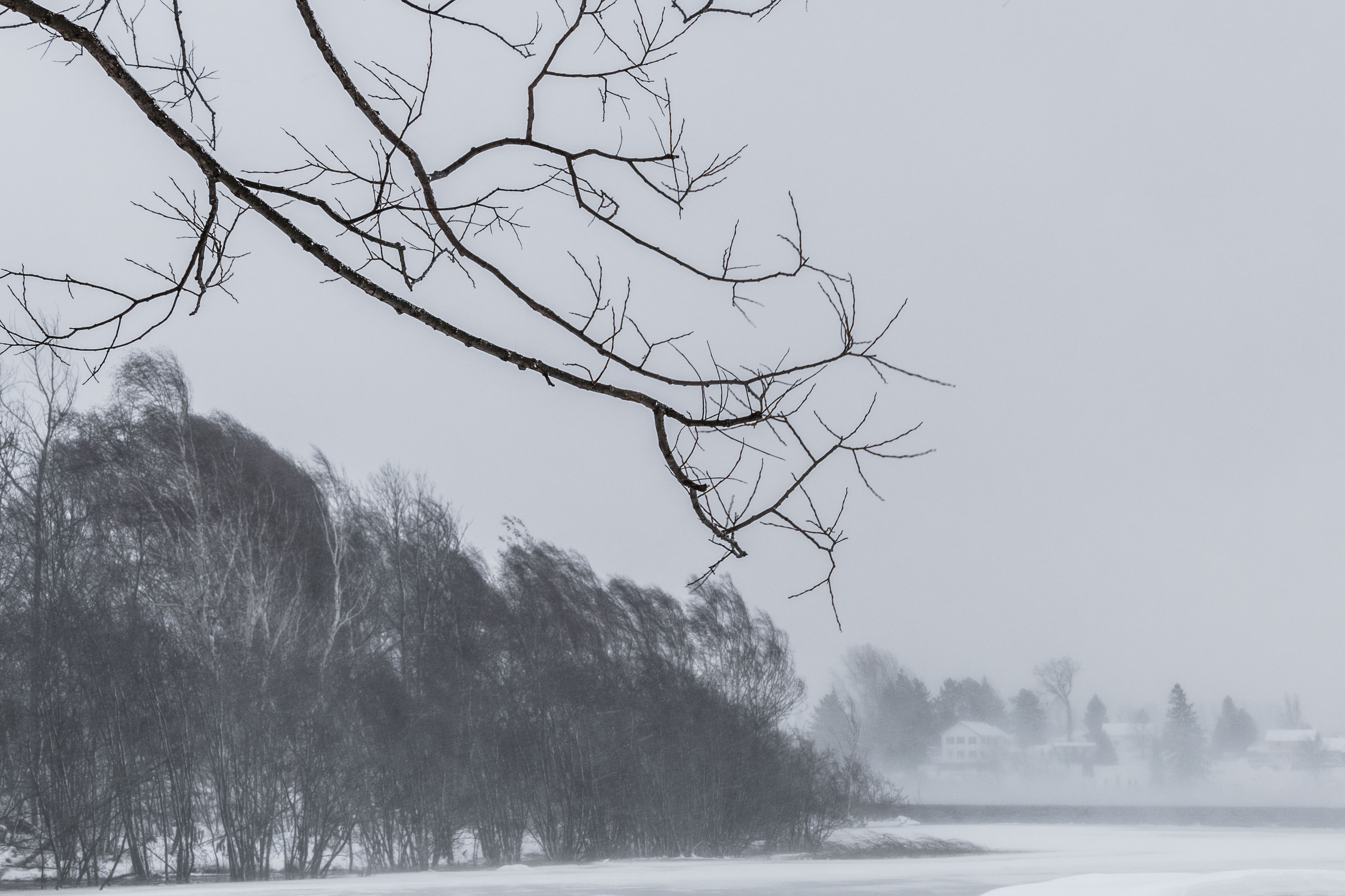
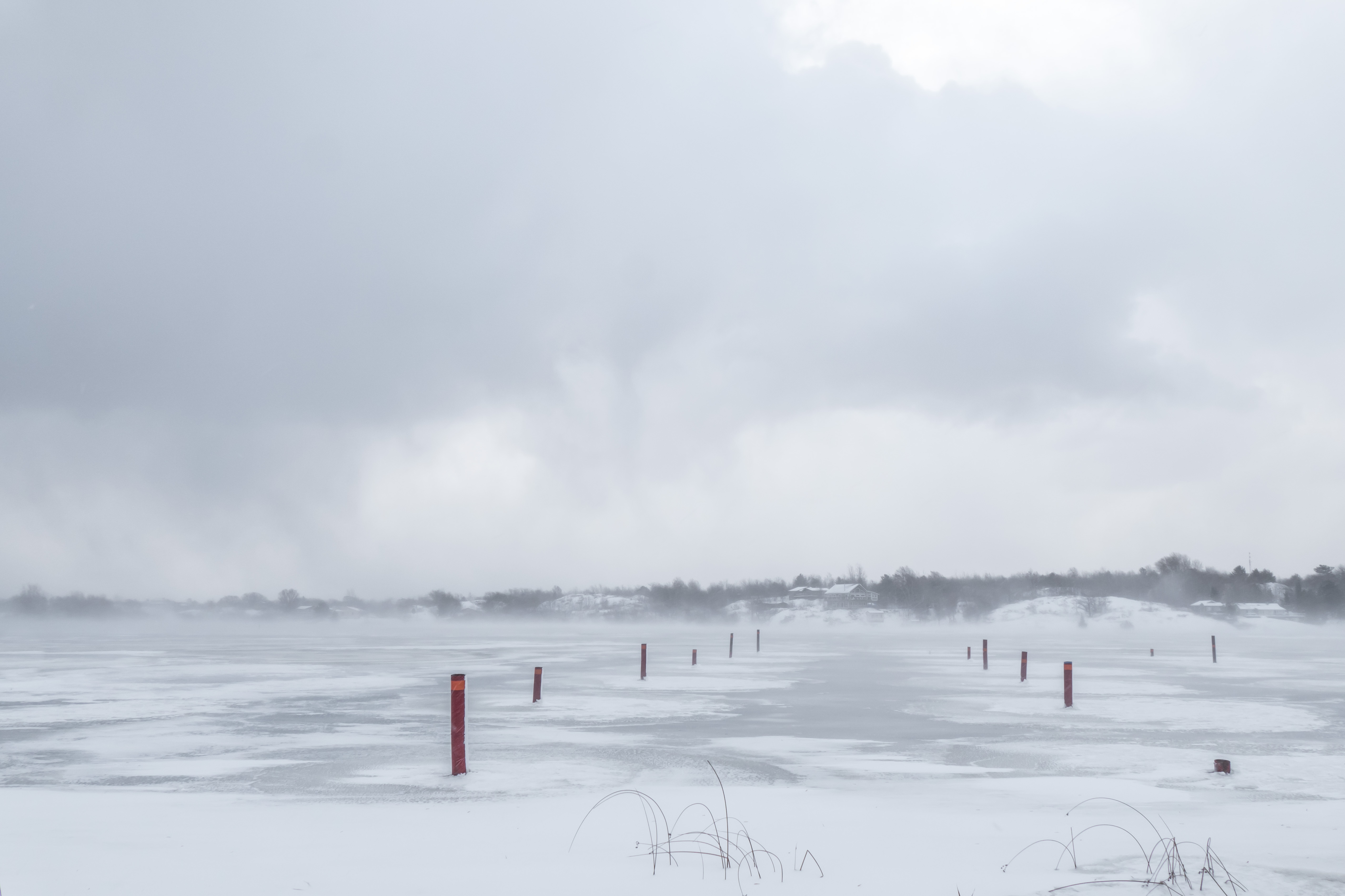
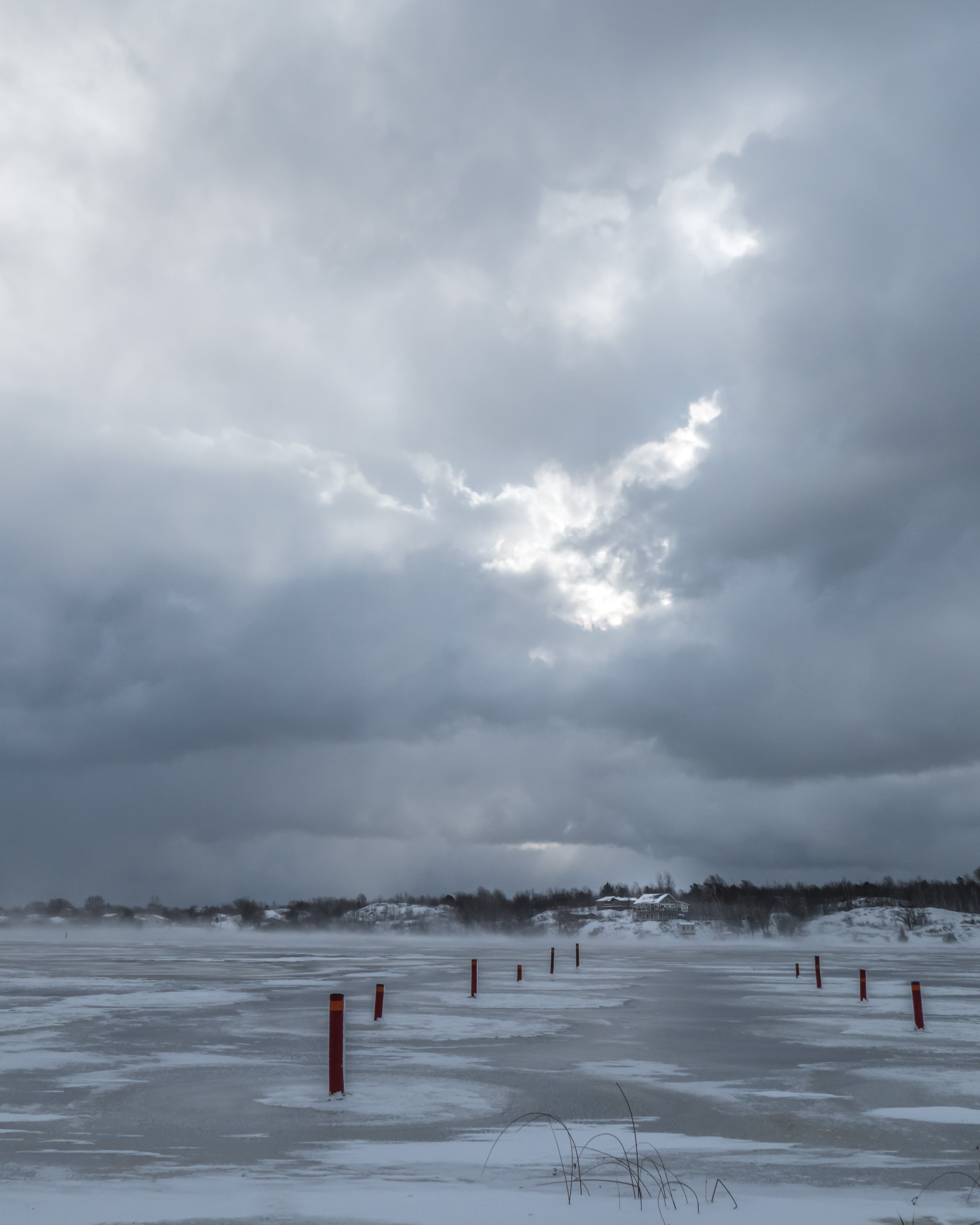
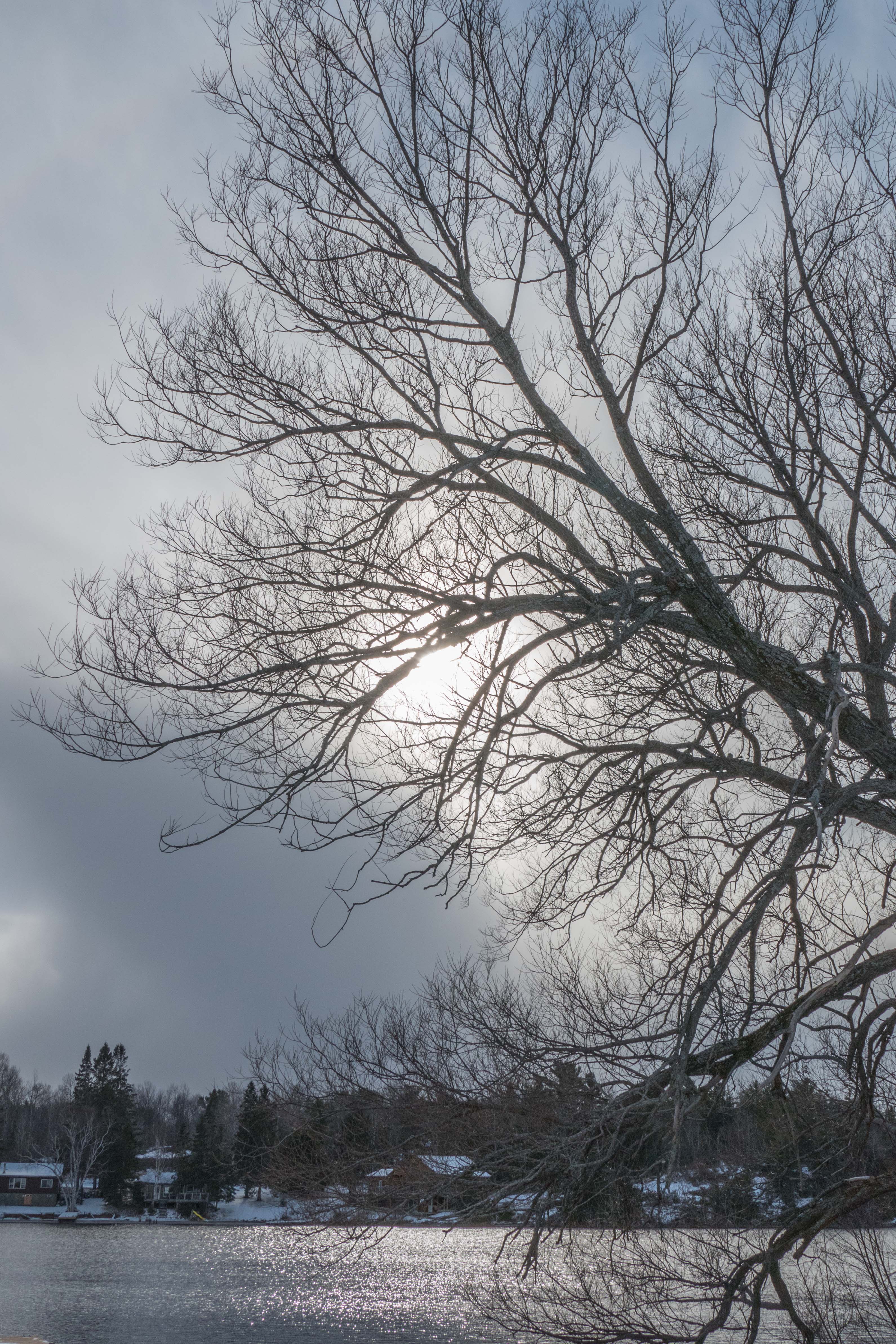
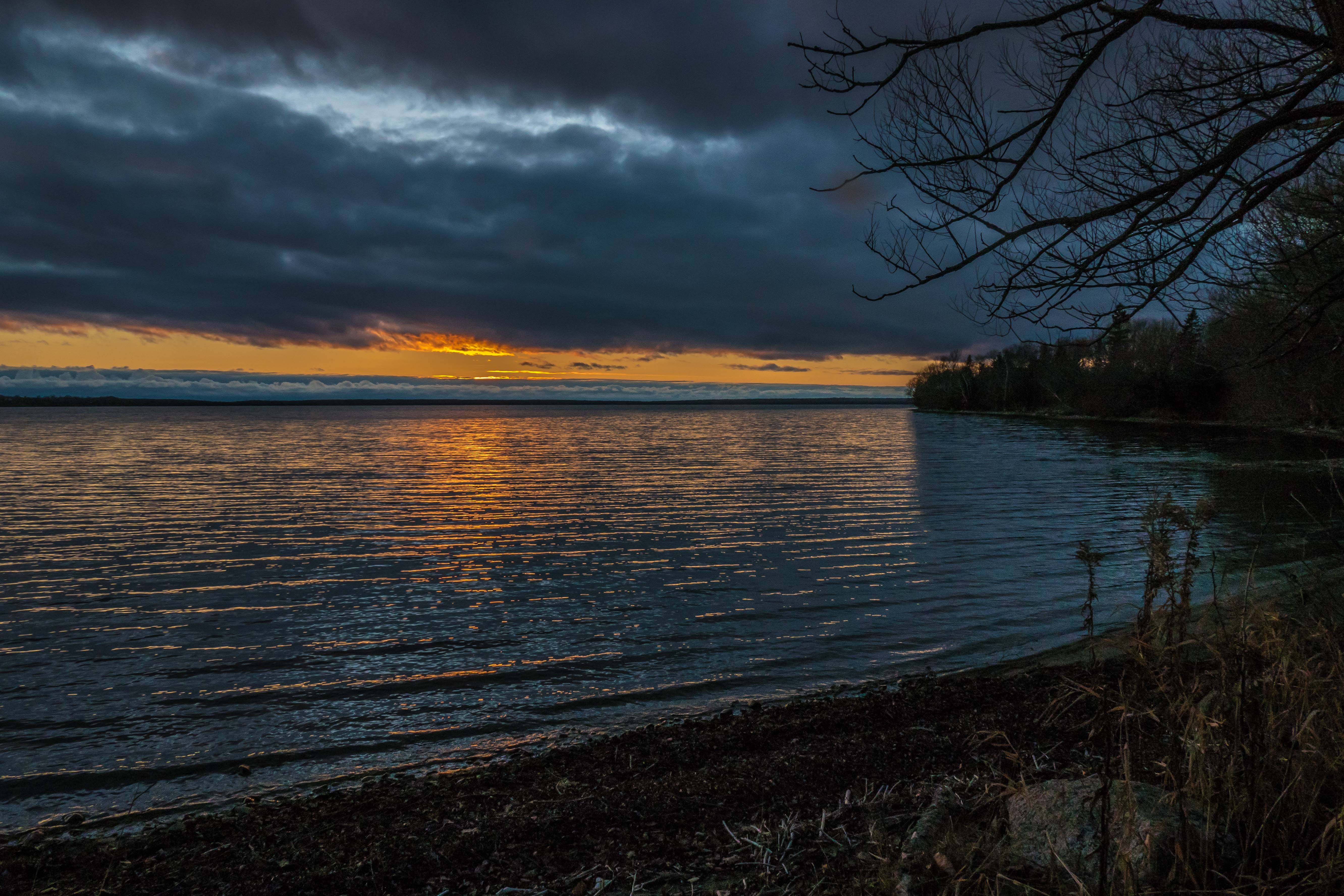
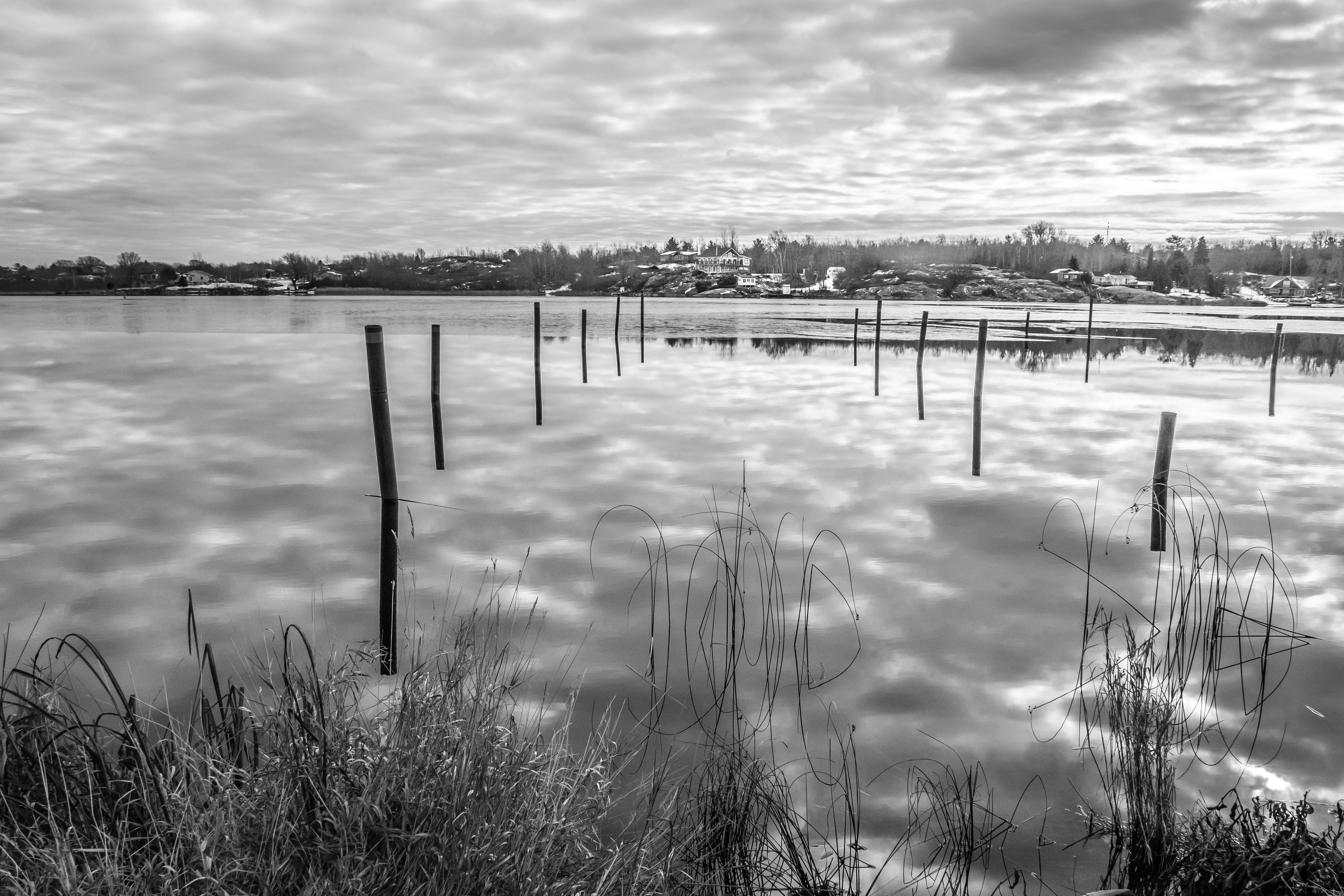
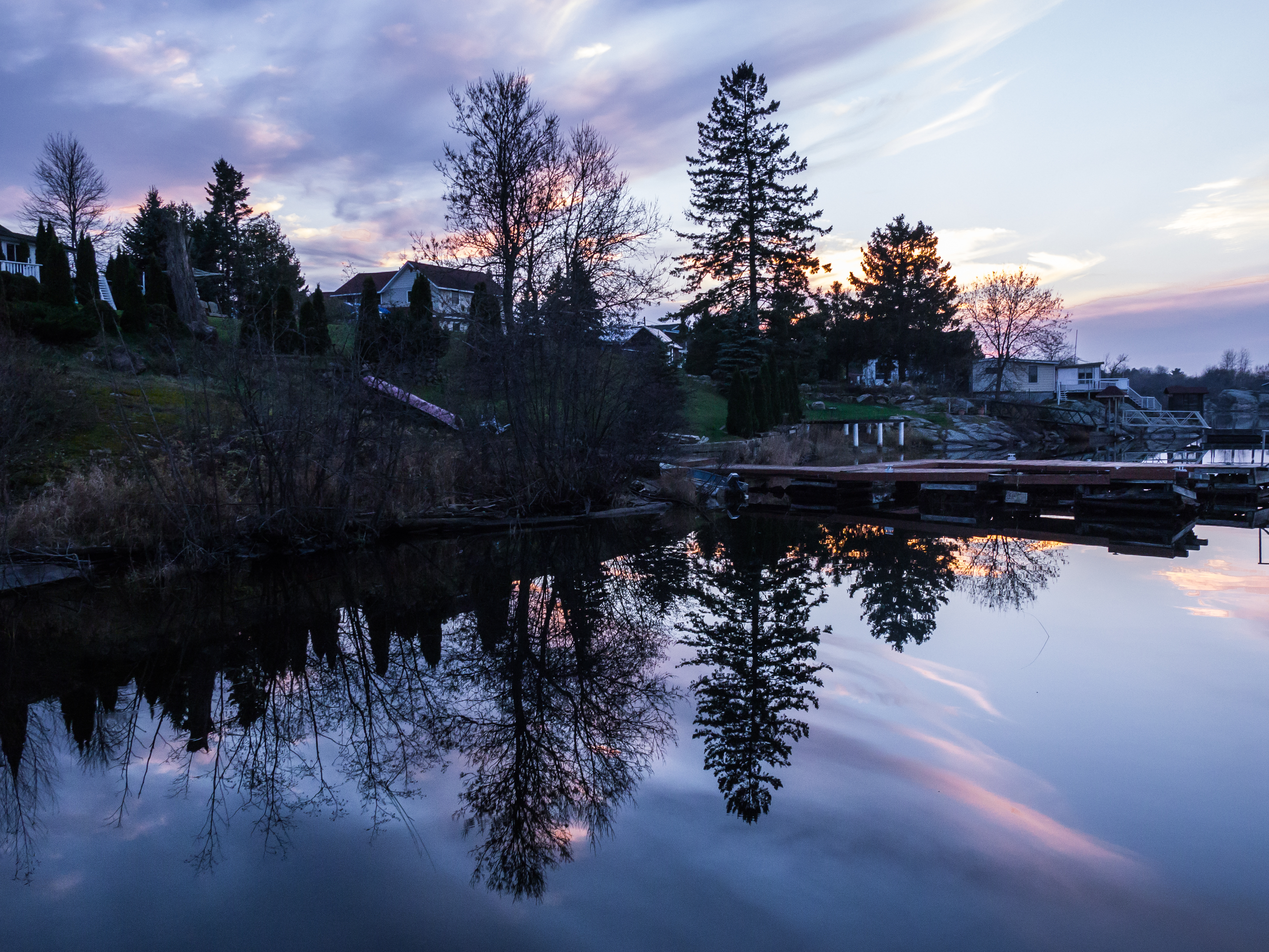
A classic shot of the Mackerel sky and its reflection from in front of St Amants Restaurant and Waterfront Inn.  Those post anchor the dockage in the summer, where Floatboat II spends it time ashore.

p1810610-1-3

This is the good ship, Adeline, named after the mother of the man who made it and who still lives aboard from time to time.

p1810613-1-3

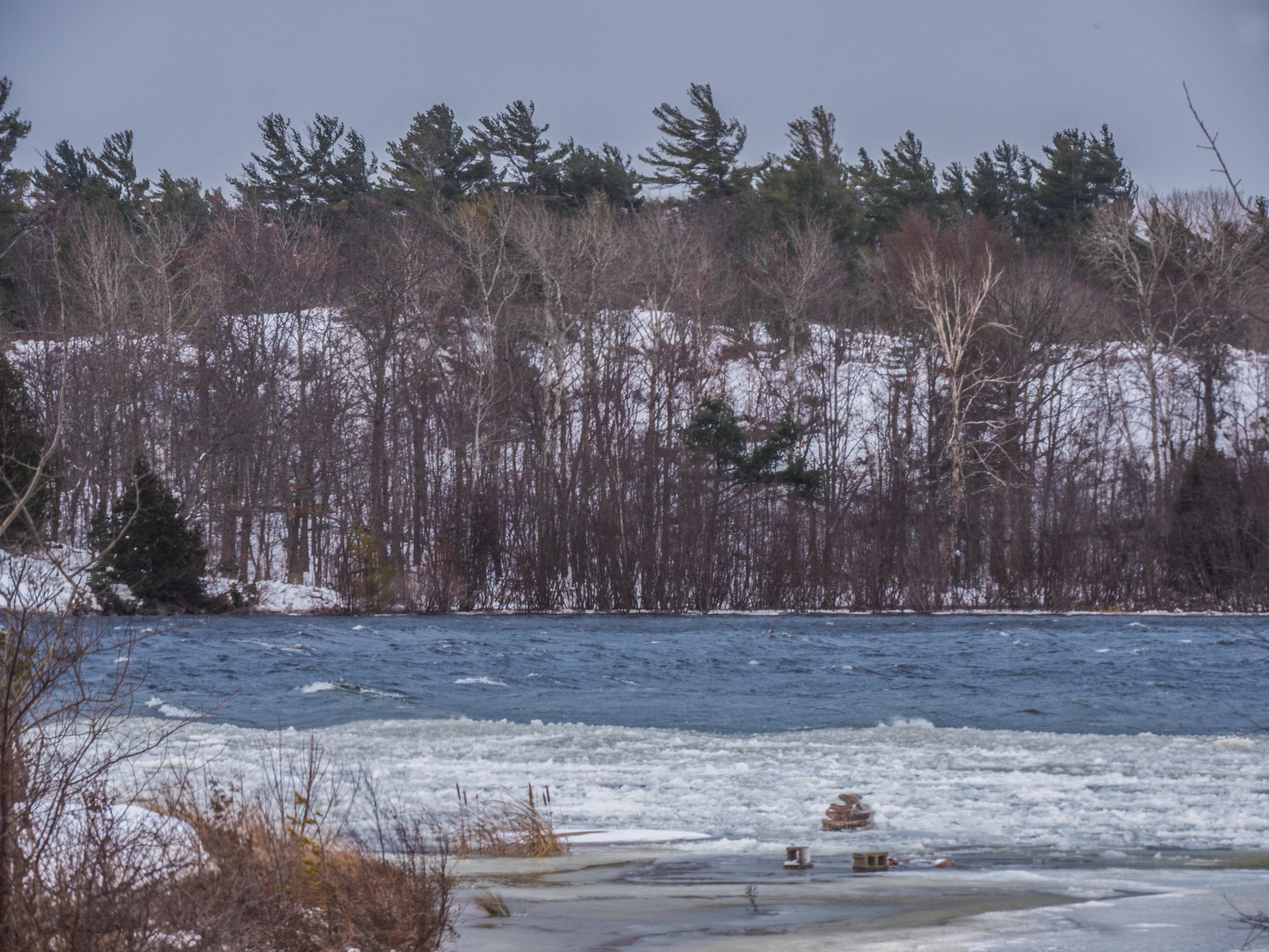
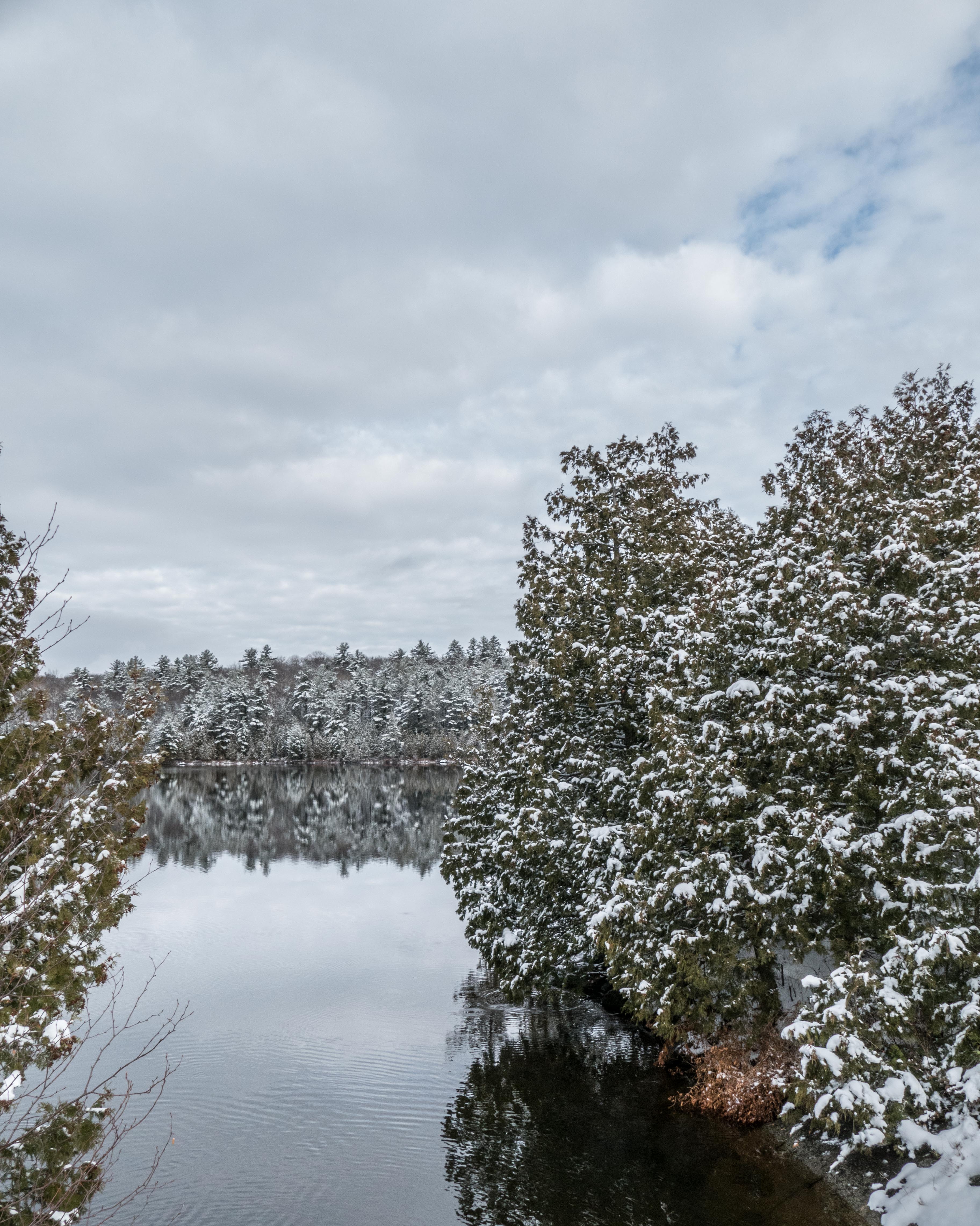
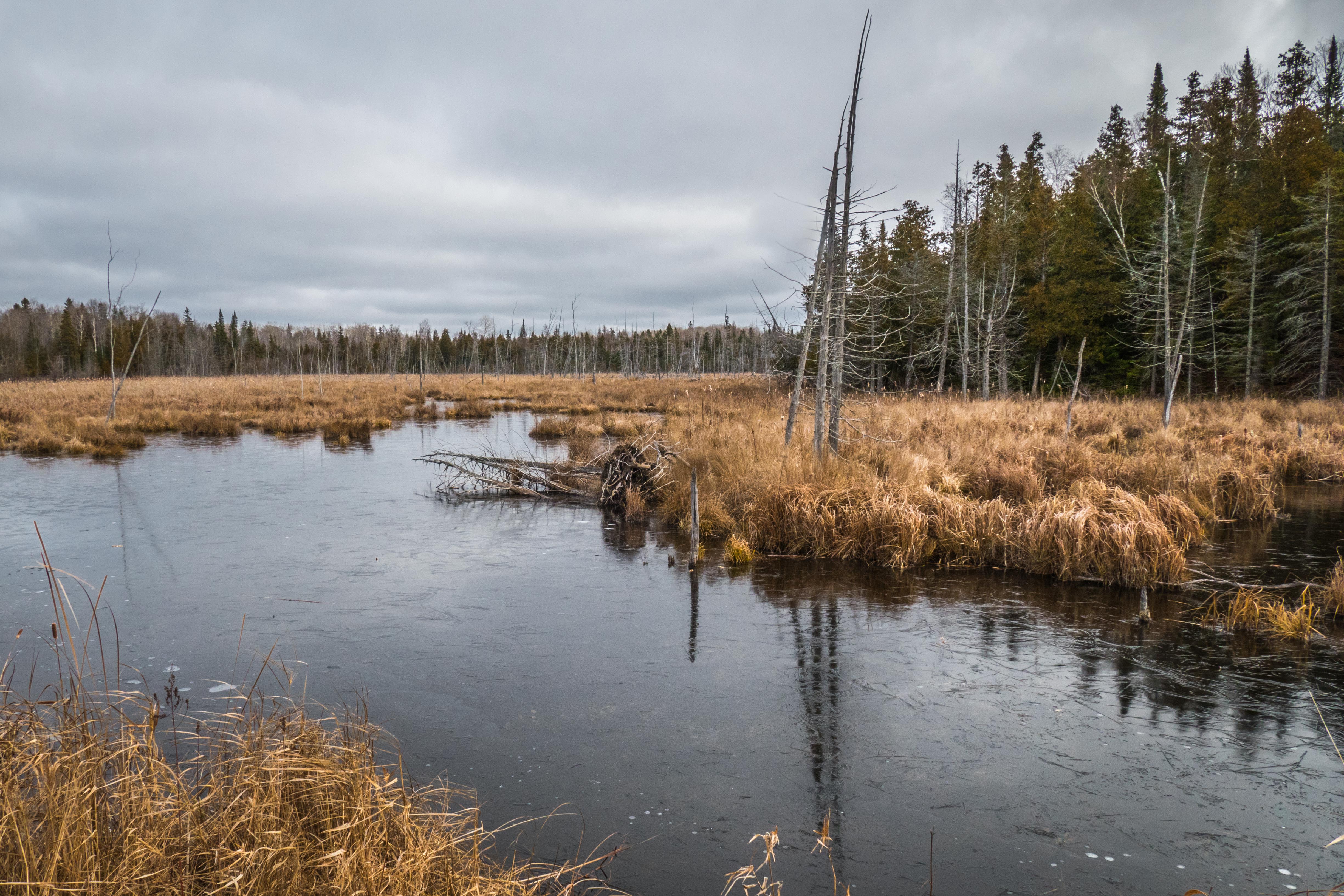
The Still River as it empties into Byng Inlet from Old Legion Road.p1810619-1

Just upstream, left of the above, a family of beaver are laying in a huge stock of feed, stripping the far shore of birch and poplar.   It is right next to their lodge.

These are Mary Holland’s explanations of what is happening:

Beaver Winter Food Supply Cache

https://naturallycuriouswithmaryholland.wordpress.com/2016/11/28/fall-beaver-lodge-renovations/

In some of the above images you might enjoy clicking on the photo to see some of the fine detail.

20161120-22 Oh, Wild West Wind, …

thou breath of Autumn’s being
  Thou from whose unseen presence the leaves dead
Are driven like ghosts from an enchanter fleeing….

http://www.bartleby.com/101/610.html

It is that time of year again, winter cometh but as P.B. Shelley said, “If Winter comes, can Spring be far behind?”

Here are some late fall pix taken over the last few days:

p1810352-1

Phragmites waving in breeze …

p1810360-1

Shebeshekong Road:

p1810382-1

Familiar sights along the Skerryvore  Community Road:

p1810385-1

p1810388-1

p1810391-1

Tamaracks have lost their needles now …

p1810392-1

Gereaux Lake looks cold..

p1810400-1

Virgin’s Bower leaves little puffs after throwing their seeds …

p1810401-1

Virgin’s Bower inflorescence up close …

p1460766-1-2

These are attracted to my doggie, Brandy, the German Shepherd …

p1460804-1


Phragmites in the sunshine …

p1460808-1

WHA???  This time of year??

p1460830-1

I just had to make a record of these little puddles surrounding the floating lily pads.

p1810408-1-crop

This is what they looked like in the landscape, during a light snowflurry…

p1810408-1

You can see the snow flurries a bit more clearly when you click on this photo …

p1460842-1-2

These lily pads are in a different pond a day later …

p1460850-1

See this beaver’s eye and paw?

p1460881-1

I made these two just to examine what our eyes see:

Focused on the piece of ice:

p1460886-1

Focused on the tree trunks in the reflection, the rest “disappears”.

p1460889-1

Aha!  The beaver is back!

p1460859-1

Snow is expected in the next few days.   Nice!

Mary Holland explains the reproductive strategy of Ladyslippers.

20161113-14 “Supermoon” rising …

Before the rising of the much promoted supermoon I made a few nice pictures that might be of some interest …

Late afternoon light on the last of the Tamaracks still with needles …

p1810172-1

These goldenrods might be Canada Goldenrod….

p1810176-1

Evening sky with low clouds over Big (Gereaux) Lake …

p1810179-1

I did a little research to photograph the rising of the (almost) full moon on February 14 at Straight Lake from Hwy 69 between the Bekanon Rd and Key River.  I looked at the azimuth angle (the angle measured clockwise along the horizon from true north) and plotted it on a Google Earth image of the location.  It looked like it would rise above the far shore, to above the three spruce trees in the right foreground of this photo:

https://brtthome.com/wp-content/uploads/2016/10/p1800146-1.jpg

But I used the wrong day and the moon rose where it should have  —– right next to the rightmost small spruce.  It then promptly disappeared in the foliage…

p1810204-1

Here it is again, with my long 800 mm equivalent telephoto lens, poking up over that distant treeline.

p1320514-1

Here it is again, 4 1/2 minutes later, disappearing into the spruce branches:

p1320516-1

On the next day, November 14th, I went to the public dock in Byng Inlet to make another try.

This is the setting sun, behind the hamlet of Byng Inlet …

p1320521-1

The wind calmed giving this nice view of the Eastside part of Britt.  I expected the moon to rise just to the right of the rightmost white house.

p1810256-1

This is what the moon looked like as it rose above the clouds on the horizon:

p1810348-1

A little earlier as the moon emerged from the lowest cloud deck.

p1460690-1

Here is a time lapse video of the moon rising out of the low clouds.  It works in my Safari browser but not in my Firefox browser.

Save