We left Bowes St, Parry Sound, went east along McDougall Road, then North through Hurdville, to Waubamik, up The Bunny Trail to Boundary Lake and back along Hwy 124 to return along Hwy 69 with a stop at Site Nine.
McDougall Township was named after William McDougall, one of the “Fathers of Confederation” and is one of the three (Seguin, McDougall, Carling) large rural townships bordering on Parry Sound.
Here are some of the fall scenes visible from the car:
Haines Lake from McDougall Road …

Looking north from McDougall Road, west of Deer Run Golf Course….

McDougall Road, east of Deer Run Golf Course.
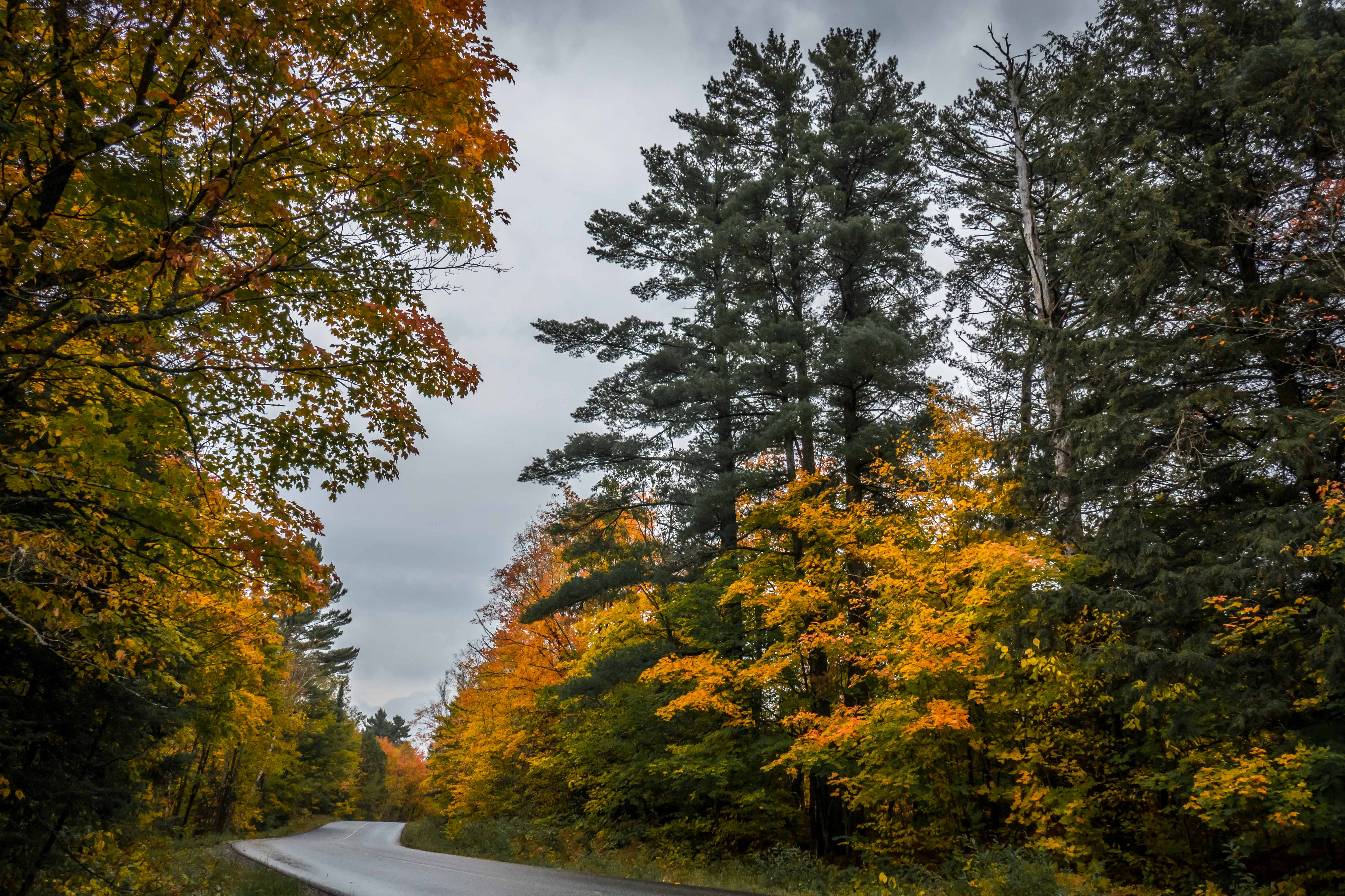
Further West on McDougall Road … before the Hurdville Turn-Off.

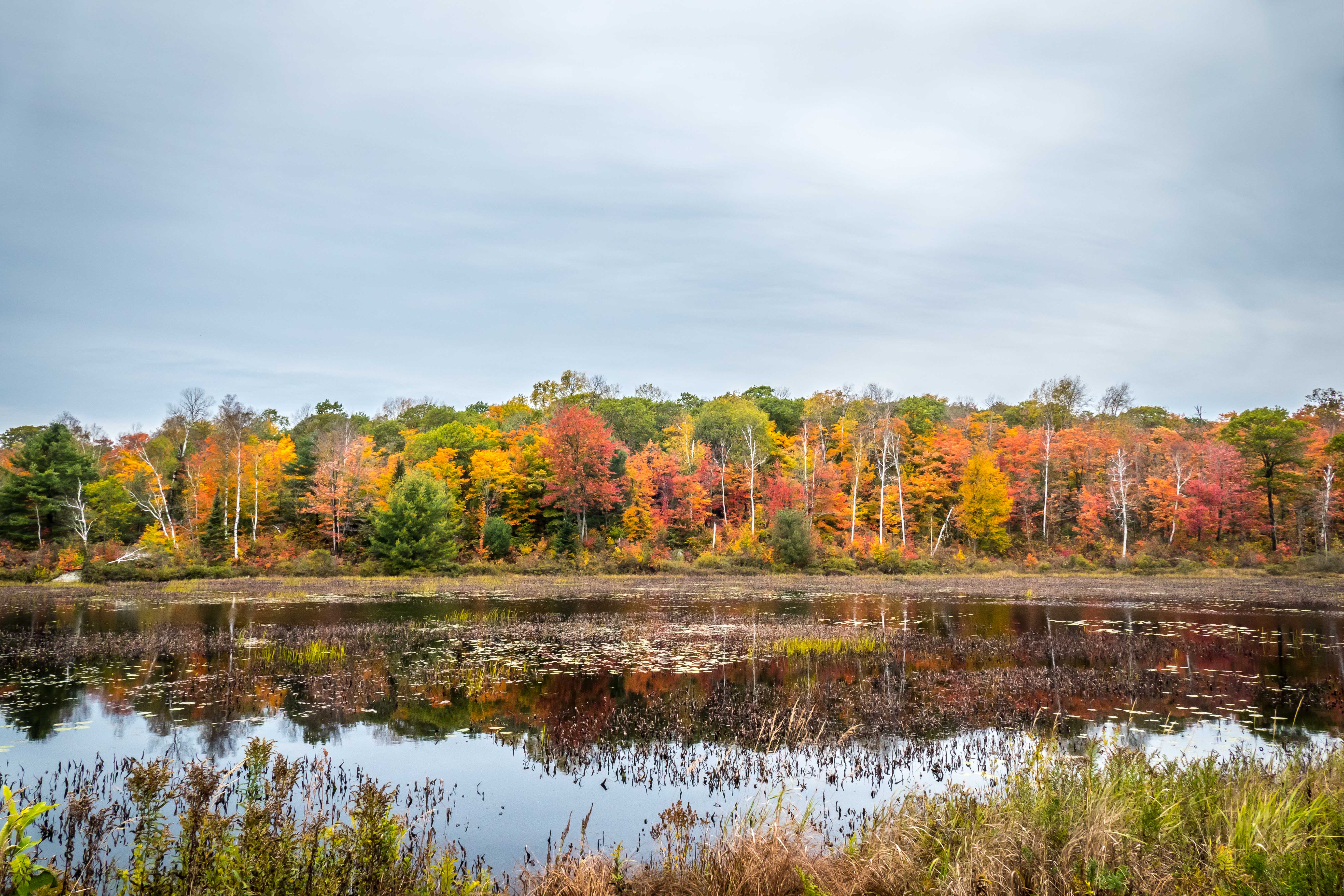
Road off of the Lorimer Lake Road …

Looking West from Bunny Trail…
Looking northerly at the CNR level crossing of the Bunny Trail

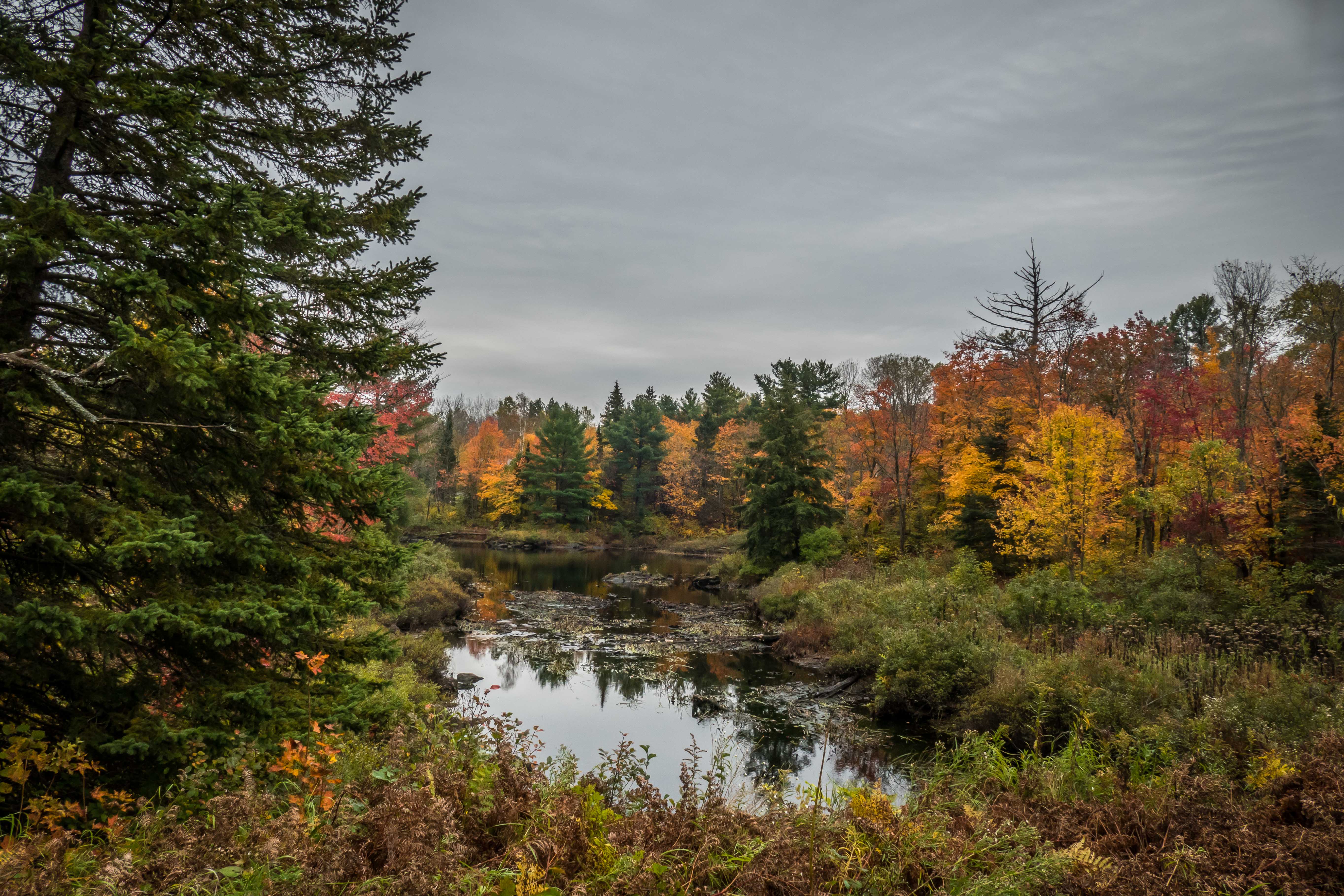
Looking westerly near the boundary with Whitestone Township, south of Stibler’s Road…

On the way back, looking easterly …
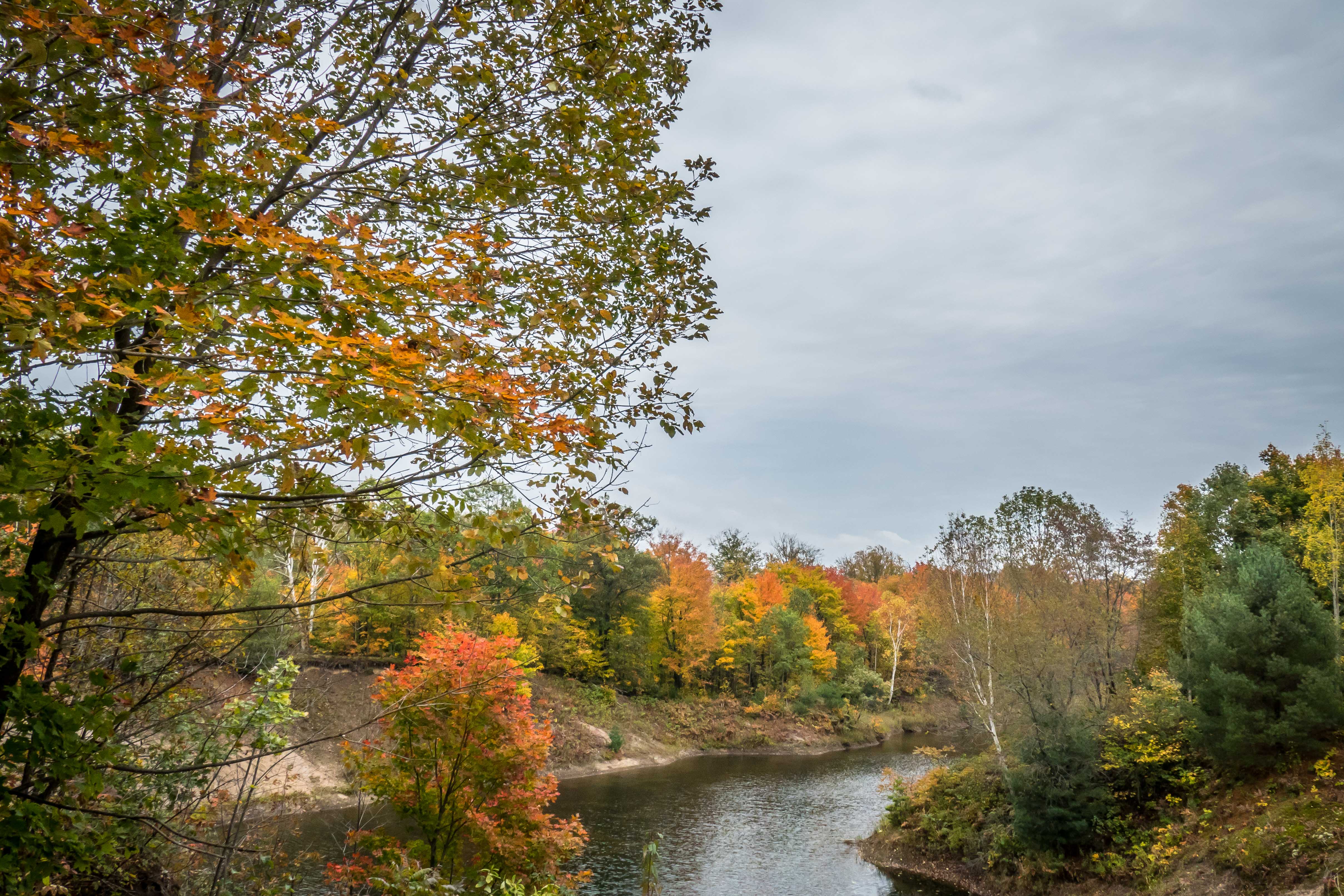
Looking east from Lorimer Lake Road…
Looking northerly from the Site Nine Road off of Hwy 69…

The intermittent showers gave us some damp leaves, making them a bit more “showy” than dry leaves.
