We enjoyed some warmth in early November before a dramatic change on November 9th, 10th and the 11th when it froze hard.
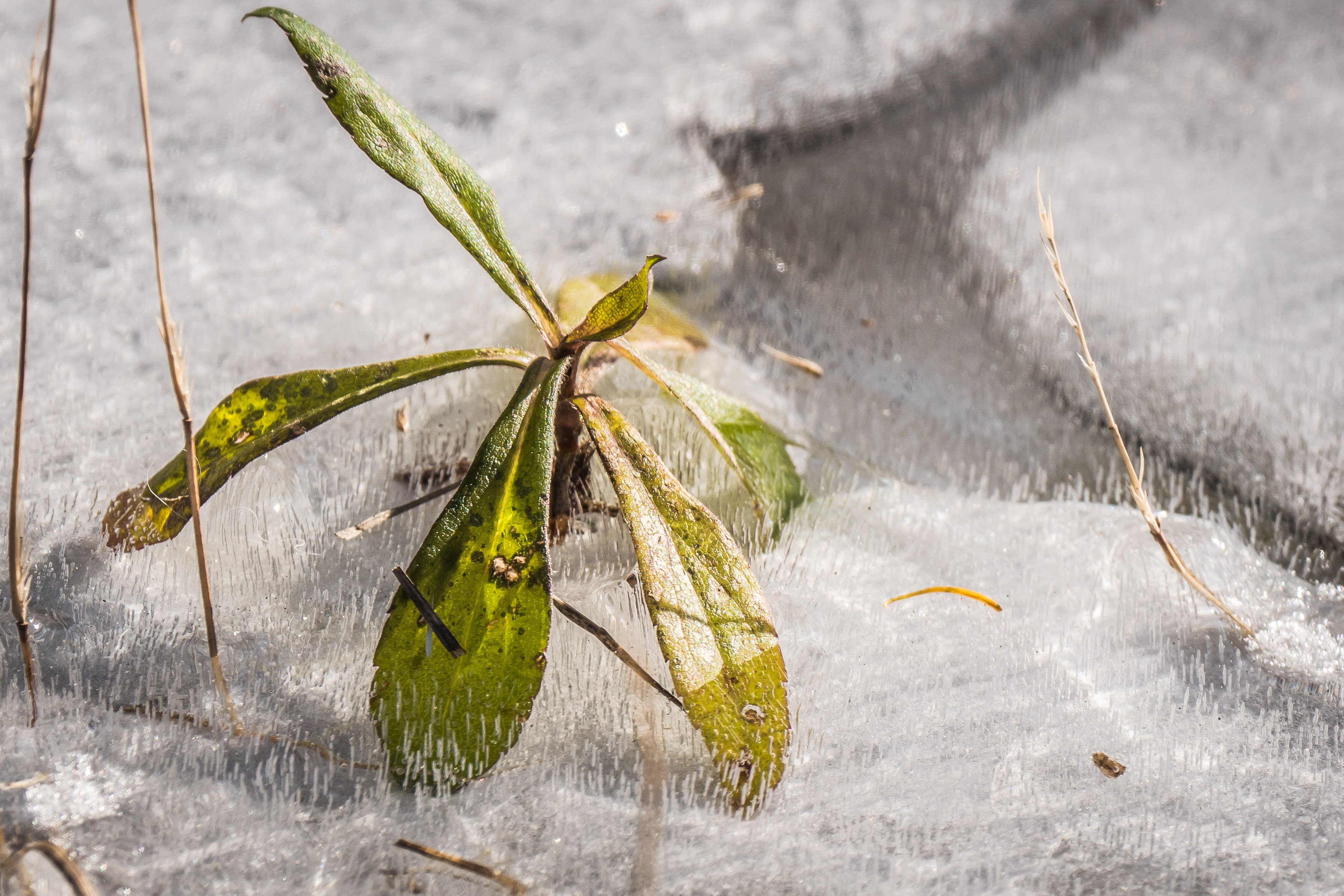
Here is a nice example of a Butter and Eggs flower which was enjoying Nov 7th along the roadside of Hwy 529.
“Linaria vulgaris (common toadflax, yellow toadflax, or butter-and-eggs) is a species of toadflax (Linaria), native to most of Europe, northern Asia, the United Kingdom, Spain, east to eastern Siberia, and western China. It has also been introduced and is now common in North America.”
The pollinated ripening seed pods are under the blossoms at the tip of the plant.

Cold Continental Arctic air moved in near the end of the week giving bright blue sky colours and low shivering temperatures.
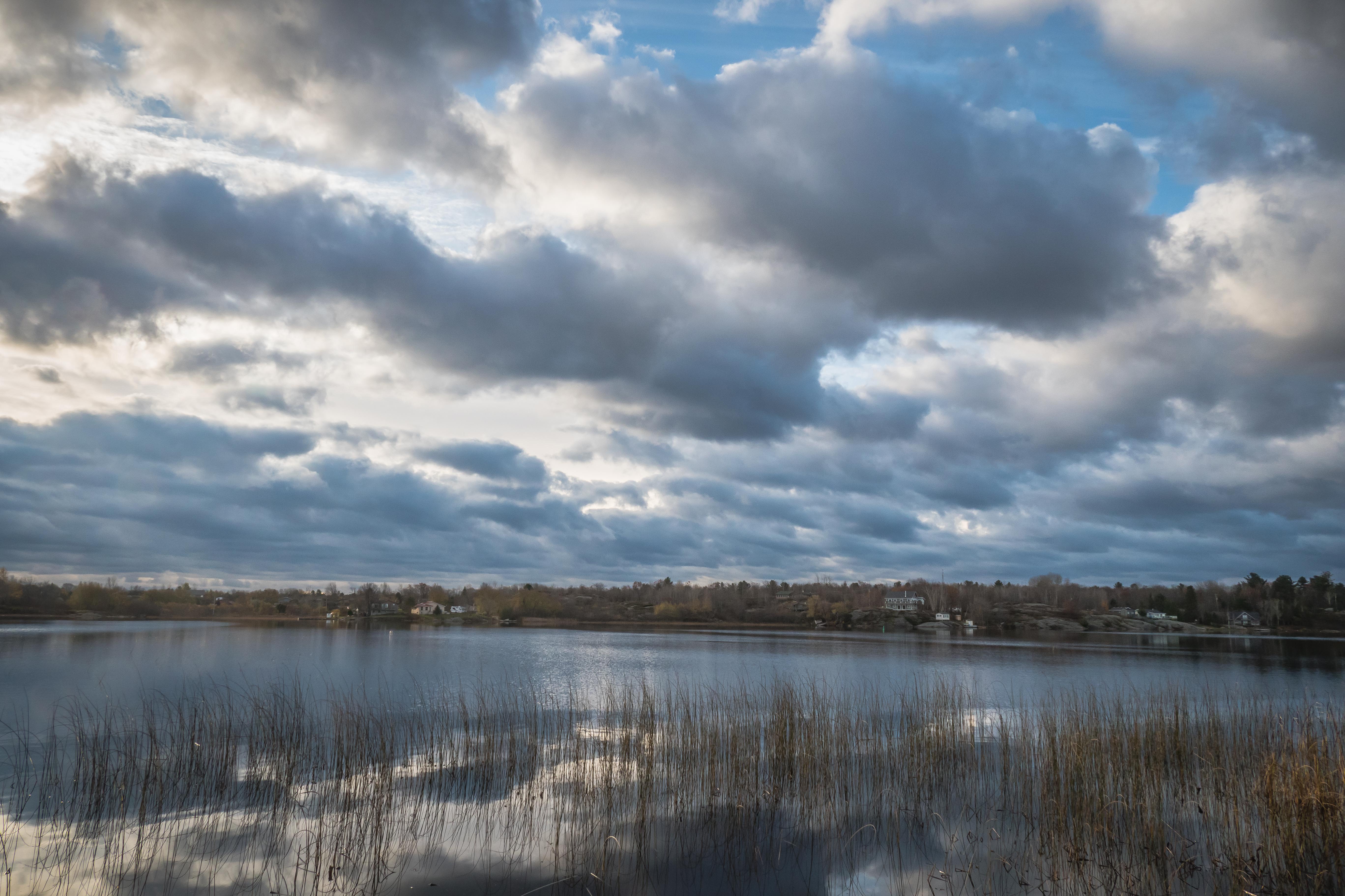
Byng Inlet from Britt…
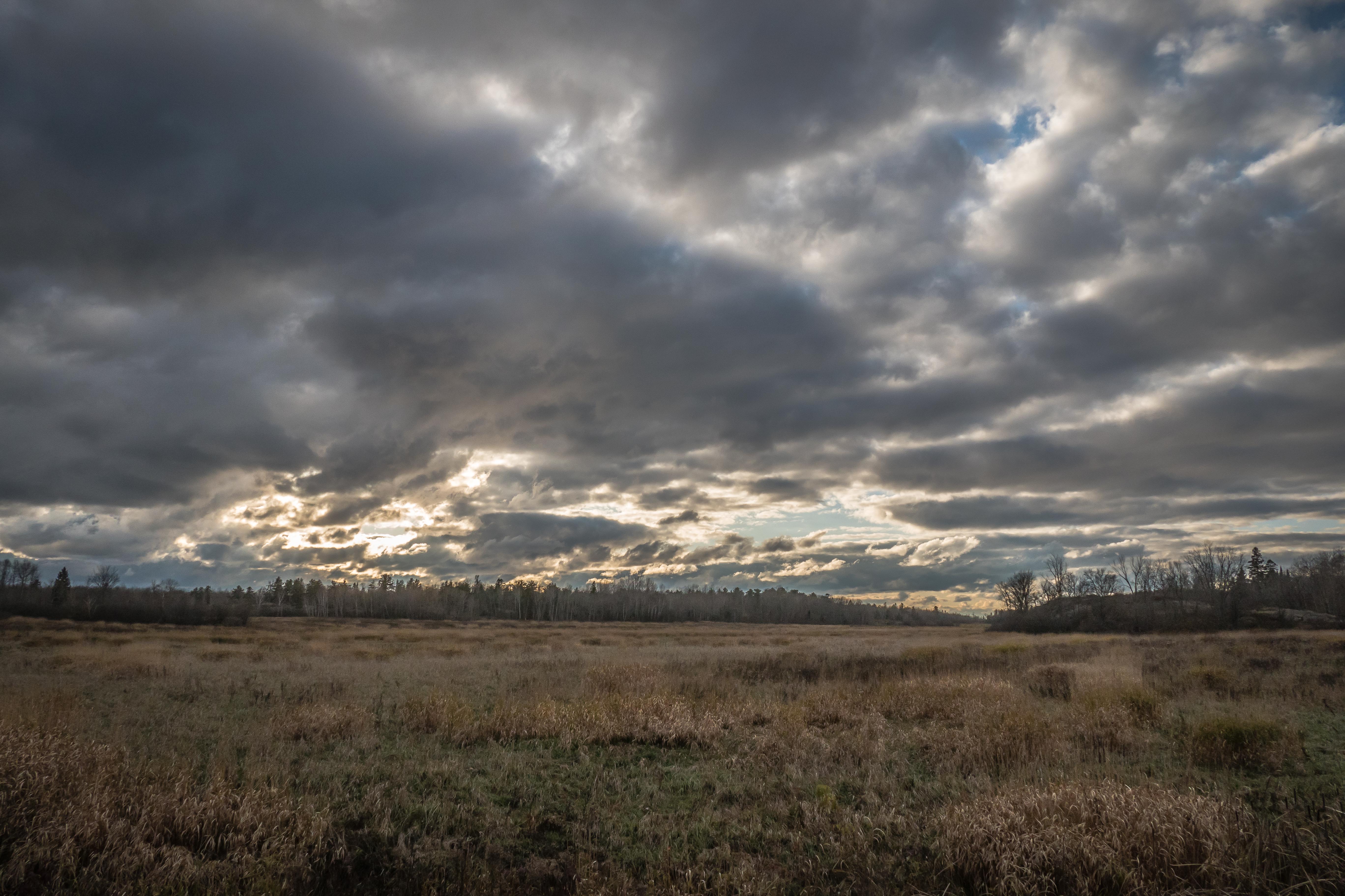
Western sky from the former Dream Inn on Hwy 69…
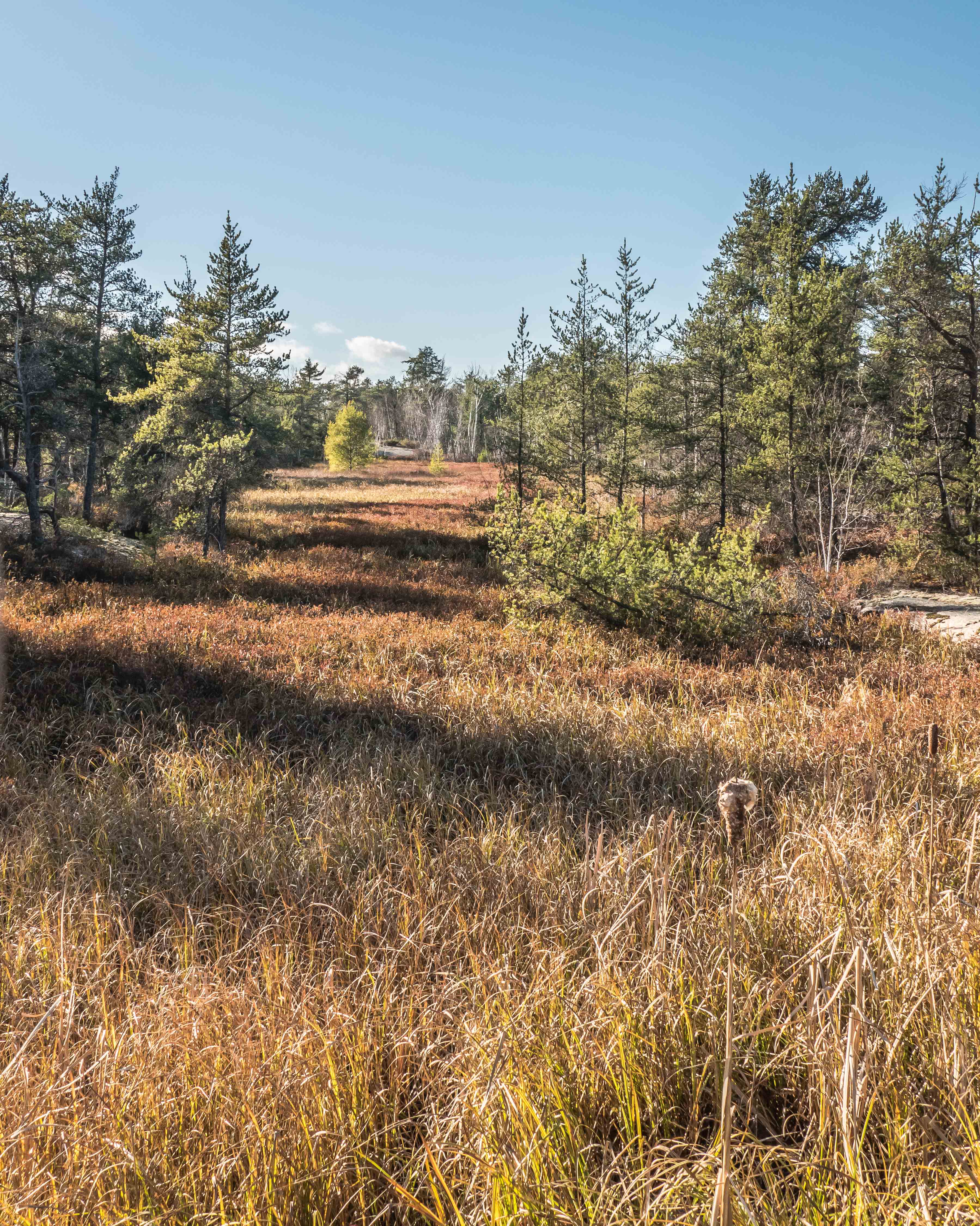
Afternoon sun on a Tamarack, looking East from Highway 69 at Clear Lake (part of Grundy Lake Provincial Park).

Farmhouse and wagon wheels on Hartley Bay Road …

Pond on Hartley Bay Road …

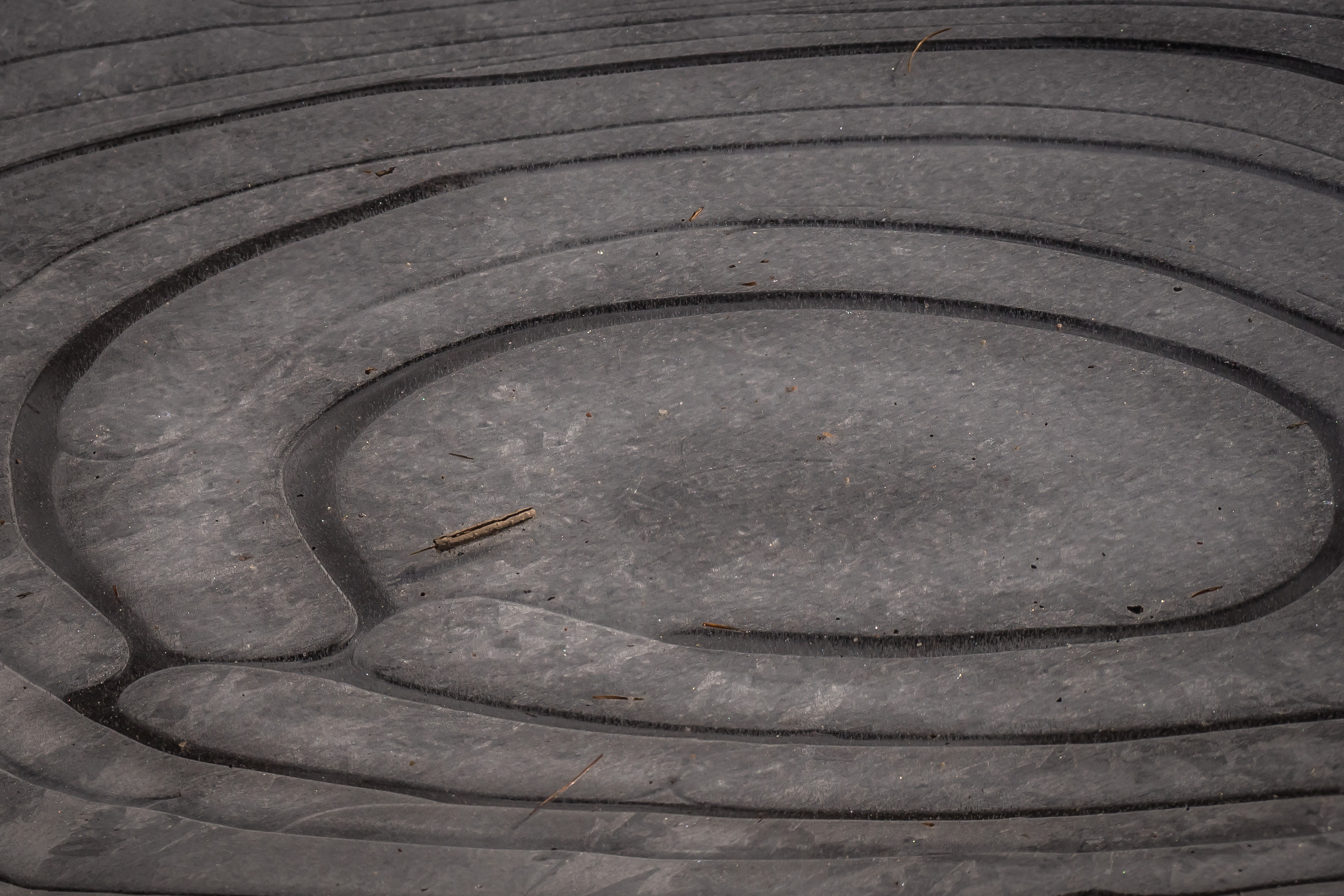
Puzzling puddle of ice near Louisa and Bowes Street, Parry Sound. More about this later …

Pancakes of ice formed on Big Lake …

Cloud patches generated nice dappled scenes…
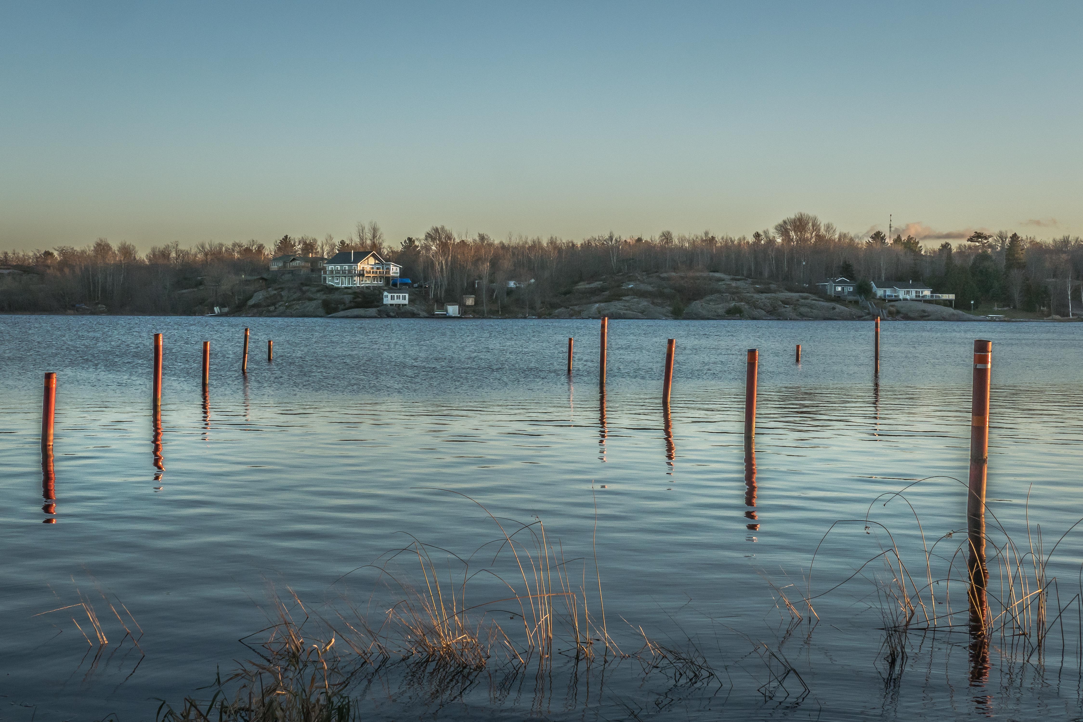
Evening sun on Byng Inlet…
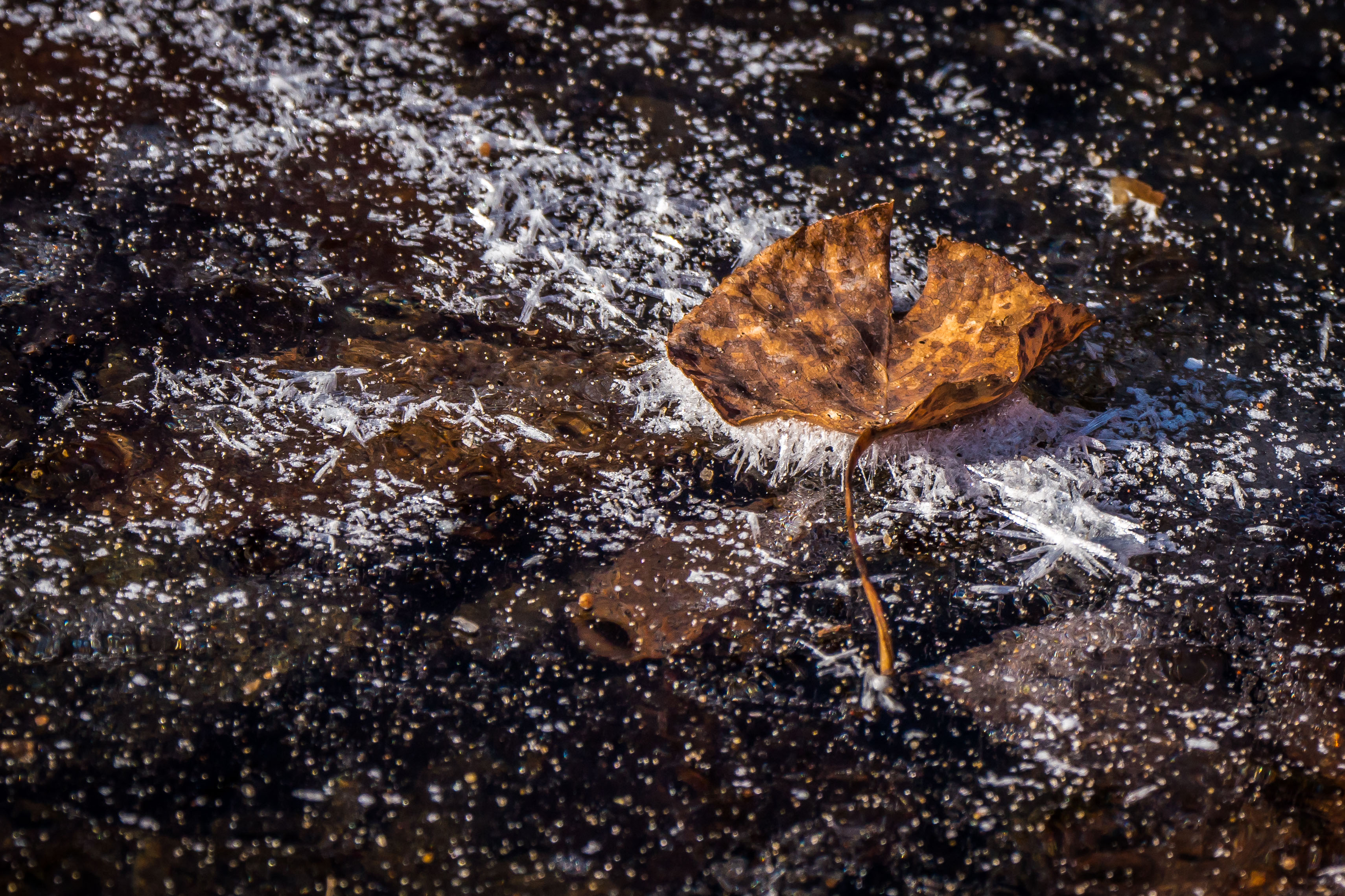
These ice formations led to some illuminating conversations with other naturalists …
Hmmmm….
Little bubbles ….


Frost crystals … formed from condensing water vapour at the Frost Point temperature.
Here are excerpts from a recent email correspondence:
Those puzzling rings….
The puddles froze for the first time on a very cold night (about -20ºC) after comparatively warm (>0ºC) days and nights. Cooling of both the water surface and land surface was due to radiative cooling on the clear night. Because of convective mixing* of water in the puddle, I suspect that water at the very edge of the puddle reached 0ºC first.
*At the start of the night water in the puddle and surrounding land was warm but cooling. The water at the edges of the puddle cooled faster than the deeper water in the centre. Surface water cooled to +4ºC, when liquid water is densest, and sank to bottom. As the cooling continued the colder (than +4º) water rose or stayed on the surface and froze, starting at the edges of the puddle.
The large bands would result from the progressive freezing of the puddle from the outer circumference. It would be modified by the varying depth of the water in the interior of the puddle. The nature of that progressive freezing would also depend on the rates of temperature drop and the seepage out of the unfrozen bottom of the puddle.
Since can form from liquid water and from condensing water vapour, I suspect that the variation in the the bands is due to varying amounts of frost (frozen condensed water vapour) on the underside of the ice sheet over the puddle.
Vertical structures…
I am now convinced that those vertical structures are long vertical (cylindrical) bubbles of air entrained in the ice.
How they got there is a matter for further observation and thinking.
In the above case the ice crystals are formed from condensing water vapour at the Frost Point temperature.
Nice range of photos: https://www.flickr.com/groups/frozenpuddles/pool/
AHA!!! Vertical expanses of bubbles frozen in water: https://www.flickr.com/photos/incrediblehow/6808582093/in/pool-frozenpuddles/
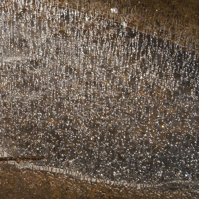
Another one. “Air in Ice” …. https://www.flickr.com/photos/gripspix/2396360040/in/pool-frozenpuddles/
Then I found this:
Description of “ring formation”: http://www.storyofsnow.com/blog1.php/why-do-frozen-ponds-and-puddles-have-lines
The above description explains how the ring formation is affected by the role of surface tension “pulling” the surface of the water up to the undersurface of the ice. Very nice.
So I think we’re on the right track here. Now, if we could only understand the formation and propagation of those ice bubbles the Universe would be understood, eh?
