April Fools Morning had motorists scrambling and folks checking their sump pumps. Brandy and I inspected the local area to record the following phenomena:
Roadside ditch on Old Still River Road with Hwy 69 in the background. Whirlpool indicates entrance to 3′ diameter culvert under the road.

Downstream, another whirlpool into two old (1910) culverts under the CPR main line.

Water level in the Still River has broached the bottom of this Bailey Bridge just upstream from my place.
The hayfields across from the Dream Inn are getting well irrigated.

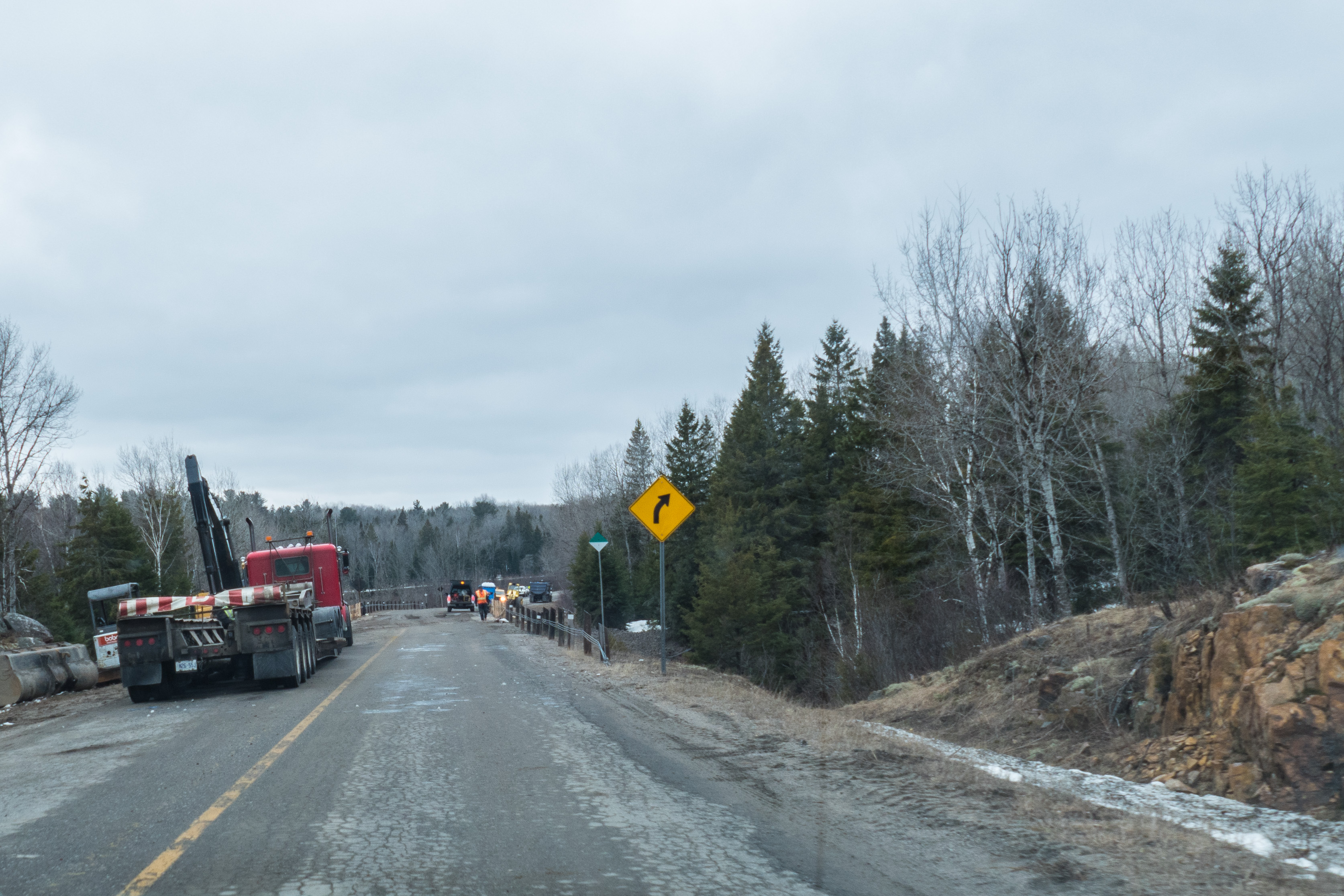
This is one of two washouts on Hwy 522. They were important as this was one of the detour routes around the flooding closing Hwy 69 in Pointe au Baril. Heavy equipment and lights were brought in to quickly repair the collapsed culvert in about 6 hours. Kudos to the MTO and contractors.
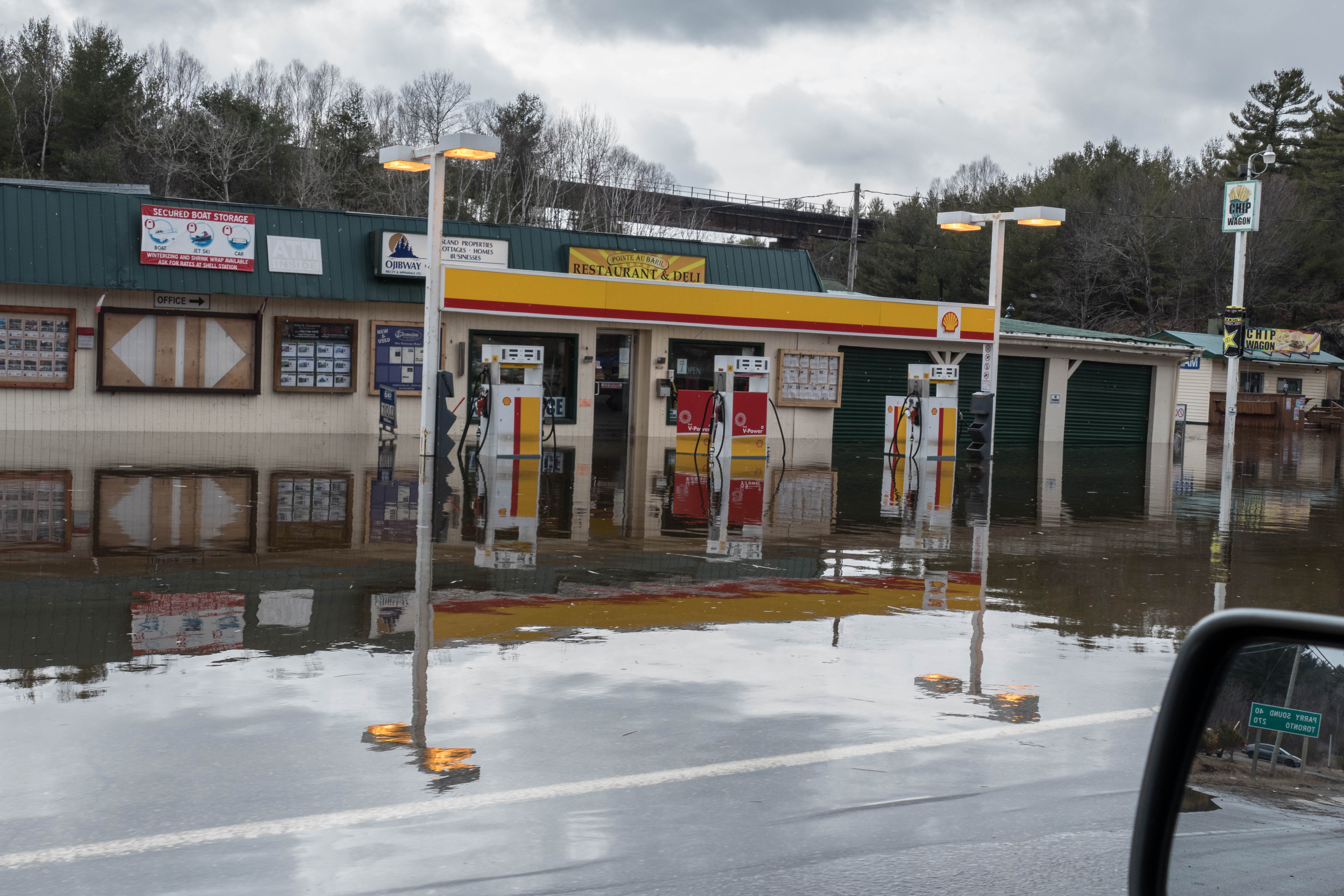
The almost annual event in Pointe au Baril, where it is surprising to see these lights still on. That is the very high CPR trestle in the background.
By late afternoon the water had subsided enough to reopen Hwy 69, the Trans Canada Highway between Sudbury and Toronto.


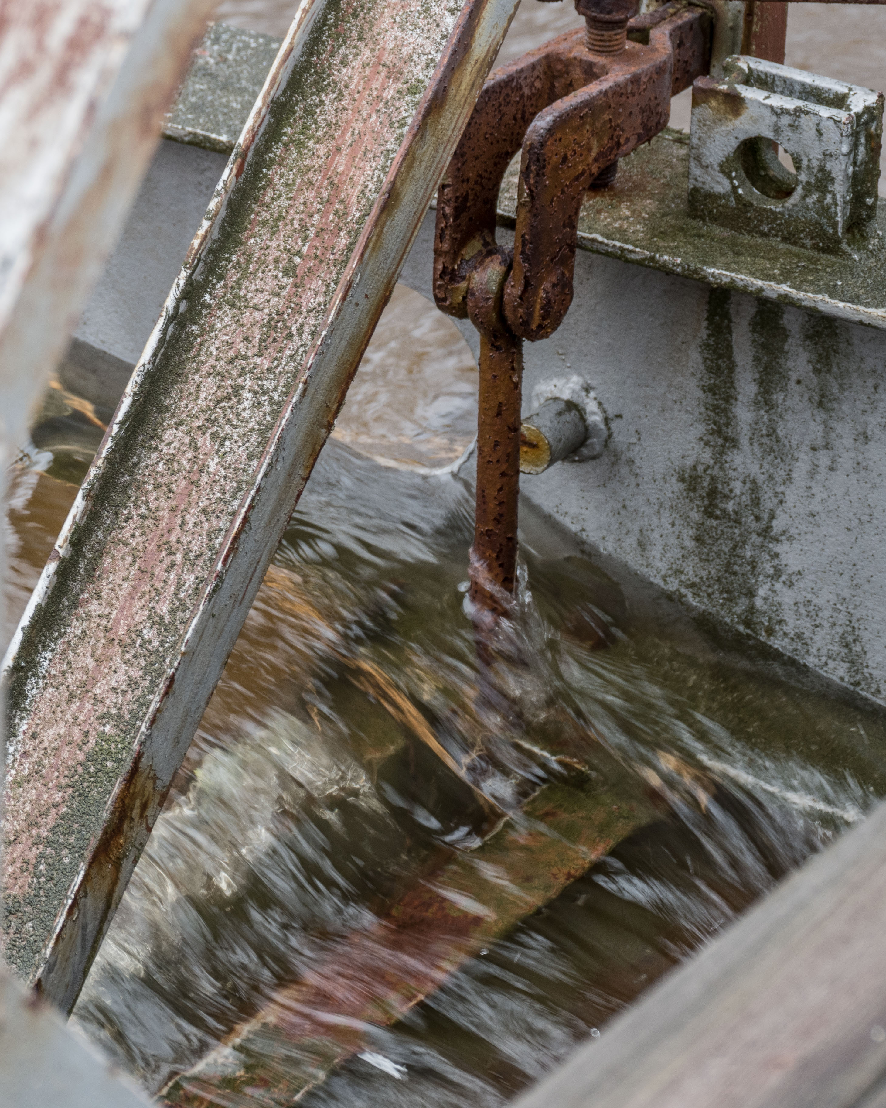
That is a 40 Horsepower Mercury “water pump” pushing water into the culvert, thence into the flooded Sucker Creek flowing into Georgian Bay.

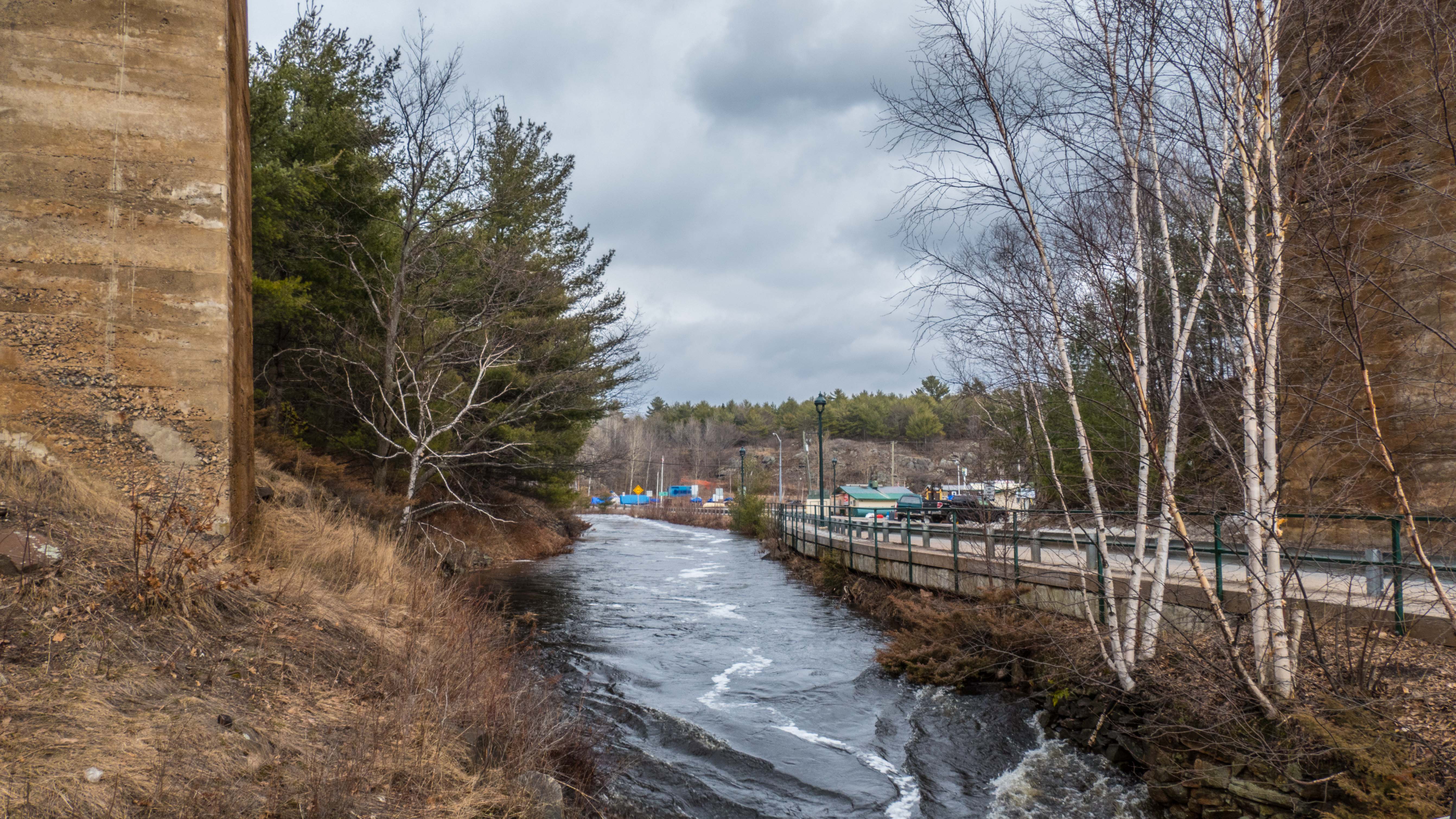
Sucker Creek flowing under the high CPR trestle:
Almost all highways were restored to normal by the weekend. Good work!

Wow Tom, informed of this and ………deja vu. Thank you.
Amazing pictures as usual Tom.